Rincon, Puerto Rico Surf Forecast – Feb 13, 2015

Plenty of waves on the way after the big stuff fades out.
This weekend will fade out a little more than originally anticipated, but there will still be plenty of perfect days to surf. In fact, we will continue with a full week of swell and a couple more big days early next week. This February has been amazing! It’s been a while since I’ve really seen Rincon turn on consistently. It used to do this more often.
The breakdown:
Saturday: Still fairly huge in the morning but fading throughout the day. Expect to see some 2-4ft overhead surf in the morning with the rogue double overhead set here and there during the early morning hours with super glassy conditions. By evening it will be down to head high.
Sunday: Head high conditions possibly bigger at the most exposed breaks. The little NW push will fade out as the day goes on. The winds will pick up drastically by late morning. The crowds will be intense this day just about everywhere.
Monday: Chest to head high with hard NE winds. Tucked away spots will be clean, but the north side of Rincon will be chopped out early.
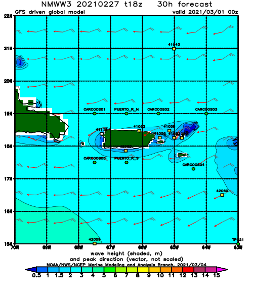
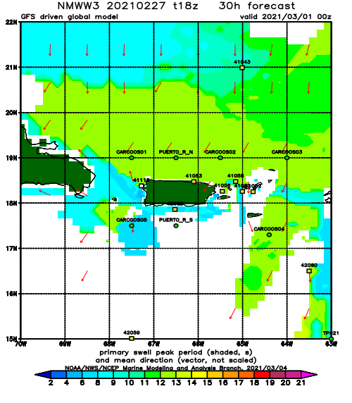
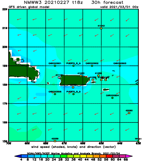
Tuesday: Double overhead and glassy conditions. A new NW swell with a decent period in the 14 second range and hard east winds will make all the west facing beaches perfect.
Wednesday: Almost a repeat of Tuesday but fading conditions through the day.
Thursday/Friday: Waist to chest high leftovers and glassy conditions.
Today
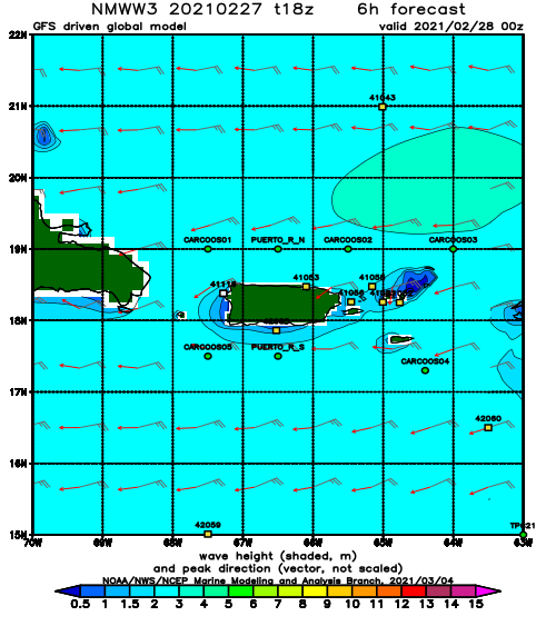
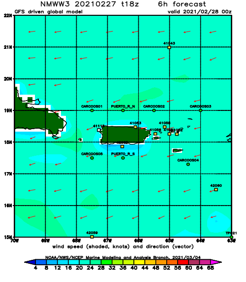
NOAA WaveWatch III Wave Model:
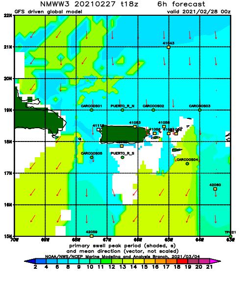
Forecast Swell Period:
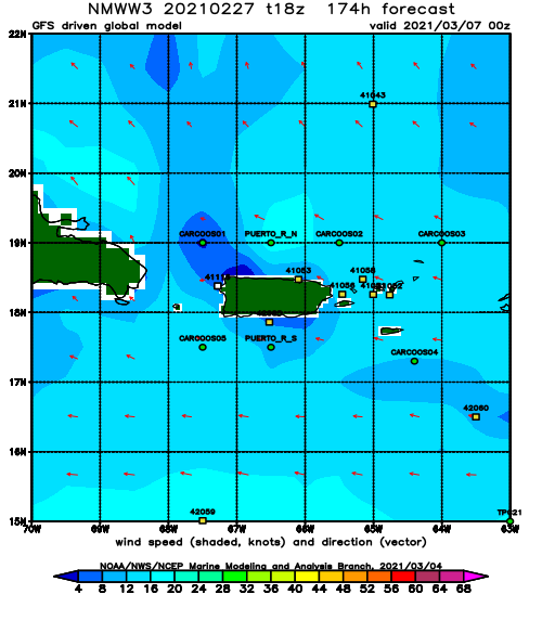
Forecast Winds:
Wed
NOAA WaveWatch III Wave Model:
Forecast Swell Period:
Forecast Winds:
Thu
NOAA WaveWatch III Wave Model:
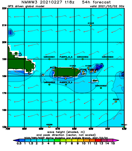
Forecast Swell Period:
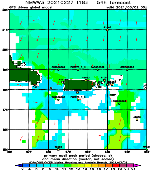
Forecast Winds:
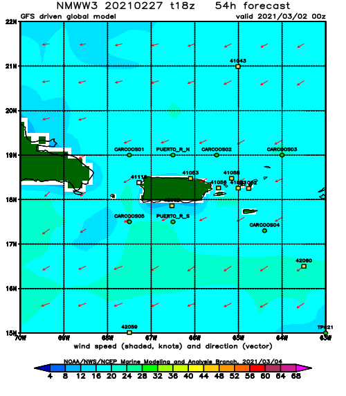
Fri
NOAA WaveWatch III Wave Model:
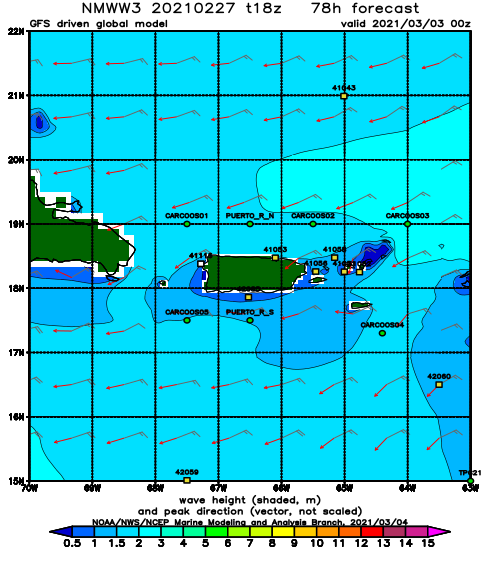
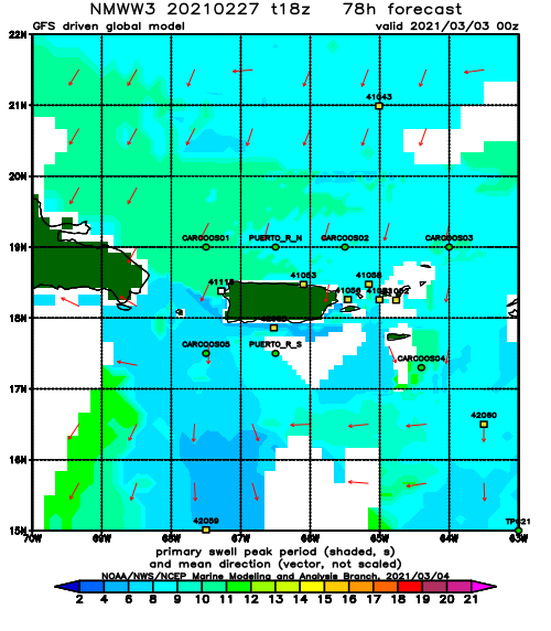
Forecast Swell Period:
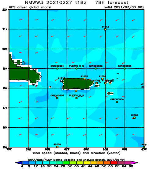
Forecast Winds:
Sat
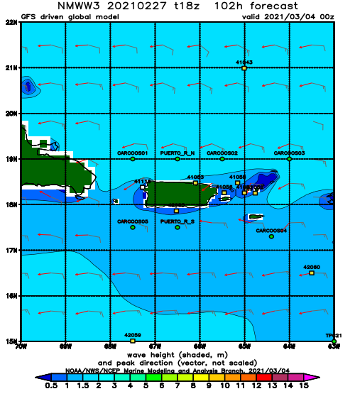
NOAA WaveWatch III Wave Model:
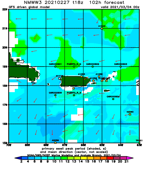
Forecast Swell Period:
Forecast Winds:
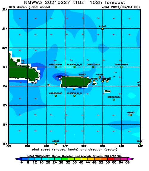
Sun
NOAA WaveWatch III Wave Model:
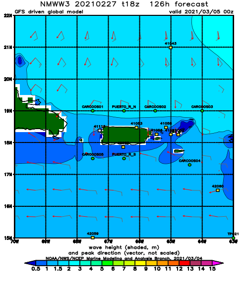
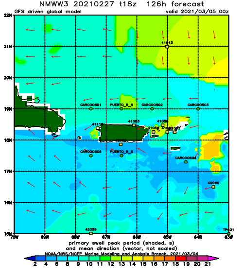
Forecast Swell Period:
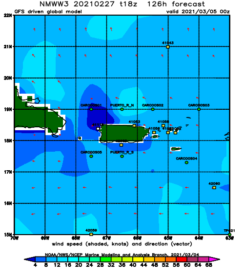
Forecast Winds:
Mon
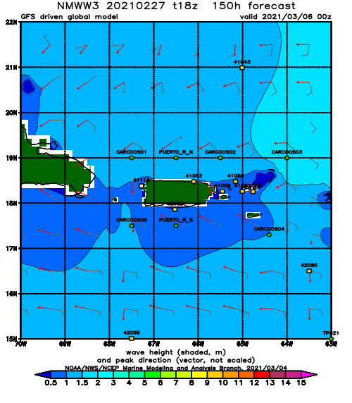
NOAA WaveWatch III Wave Model:
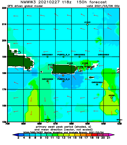
Forecast Swell Period:
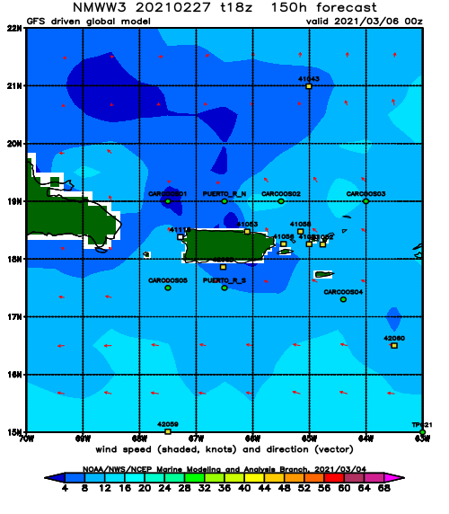
Forecast Winds:
Tue
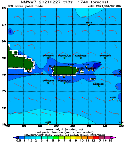
NOAA WaveWatch III Wave Model:
Forecast Swell Period:
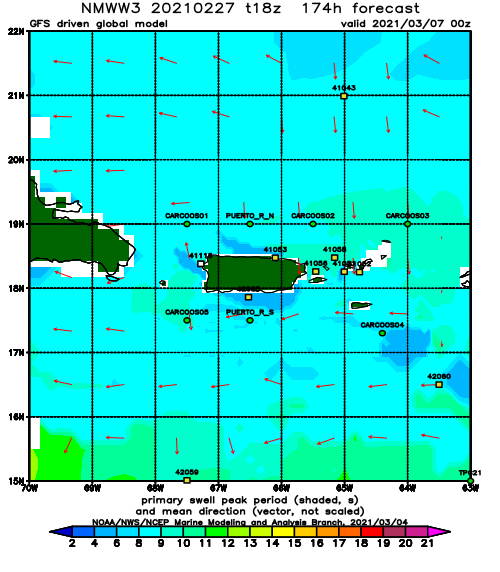
Forecast Winds:
