Rincon Puerto Rico Surf Forecast – May 23, 2017
Surf from long period NE swell still on the way
We should definitely still see some long period swell show up this week. However, I think it’s going to be delayed a day more and perhaps not last as long as hoped for initially. The storm moved out and away quicker than anticipated and as a result, the fetch setup has changed. What happens on the outside buoys will be the best way to judge how long this next swell event will last. The long period swell first showed up on the far North Atlantic buoy at 7am today. Ordinarily it takes long period NE swell 48hrs to hit Rincon once it shows up on the North Atlantic buoy. This is why I’m guessing Thursday for the new arrival date of the swell. The worst case scenario would be a 7pm arrival on Wednesday night. If that happens the swell will peak overnight and we’ll have the leftovers on Thursday if the swell doesn’t last too long. How do we know how long it will last? If we see the swell stay on that buoy for a day or two we’ll know how much surf we’re going to get. I’ll be watching it closely. Even though this is the slower part of the season, it tends to be my most productive time. Having advanced notice of when the weekly or bi-weekly swell is going to show up helps me organize things better. The north side of the island (Isabela and Aguadilla) will still probably be the best place to get decent sized surf in the foot or two overhead range. Rincon will probably be waist to chest. The conditions should be glassy.
Plenty of weather in the extended forecast – more surf for Rincon!
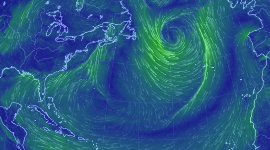
From the looks of everything on satellite imagery of the United States, we should have some more surf lined up for next week and beyond. It’s good to have something to look forward to on the horizon. Such an active weather pattern will keep us surfing.
Today
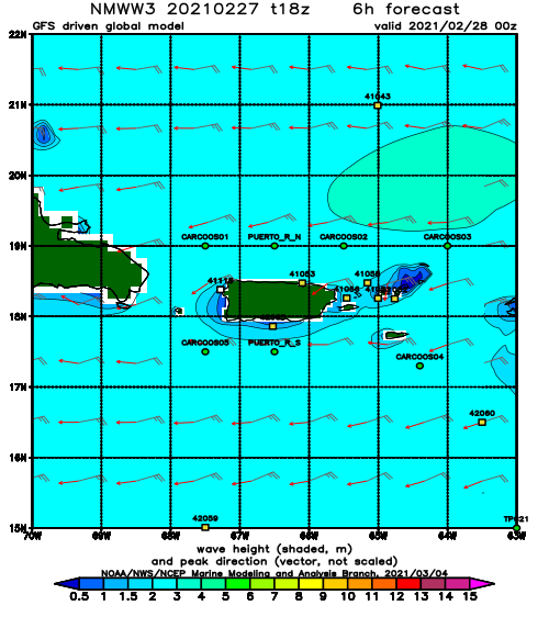
NOAA WaveWatch III Wave Model:
Forecast Swell Period:
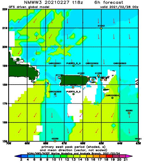
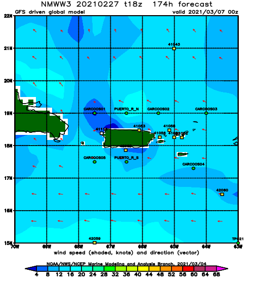
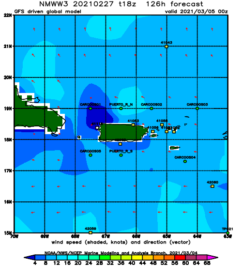
Forecast Winds:
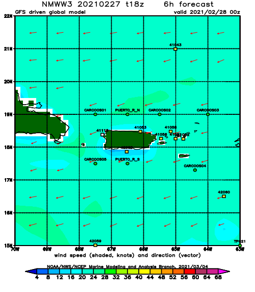
Thu
NOAA WaveWatch III Wave Model:
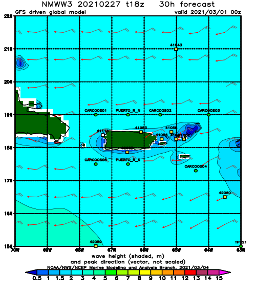
Forecast Swell Period:
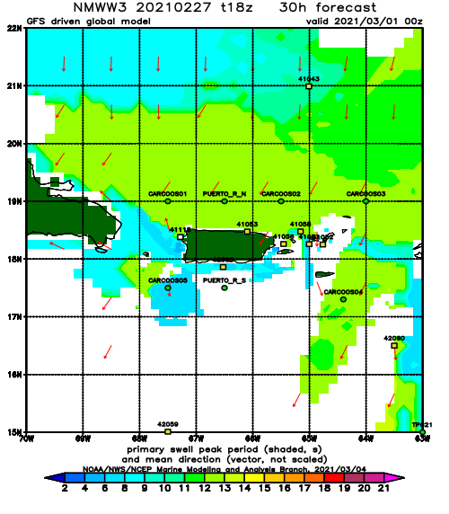
Forecast Winds:
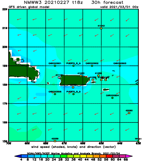
Fri
NOAA WaveWatch III Wave Model:
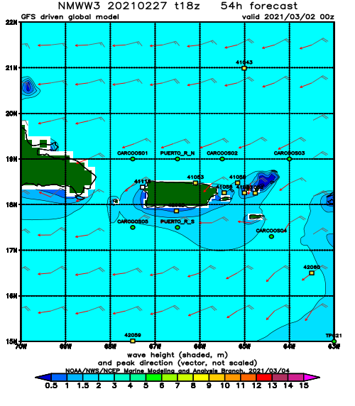
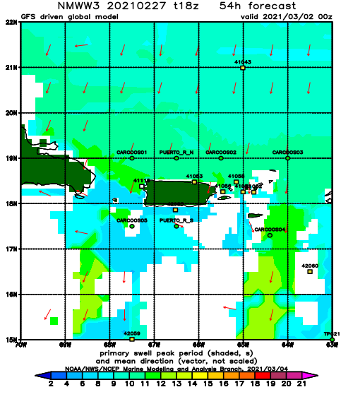
Forecast Swell Period:
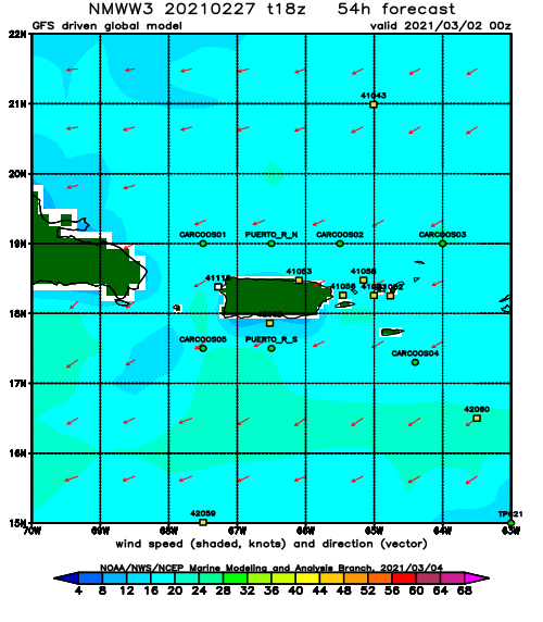
Forecast Winds:
Sat
NOAA WaveWatch III Wave Model:
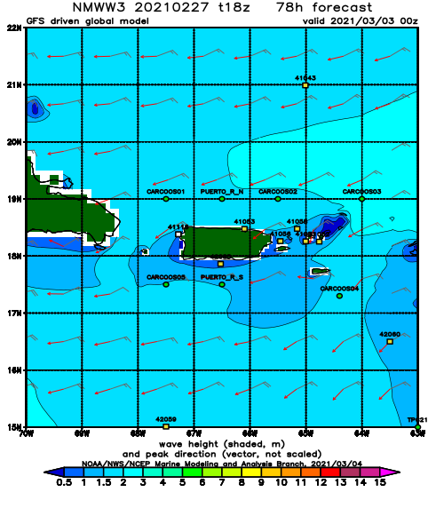
Forecast Swell Period:
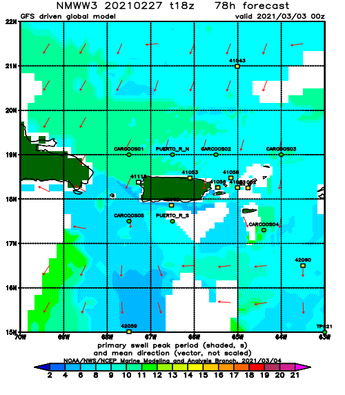
Forecast Winds:
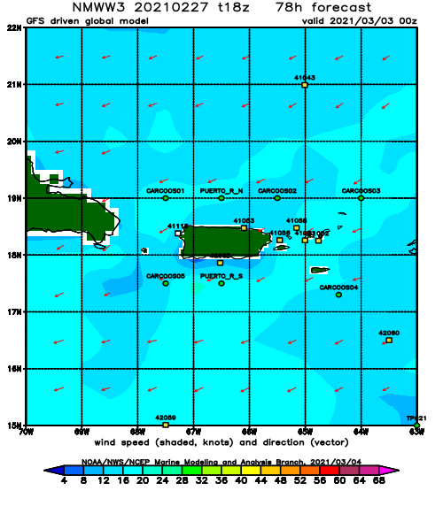
Sun
NOAA WaveWatch III Wave Model:
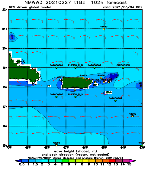
Forecast Swell Period:
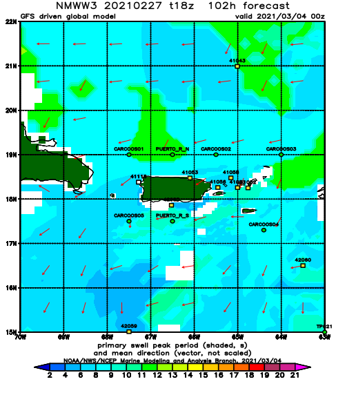
Forecast Winds:
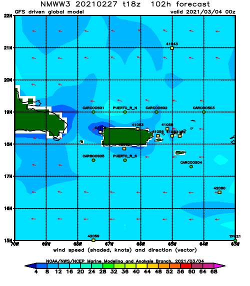
Mon
NOAA WaveWatch III Wave Model:
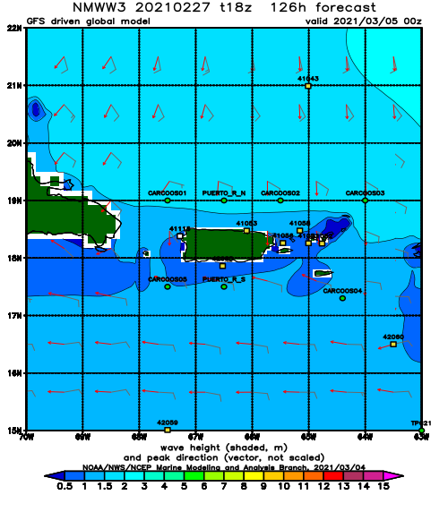
Forecast Swell Period:
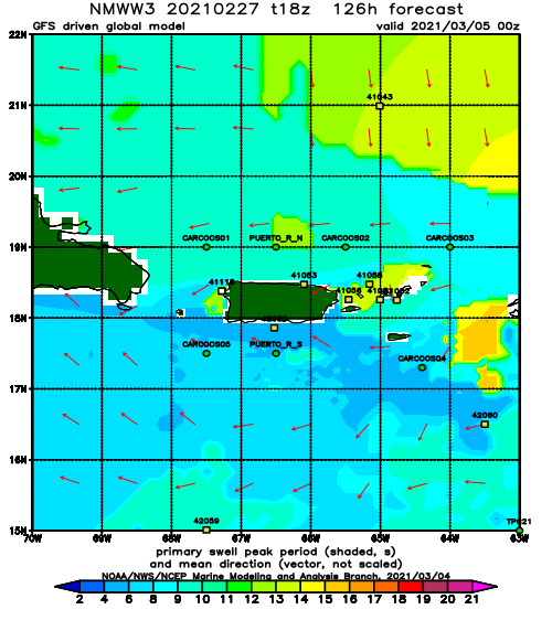
Forecast Winds:
Tue
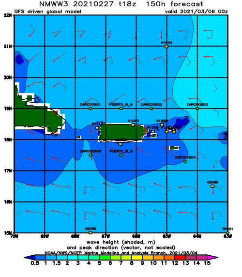
NOAA WaveWatch III Wave Model:
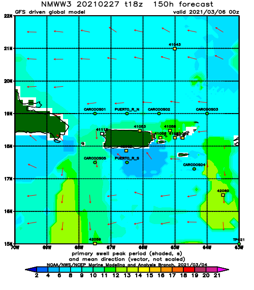
Forecast Swell Period:
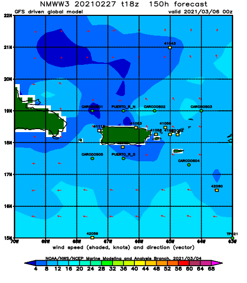
Forecast Winds:
Wed
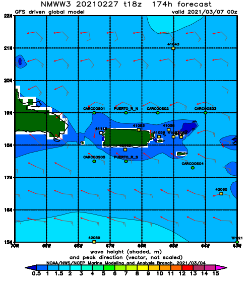
NOAA WaveWatch III Wave Model:
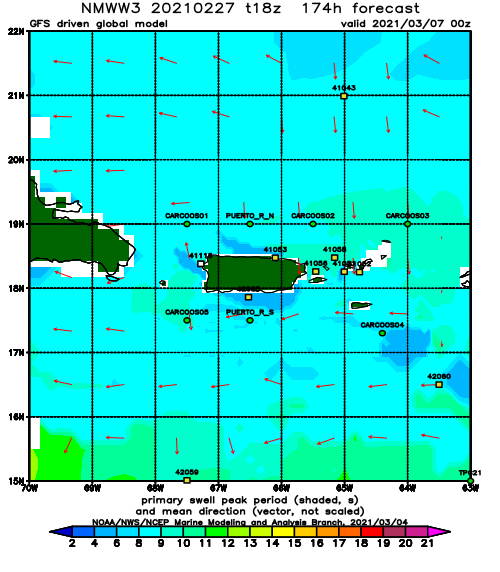
Forecast Swell Period:
Forecast Winds:
