Rincon, Puerto Rico Surf Forecast – Jan 3, 2014
Windy wind chop with an extra side of wind.
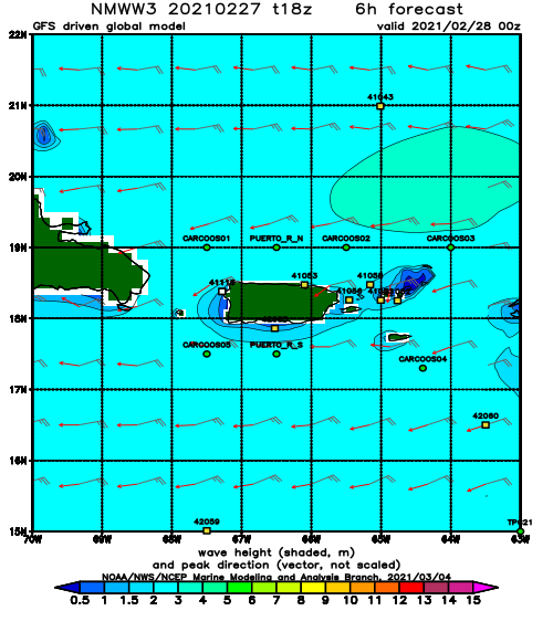
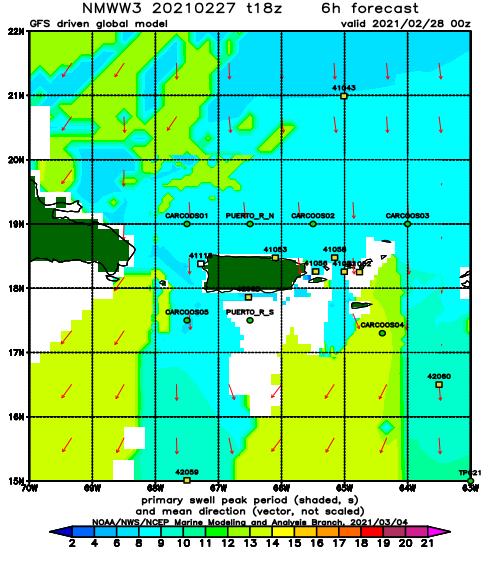
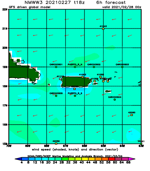
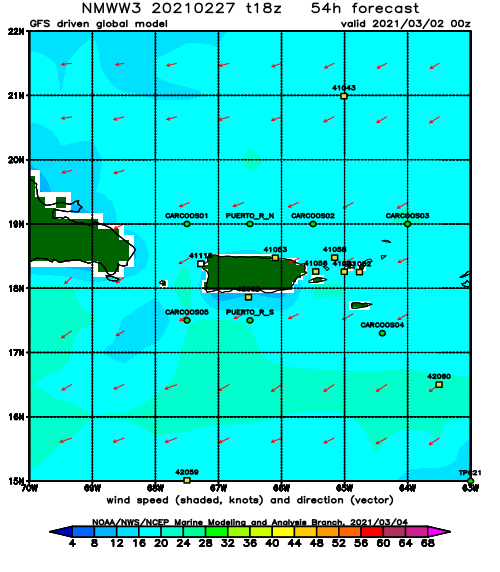
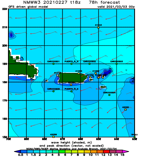
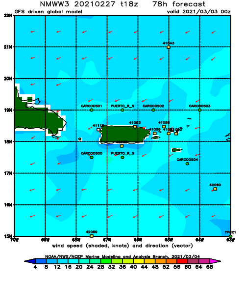
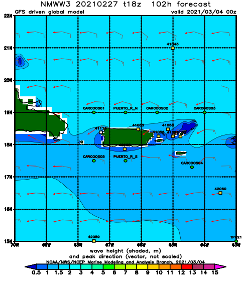
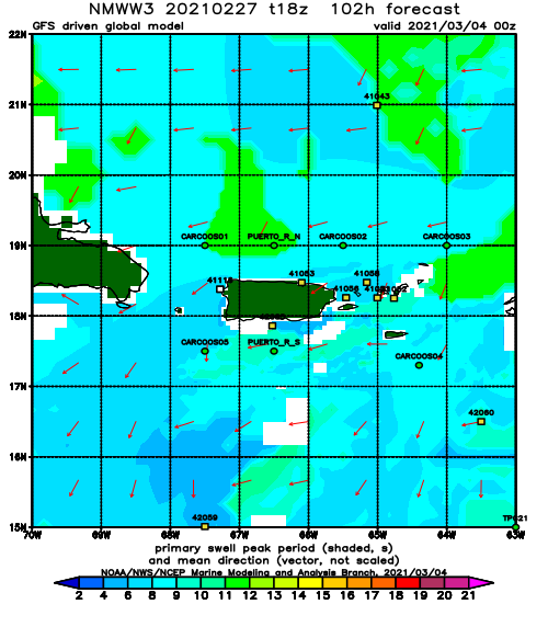
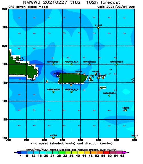
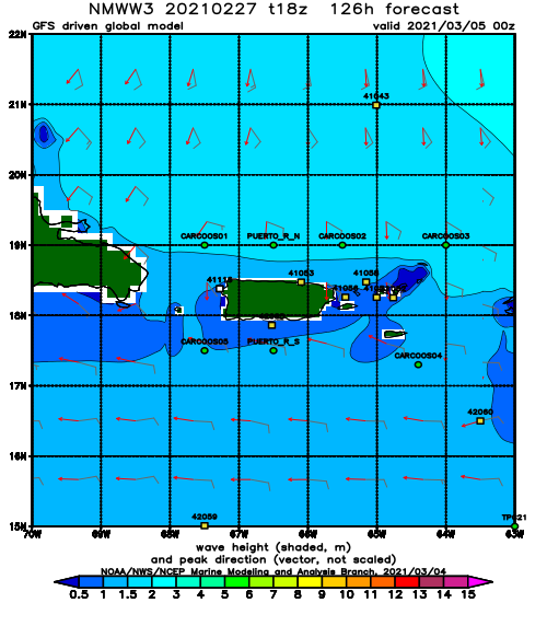
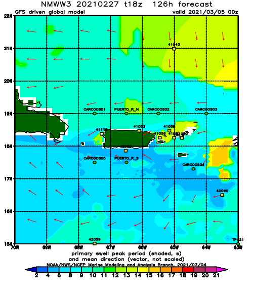
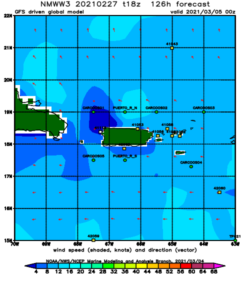
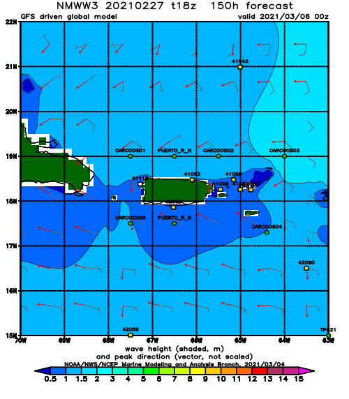
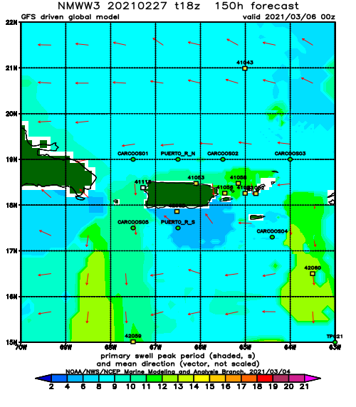
The next several days will be dominated by non-stop ENE winds and tiny wrap-around wind chop for Rincon. I imagine the north side of the island will be a huge terrible mess over the next few days probably seeing 2-4ft overhead size with extreme blown-out conditions. The right morning might have some just regular chop to semi-chop at times, but by the afternoon it will be VAS conditions.
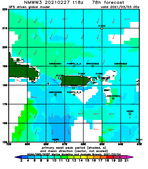
Now back to Rincon. We will have perfect surf lesson conditions for almost all of January. My January outlook is taking a terrible turn for the worse. We have one shot at some “good” days in Rincon during the month of January. That opportunity will come right smack dab in the middle of the month with the opportunity of getting some long period NE swell. Otherwise wind-fest will continue and all storms will pull off the states only to push massive swells at Europe. They will get nonstop surf over there. Every single storm is going to blow up and push all of it’s energy right at Europe. Rincon will only have the hope of NE backlash. I hope February has more opportunities for swell. I remember when we used to get at least one swell event a week this time of your (sometimes two). I miss those days. Looks like we’re down to one swell event per month (sometimes two).
Today
NOAA WaveWatch III Wave Model:
Forecast Swell Period:
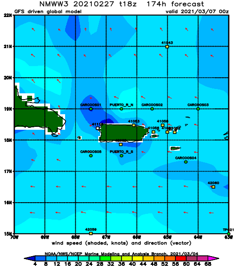
Forecast Winds:
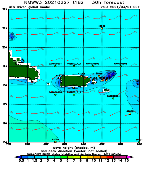
Sun
NOAA WaveWatch III Wave Model:
Forecast Swell Period:
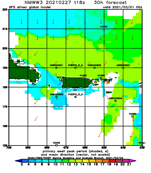
Forecast Winds:
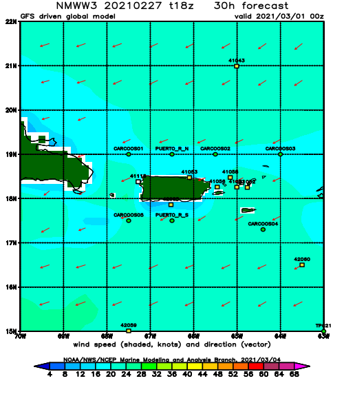
Mon
NOAA WaveWatch III Wave Model:
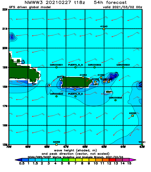
Forecast Swell Period:
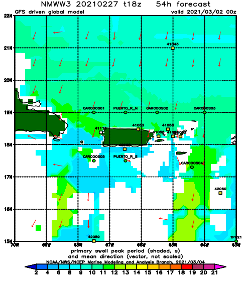
Forecast Winds:
Tue
NOAA WaveWatch III Wave Model:
Forecast Swell Period:
Forecast Winds:
Wed
NOAA WaveWatch III Wave Model:
Forecast Swell Period:
Forecast Winds:
Thu
NOAA WaveWatch III Wave Model:
Forecast Swell Period:
Forecast Winds:
Fri
NOAA WaveWatch III Wave Model:
Forecast Swell Period:
Forecast Winds:
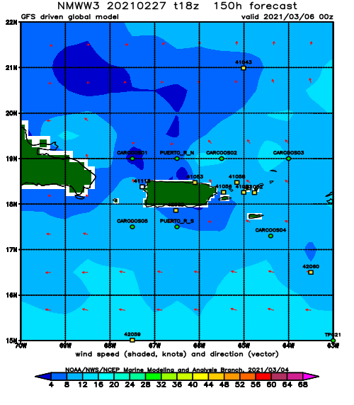
Sat
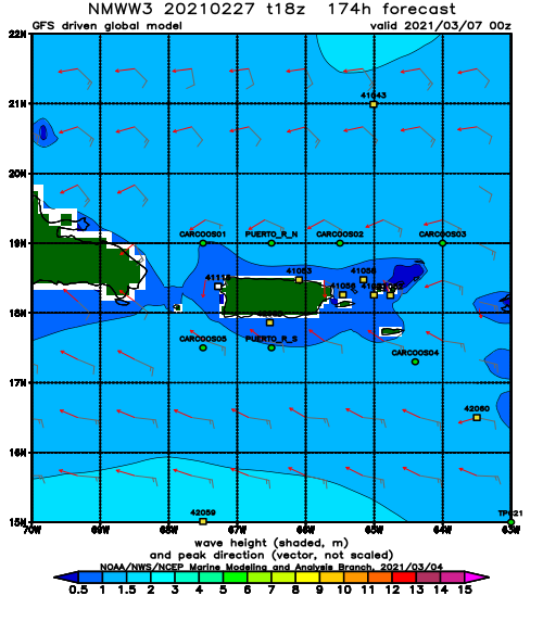
NOAA WaveWatch III Wave Model:
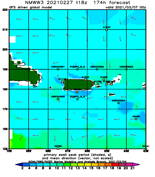
Forecast Swell Period:
Forecast Winds:
