Rincon Puerto Rico Surf Forecast – October 3, 2016
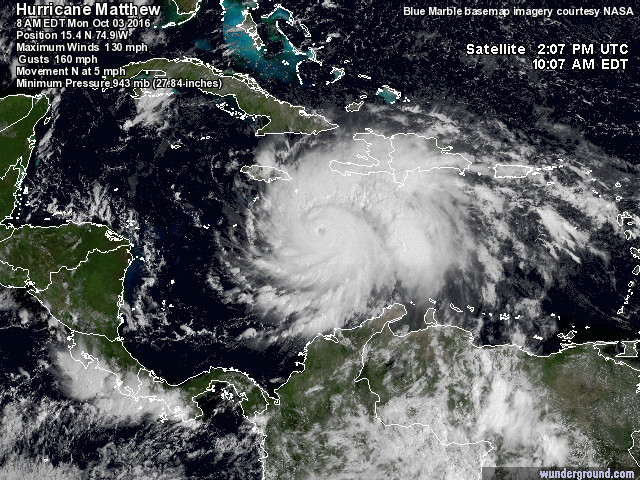
Hurricane Matthew, wow what a storm! More Surf?
This hurricane is for real! It’s not particularly common to have a storm maintain this much strength for such a long period of time. This storm is a beast. He’s forecast to remain a major hurricane for most of the week. This is good for surf. This is bad for Jamaica, Haiti, and Cuba. Though he is currently forecast to thread the needle up the channel in between Jamaica and Haiti, there’s no avoiding the extreme weather that comes with such a storm. Surf-wise, his trek heading up north will continue to push WSW swell up the Mona Passage at us and some very special spots on the south side of Puerto Rico should be firing. Once he passes cuba, some W to WNW swell should work its way to PR. Once he’s in Bahamas we should see some WNW to NW swell start to fill in. Once he’s off the coast of the Carolinas, we should see another push of NW swell. So far we’re looking to get a lot of surf from this storm.
Where did this little guy come from? 98L added to the mix for possible surf.
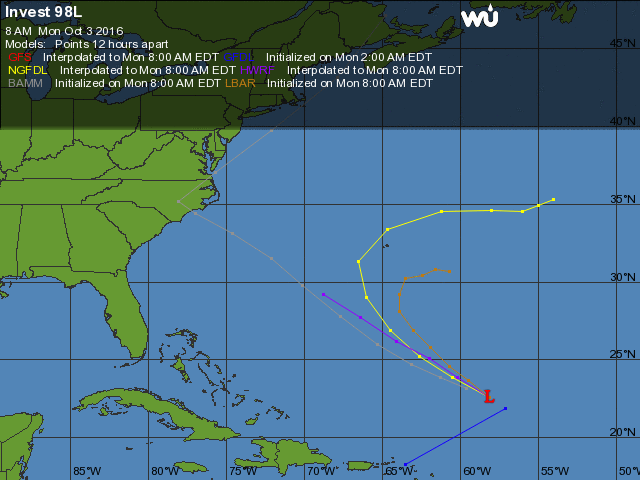
What this little weather system will actually do is extremely uncertain. However, with such calm winds to the north of us, this little guy could throw some ENE swell into the mix. He could also help give a double whammy of surf if he actually gets his act together a bit more and crosses the 65W boundary. There is a lot of heat in the ocean right now and not a lot of shear so anything is possible. So far, October is off to a great start for surfing Puerto Rico.
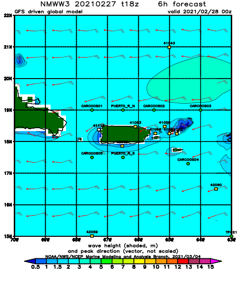
Today
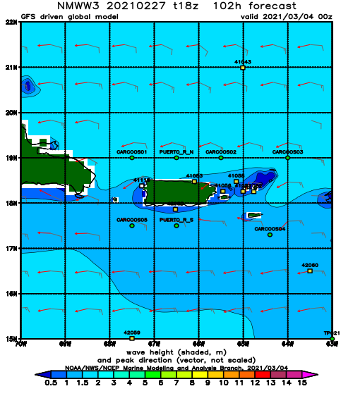
NOAA WaveWatch III Wave Model:
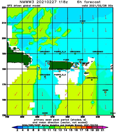
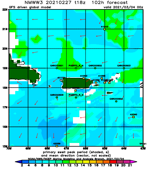
Forecast Swell Period:
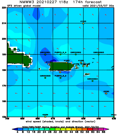
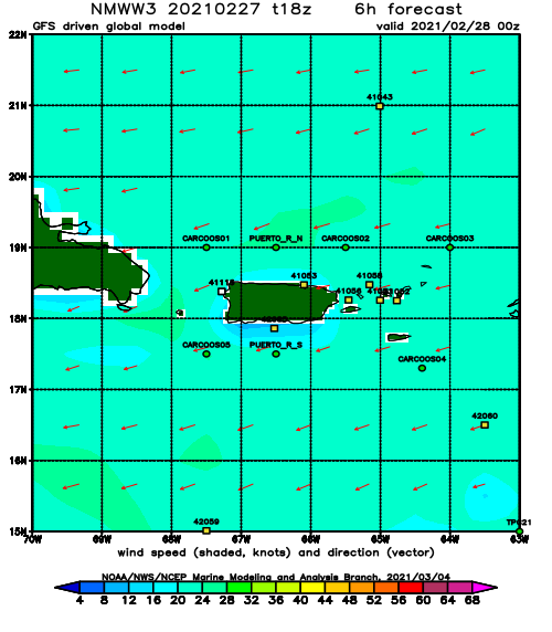
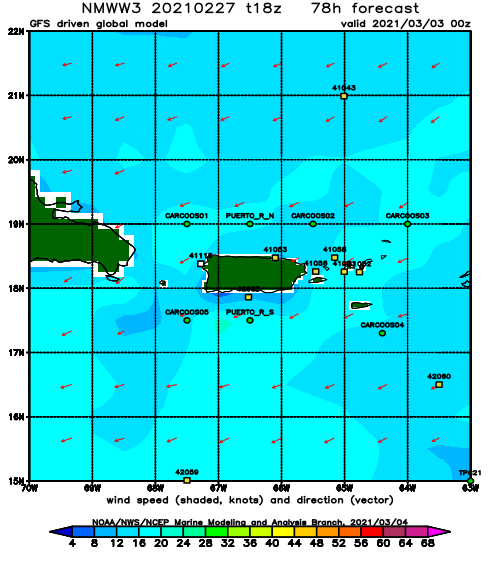
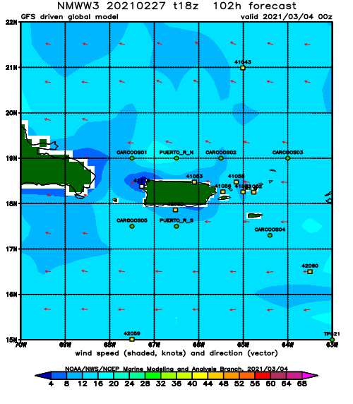
Forecast Winds:
Thu
NOAA WaveWatch III Wave Model:
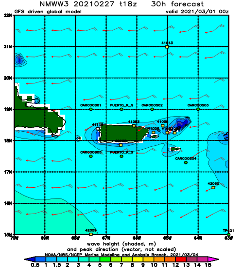
Forecast Swell Period:
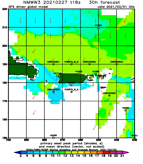
Forecast Winds:
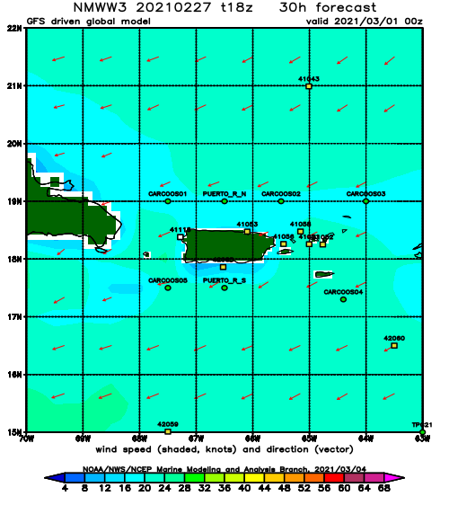
Fri
NOAA WaveWatch III Wave Model:
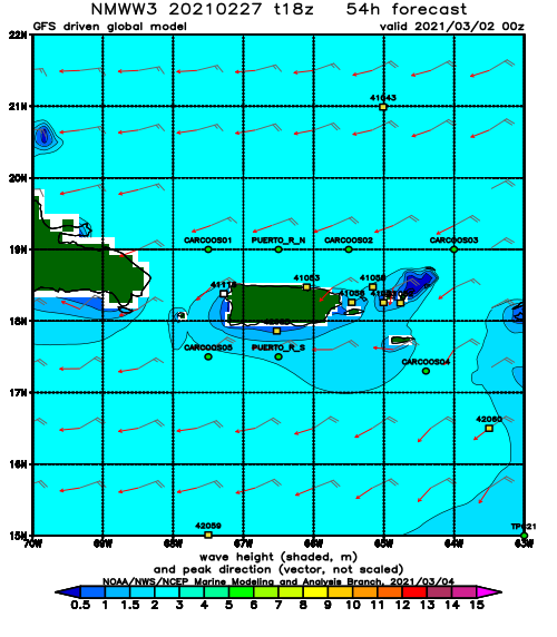
Forecast Swell Period:
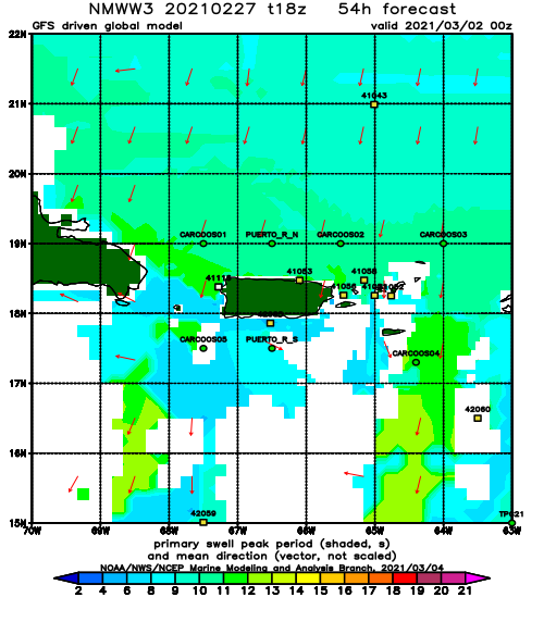
Forecast Winds:
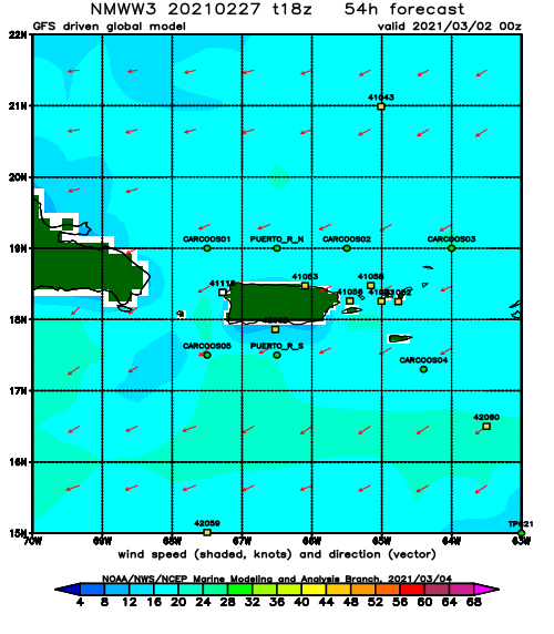
Sat
NOAA WaveWatch III Wave Model:
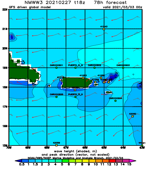
Forecast Swell Period:
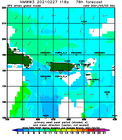
Forecast Winds:
Sun
NOAA WaveWatch III Wave Model:
Forecast Swell Period:
Forecast Winds:
Mon
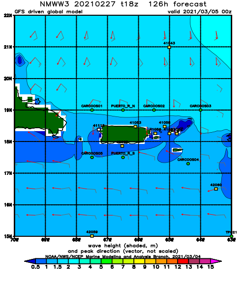
NOAA WaveWatch III Wave Model:
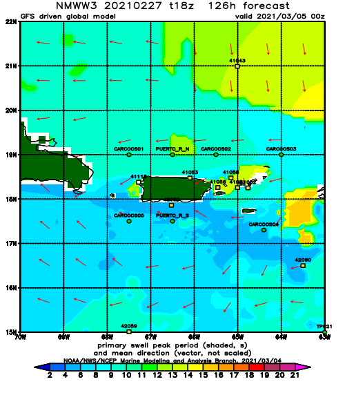
Forecast Swell Period:
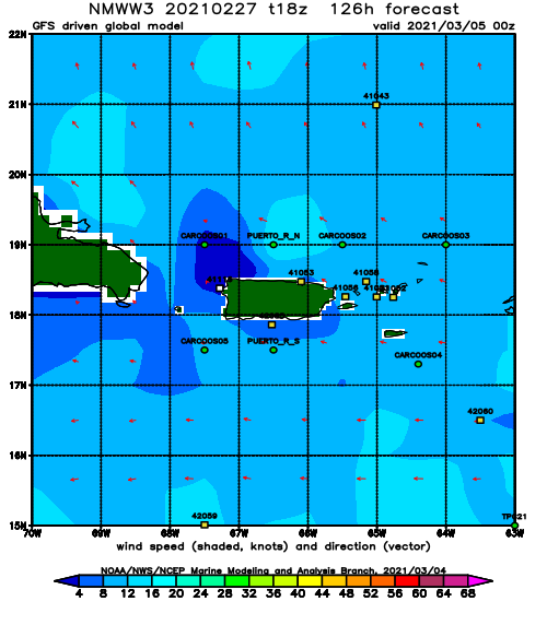
Forecast Winds:
Tue
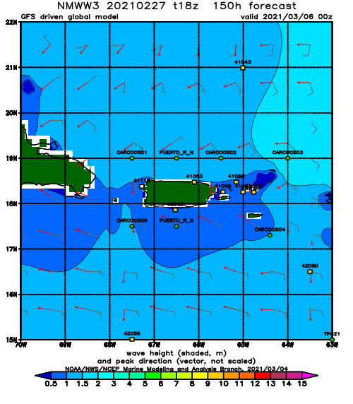
NOAA WaveWatch III Wave Model:
Forecast Swell Period:
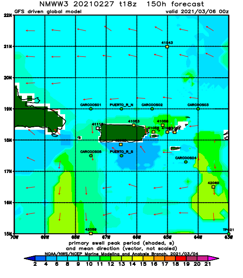
Forecast Winds:
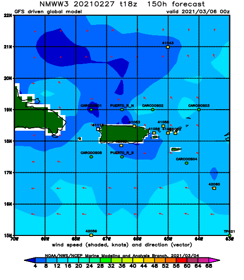
Wed
NOAA WaveWatch III Wave Model:
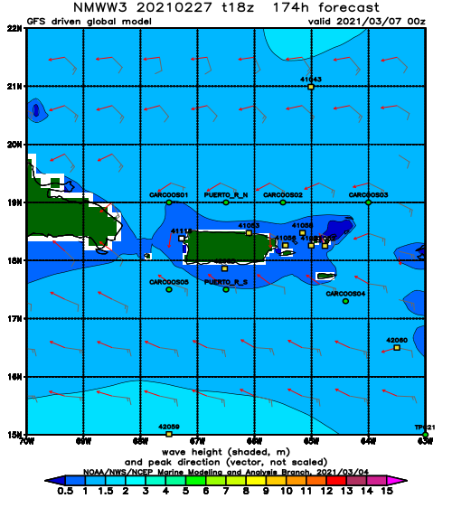
Forecast Swell Period:
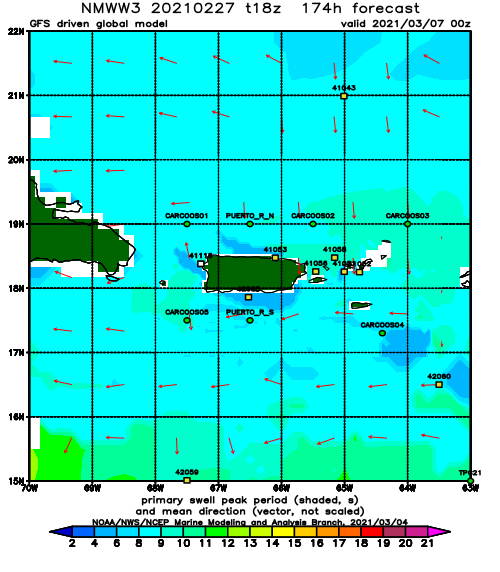
Forecast Winds:
