Rincon Puerto Rico Surf Forecast – Dec 22, 2015
A windy week ahead – hopefully some surf too!
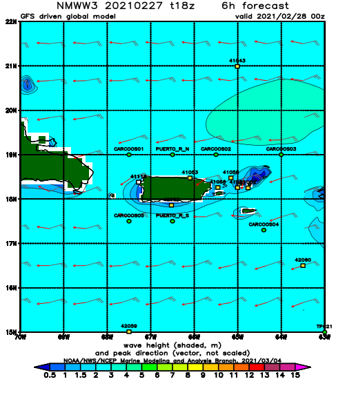
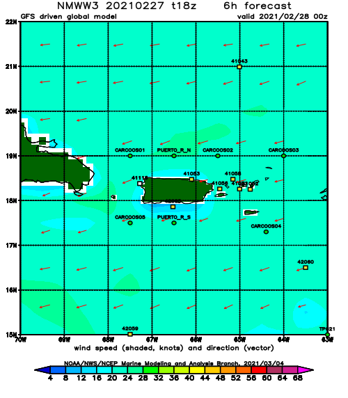
All of the models are calling for a lot of wind this week. Will swell be able to punch through? I really don’t know. None of the models called it correctly on this past weekend. We had waves, just not in the size that we had all hoped for. My forecast was off by a notch or two to the downside. Going into this coming week, I’m going to rely more on the satellite imagery instead of model runs and see what happens. So here we go…
What I see the surf doing this week in Rincon.
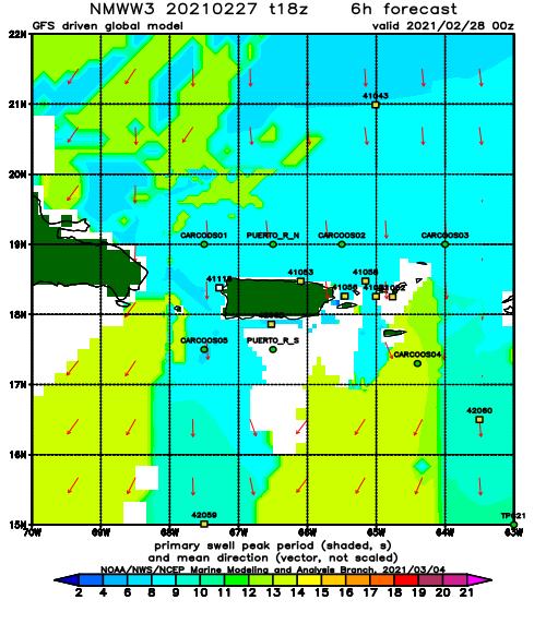
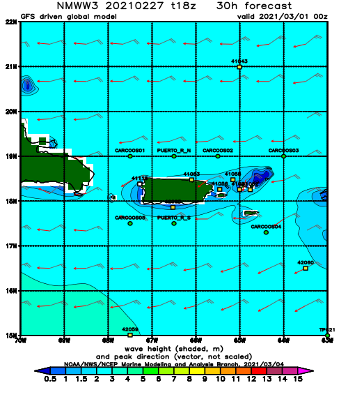
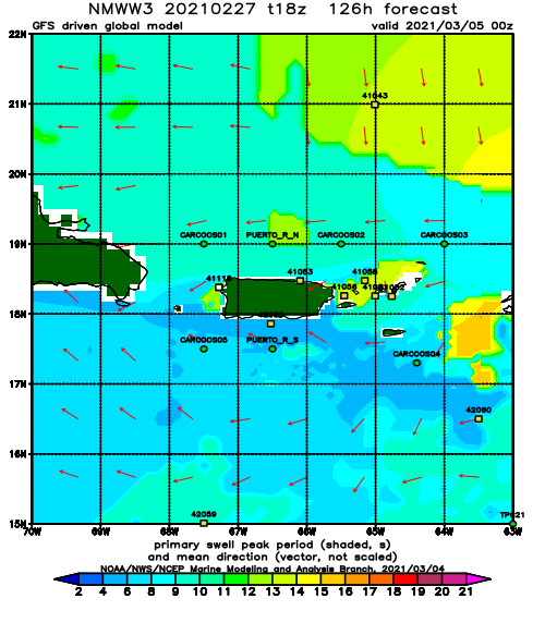
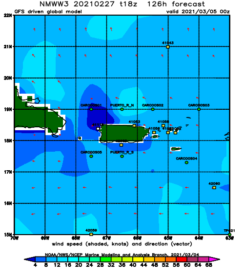
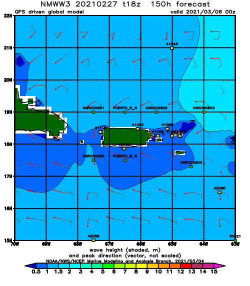
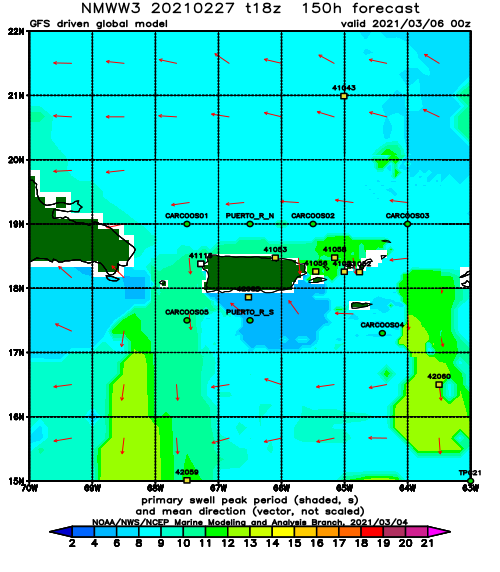
Tuesday’s bonus swell will fade out by the end of the day with maybe some waist to chest high leftovers at the most exposed breaks super early Wednesday morning going almost flat by the end of the day. The strong winds will make it hard for anything but wrap-around windswell to show up on the beaches, but there is supposed to be some longer period swell in the background. This might amount to super lully but rideable conditions for the rest of the week. The strong winds will limit the number surfable spots drastically. To me this seems like a recipe for frustration because you’ll see sets big enough to keep you in the water, but the amount of people will keep you from actually getting one. I might be wrong though and we might end up with glassy waist to chest high waves every day this week – this is of course the opposite of what I’m expecting to see.
How to beat the crowd:
Surf a less than ideal wave super early on the north side of Rincon, go up to the north side of the island super early, or just time it right and wait for everyone to get out of the water at the most popular breaks in Rincon.
What could change everything:
If the current cold front that is on the eastern coast of the US can pull out further than anticipated and not go up and over our swell window, everything will change. We’ll have a completely different forecast. I’ll keep an eye on the satellite loops and update as needed.
Today
NOAA WaveWatch III Wave Model:
Forecast Swell Period:
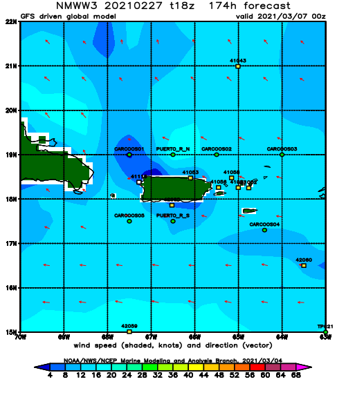
Forecast Winds:
Thu
NOAA WaveWatch III Wave Model:
Forecast Swell Period:
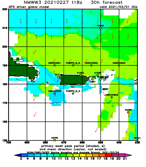
Forecast Winds:
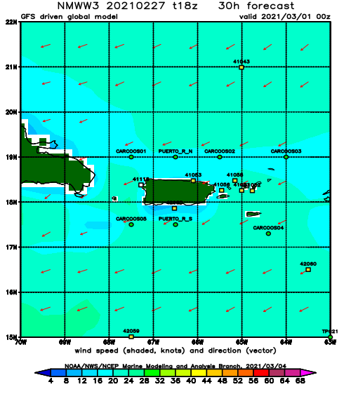
Fri
NOAA WaveWatch III Wave Model:
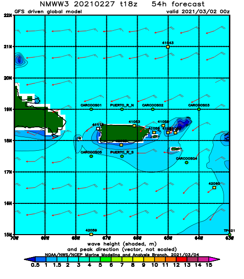
Forecast Swell Period:
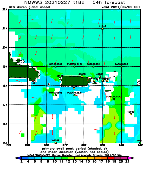
Forecast Winds:
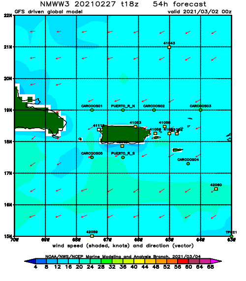
Sat
NOAA WaveWatch III Wave Model:
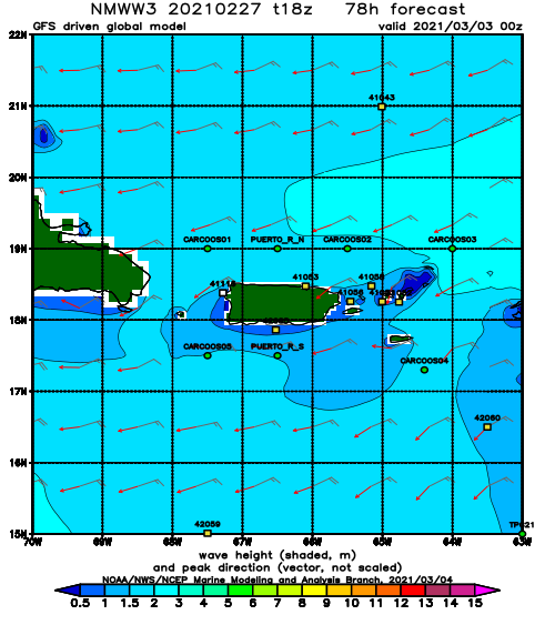
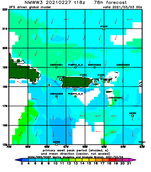
Forecast Swell Period:
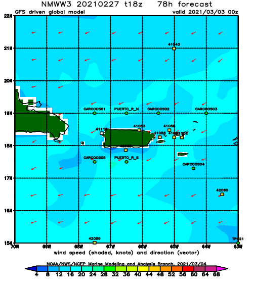
Forecast Winds:
Sun
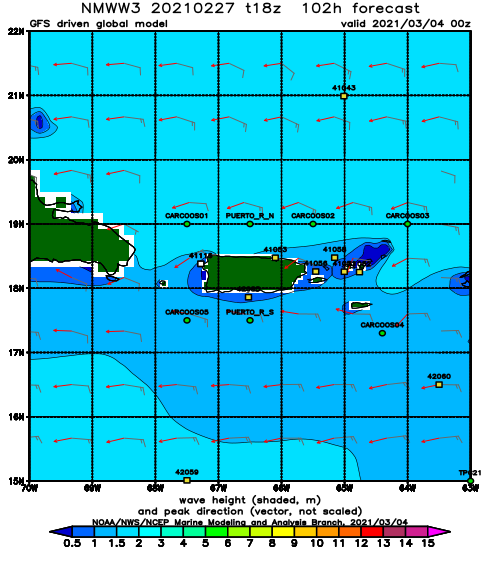
NOAA WaveWatch III Wave Model:
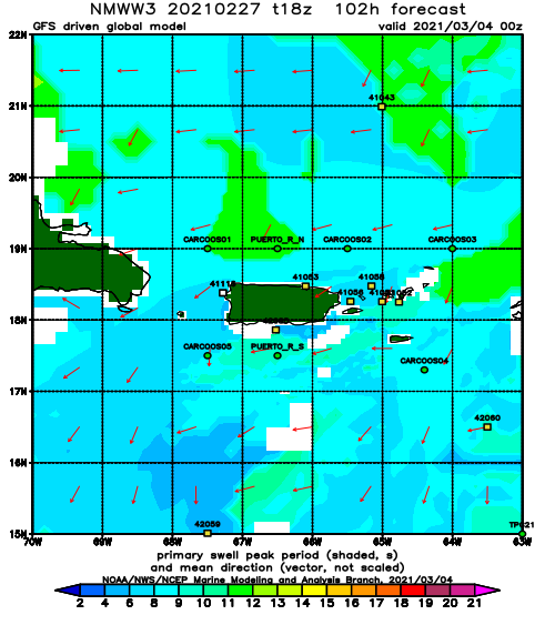
Forecast Swell Period:
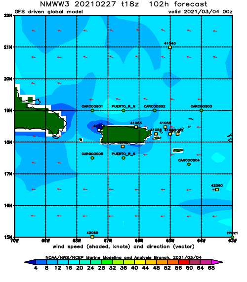
Forecast Winds:
Mon
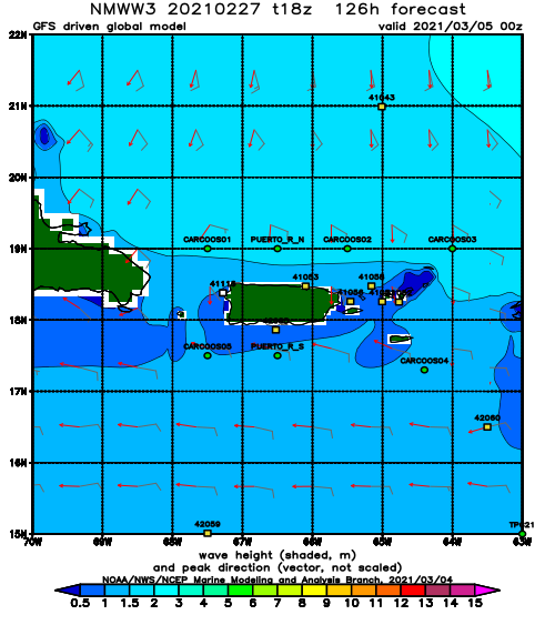
NOAA WaveWatch III Wave Model:
Forecast Swell Period:
Forecast Winds:
Tue
NOAA WaveWatch III Wave Model:
Forecast Swell Period:
Forecast Winds:
Wed
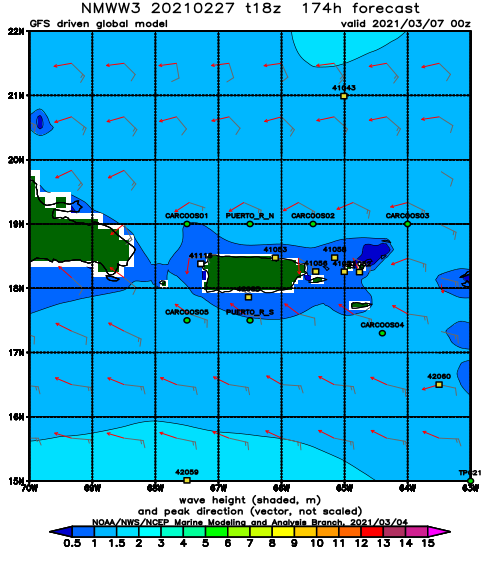
NOAA WaveWatch III Wave Model:
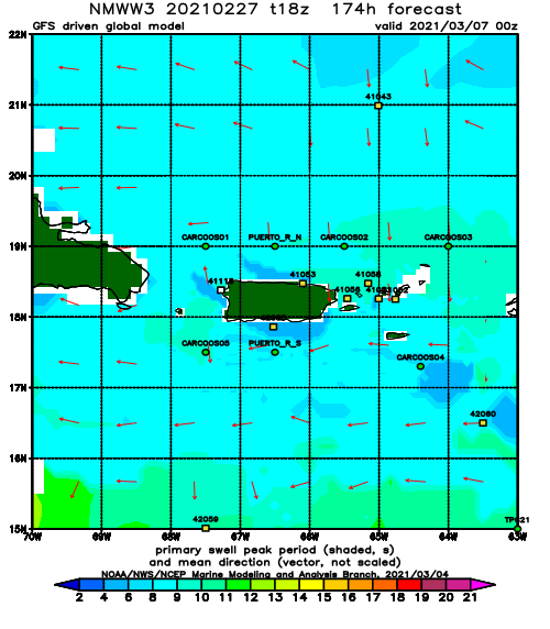
Forecast Swell Period:
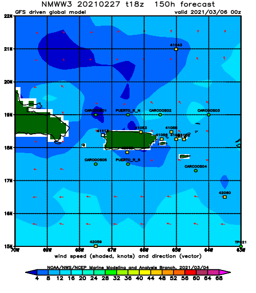
Forecast Winds:
