Rincon, Puerto Rico Surf Forecast – Dec 10, 2014
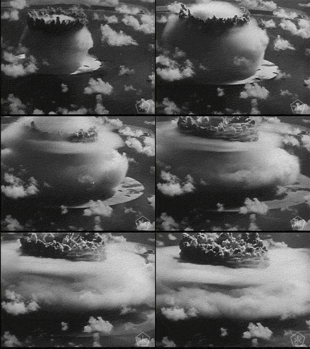
This past cold-front was like a bomb set off in the Atlantic… and there’s another one on the way.
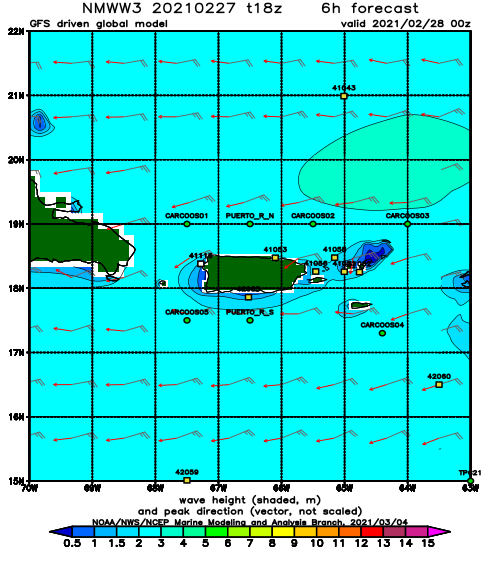
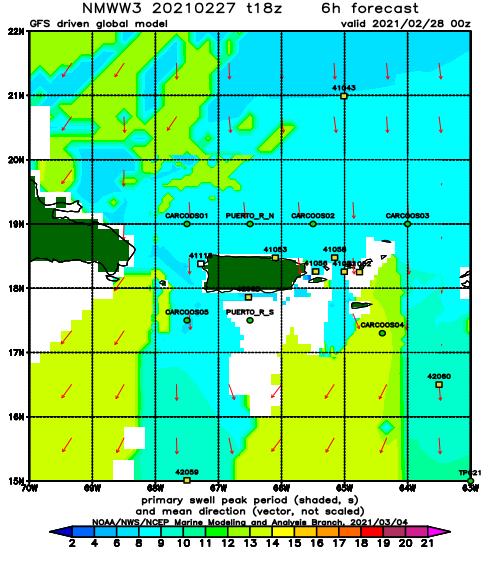
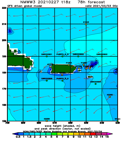
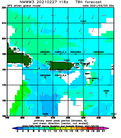
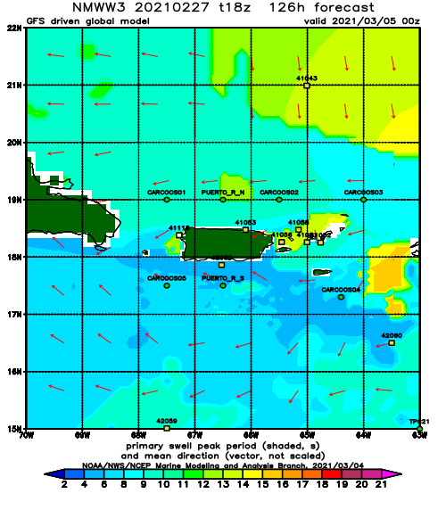
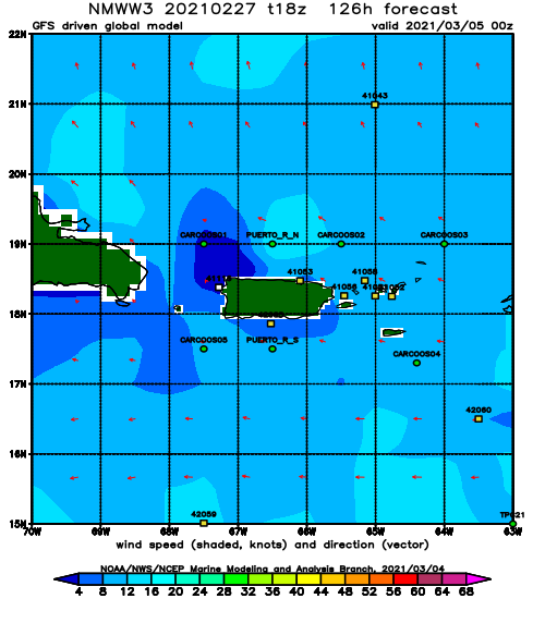
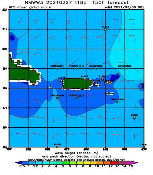
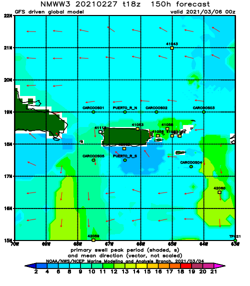
The buoys are lighting up with large long-period swell. The double overhead surf will probably continue tomorrow and then drop a notch down each day for the rest of the week into the weekend. Even though the angle will switch to a more ENE angle by the end of this swell event, the weekend could still remain in the waist to chest high range with clean conditions. I knew this month would rage! The 100% guarantee was that I would be out of town this entire time. I would have bet everything I own on there being waves this month while I was gone.
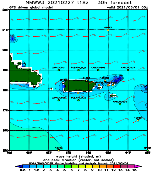
Beyond this swell event we will see small to flat conditions for a few days (ironically around the time I get back in town). However, around the 18th the models are going berserk with what could be a run of swell that could last into the new year. We might see some of the biggest swell of the season. I’m stoked to see what happens!
Today
NOAA WaveWatch III Wave Model:
Forecast Swell Period:
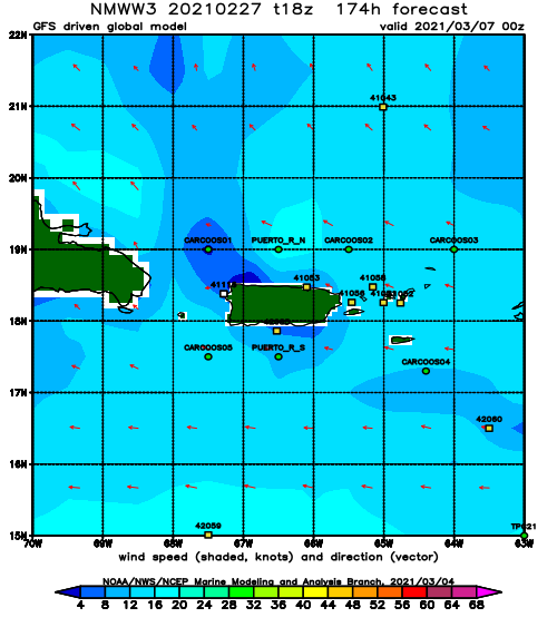
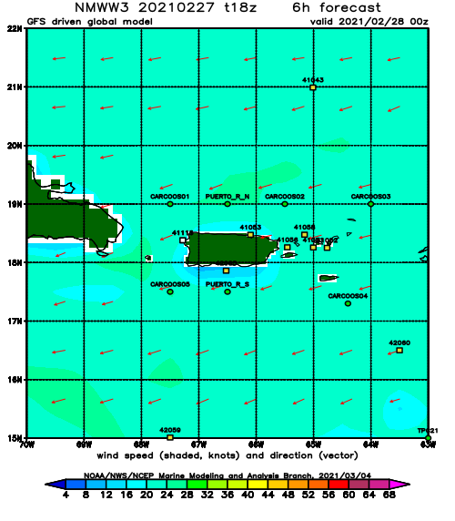
Forecast Winds:
Sat
NOAA WaveWatch III Wave Model:
Forecast Swell Period:
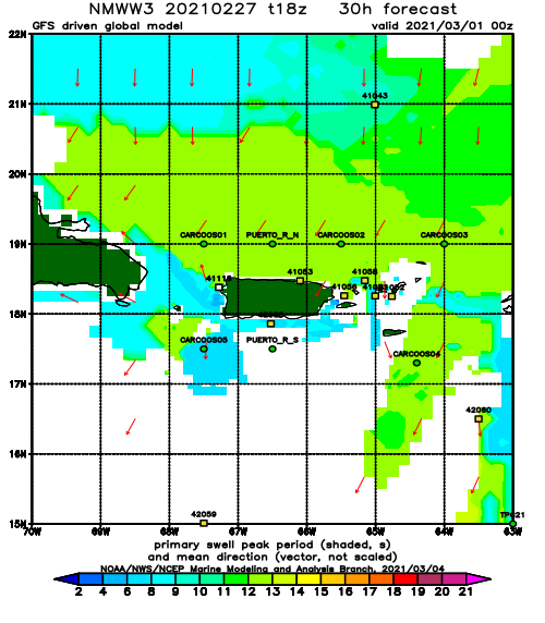
Forecast Winds:
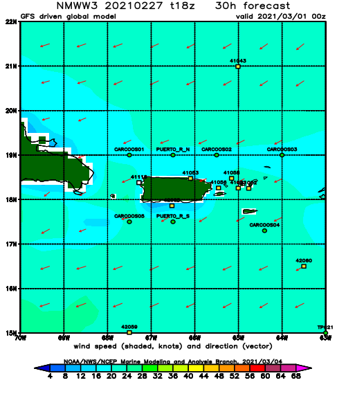
Sun
NOAA WaveWatch III Wave Model:
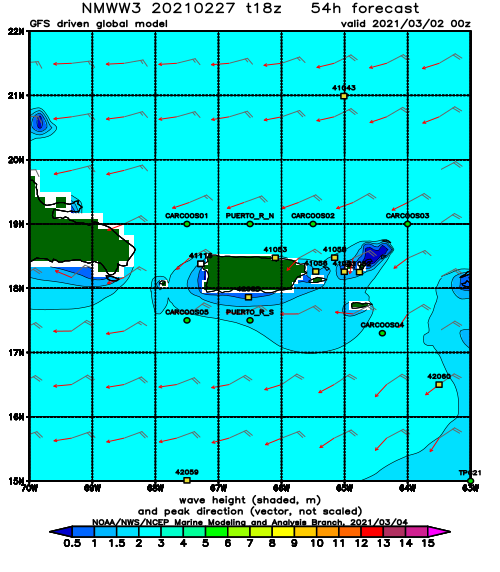
Forecast Swell Period:
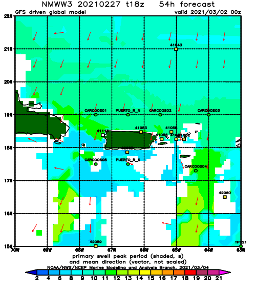
Forecast Winds:
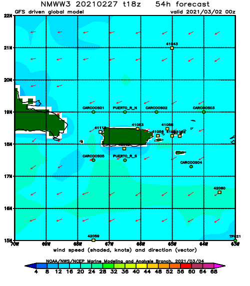
Mon
NOAA WaveWatch III Wave Model:
Forecast Swell Period:
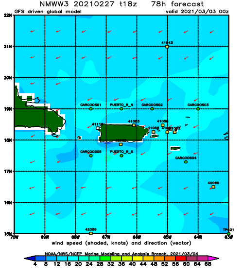
Forecast Winds:
Tue
NOAA WaveWatch III Wave Model:
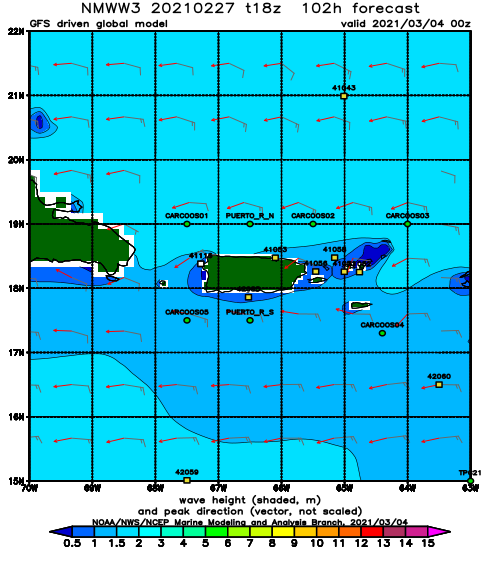
Forecast Swell Period:
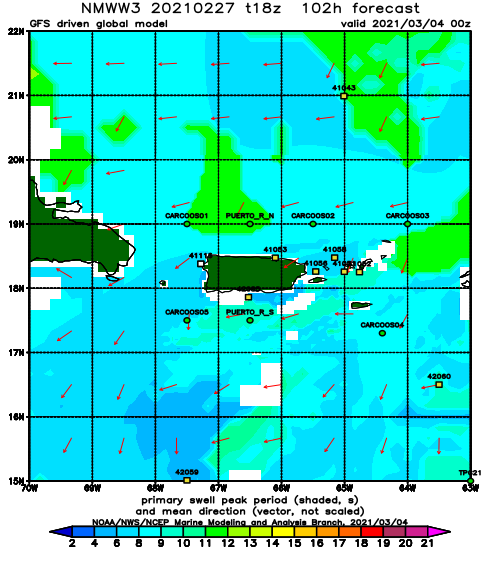
Forecast Winds:
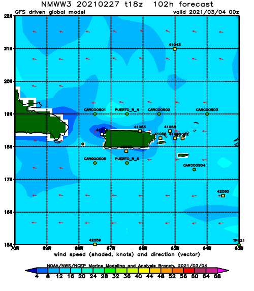
Wed
NOAA WaveWatch III Wave Model:
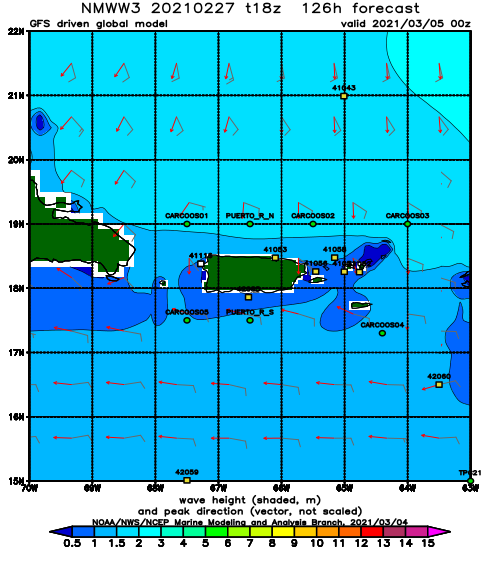
Forecast Swell Period:
Forecast Winds:
Thu
NOAA WaveWatch III Wave Model:
Forecast Swell Period:
Forecast Winds:
Fri
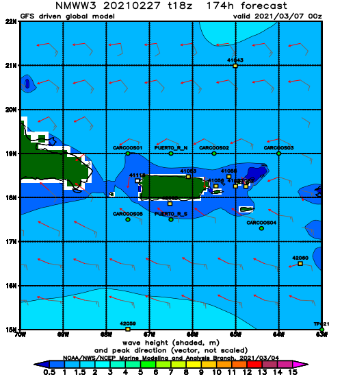
NOAA WaveWatch III Wave Model:
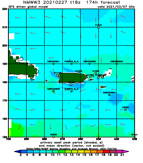
Forecast Swell Period:
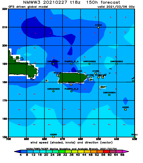
Forecast Winds:
