Rincon, Puerto Rico Surf Forecast – Feb 10, 2015

One of the biggest swells of the season is on it’s way!
We got a solid dip in the jetstream and a big front pulled off the states. Back in the day before we had all the modern weather tools that we have now, old-schoolers down here knew a big swell was coming when the winds turned south in the winter or spring for a day. If it blew south for two days, even bigger. By the time it gets here we will have had 2-3 days of south winds ahead of this storm. It’s because it’s going deep! As I’ve been watching the satellite loops I can hardly believe my eyes. This is the real deal here folks. This swell is going to be big! The models have dropped a bit on their initial swell height, but trust me, the weather creating the swell is going to make some big waves. Time to wax up the gun and charge Tres Palmas!
The breakdown:
Wednesday: Small to flat conditions with hard south winds. Maybe a little waist high wave will poke through at north facing beaches. The north side of the island and Isabela area should have glassy chest to head high waves. NW swells tend to come in early so it is possible that Rincon could see some chest to head high surf before sundown.
Thursday: The day should start off with head high to 2ft overhead conditions and winds out of the NE. By the end of the day we will have waves in the double overhead and bigger range with hard ENE winds.
Friday: Possibly, the biggest day of the swell. Double to Triple Overhead conditions with light winds in the morning. Few spots can handle this amount of swell. The period will be in the 13-15 second range and the angle will be NNW. Every tucked away nook and cranny will have more reasonable waves. Tres Palmas should be raging for those who charge. Several barrel spots that require a lot of swell should be all time.
Saturday: The swell drops a little and the angle changes more north. This day will still be big and probably have waves in the 2-4ft overhead range with some double overhead sets left in the ocean. The winds remain light ENE this day.
Sunday: Another NW pulse starts to show up and keep the waves 2-4ft overhead with a decent period. The winds are supposed to be fairly light from the NE on this day.
Monday: Round 2 of massive swell. This day might be even bigger than Friday with Double to Triple overhead conditions but hard NE winds around 15 to 20 mph. The angle is NW and the period is in the 16-19 second range when the swell first hits.
Tuesday: Big surf continues. Surf in the 2-4ft overhead range with double overhead sets and hard NE winds. Find wind blockage and tucked away spots.
WARNING:
This swell is no joke. Have respect for the ocean and know your limitations. If you have the skill and have been training for big wave surfing then you should be able to have some amazing rides out there and charge. However, if you cannot hold your breathe for extended periods of time, haven’t been training, or have limited experience in surfing big waves then you have no business being at the big wave spots. You can die. For real. The currents will be strong just about everywhere, even the non-surfing beaches. Use caution and keep an eye on the kiddies.
Today
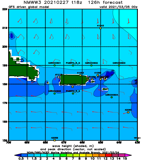
NOAA WaveWatch III Wave Model:
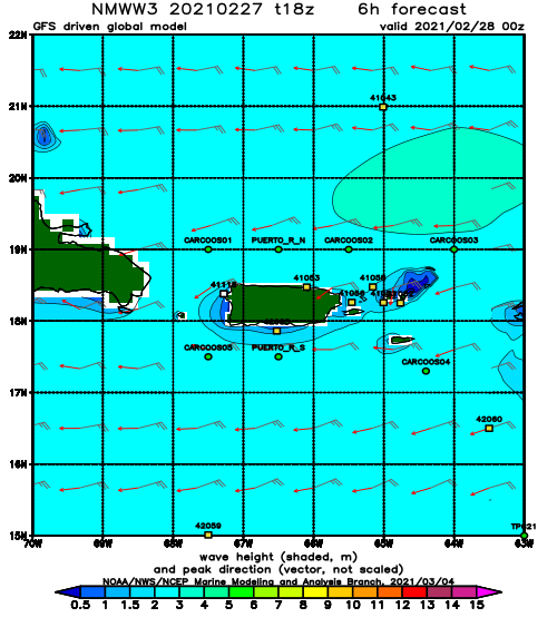
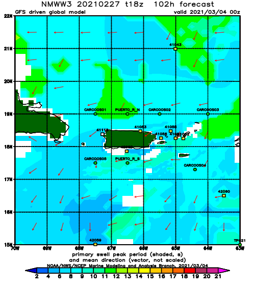
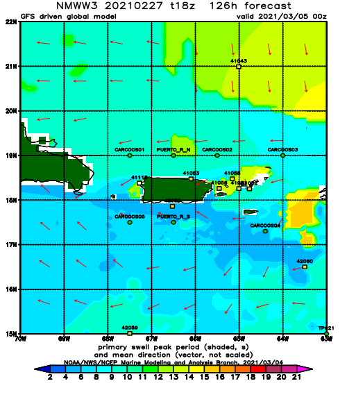
Forecast Swell Period:
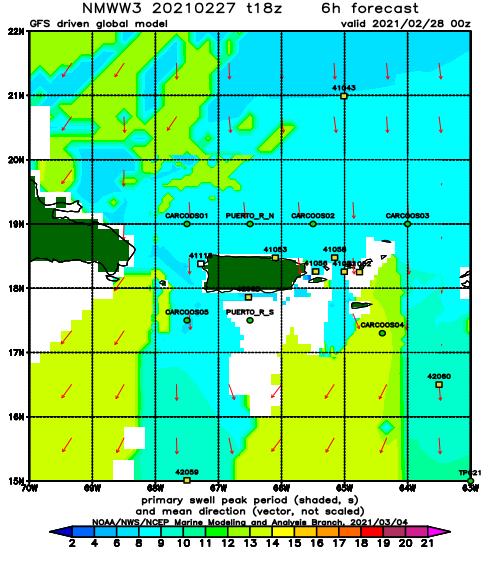
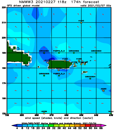
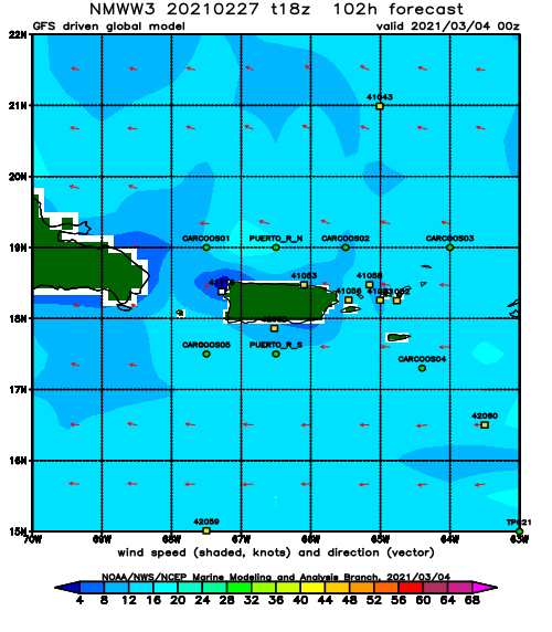
Forecast Winds:
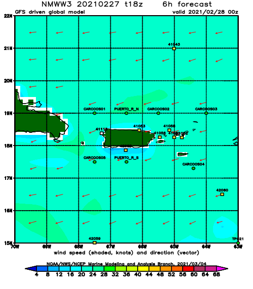
Sat
NOAA WaveWatch III Wave Model:
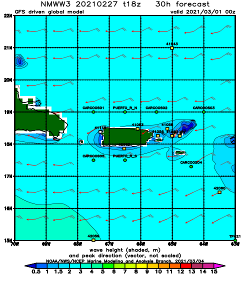
Forecast Swell Period:
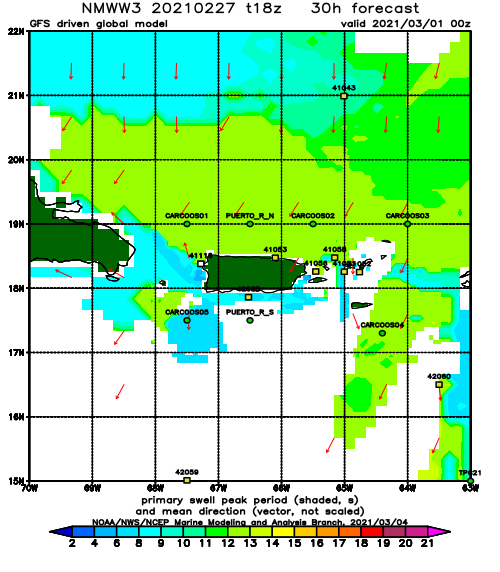
Forecast Winds:
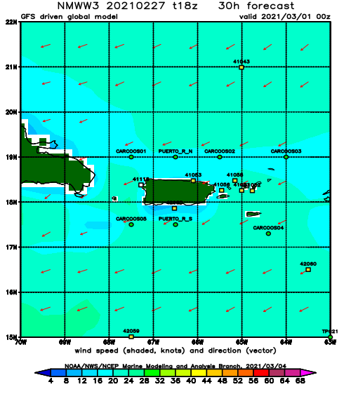
Sun
NOAA WaveWatch III Wave Model:
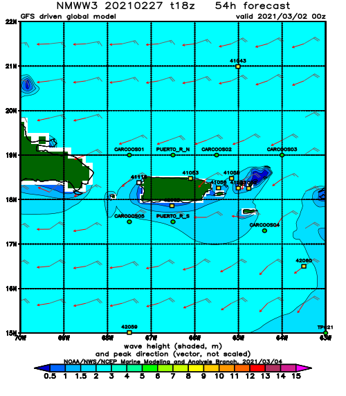
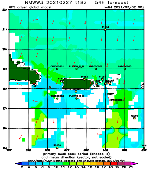
Forecast Swell Period:
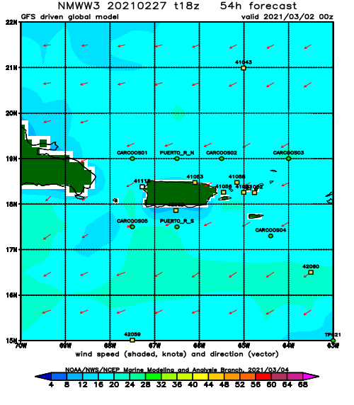
Forecast Winds:
Mon
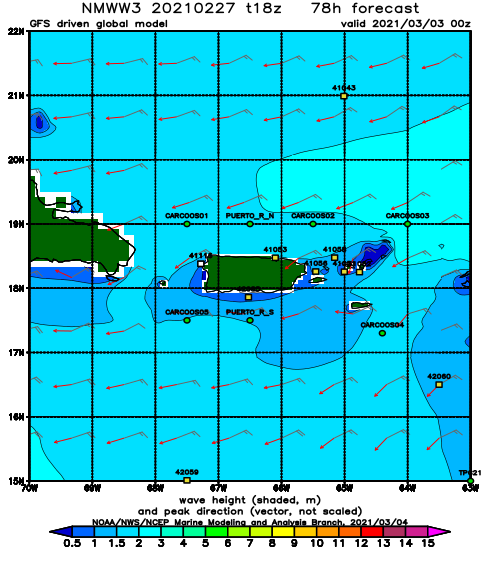
NOAA WaveWatch III Wave Model:
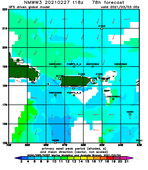
Forecast Swell Period:
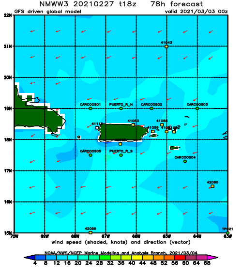
Forecast Winds:
Tue
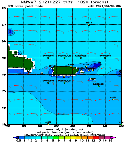
NOAA WaveWatch III Wave Model:
Forecast Swell Period:
Forecast Winds:
Wed
NOAA WaveWatch III Wave Model:
Forecast Swell Period:
Forecast Winds:
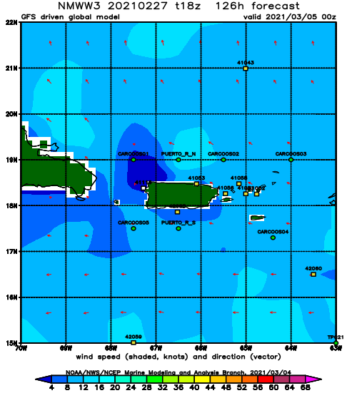
Thu
NOAA WaveWatch III Wave Model:
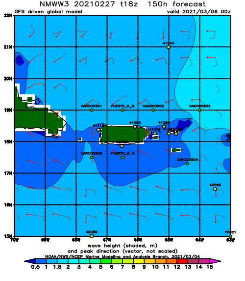
Forecast Swell Period:
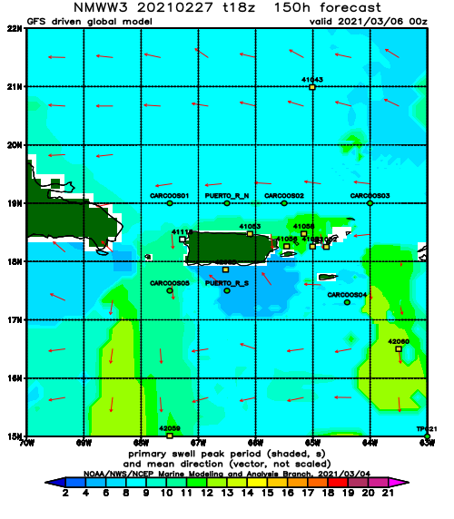
Forecast Winds:
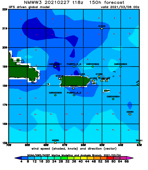
Fri
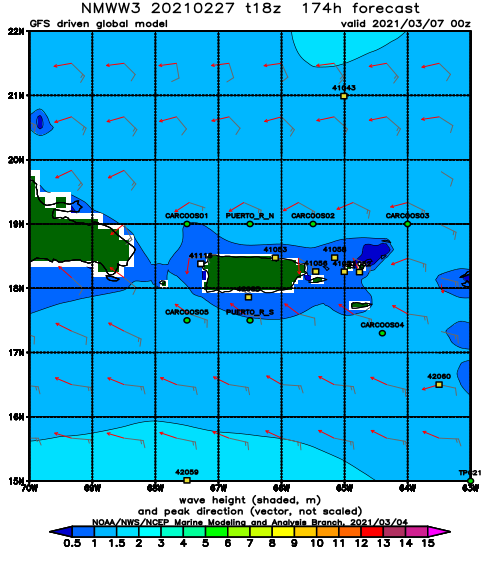
NOAA WaveWatch III Wave Model:
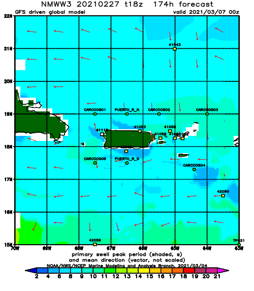
Forecast Swell Period:
Forecast Winds:
