Rincon, Puerto Rico Surf Forecast – Feb 9, 2017
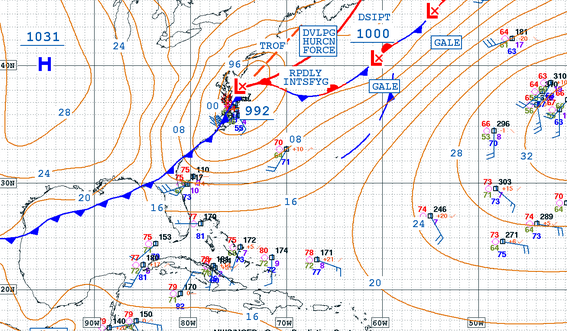
Lower cold front ready to make some surf for Rincon, Puerto Rico!
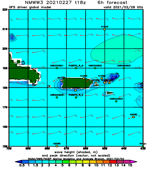
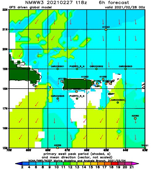
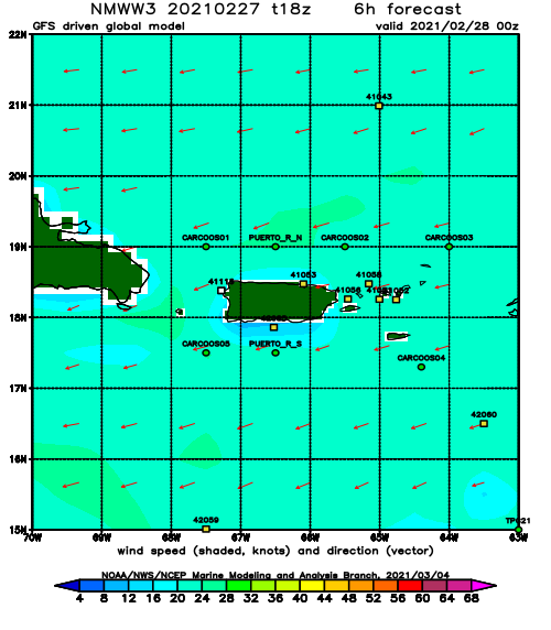
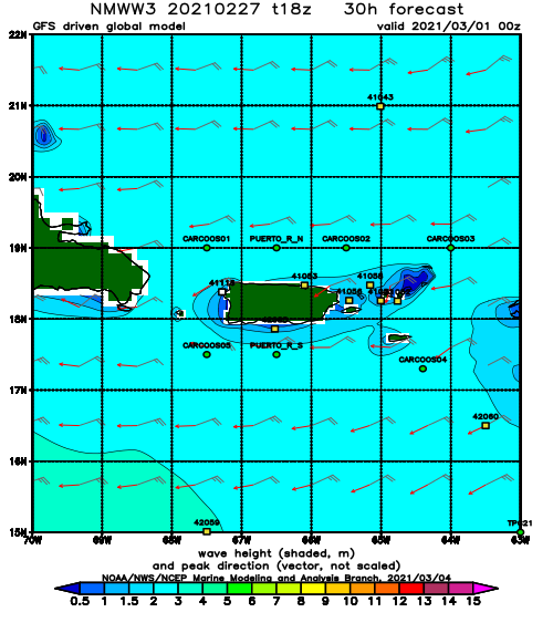
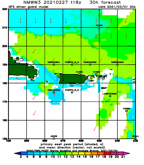
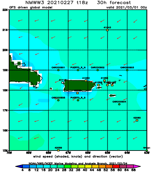
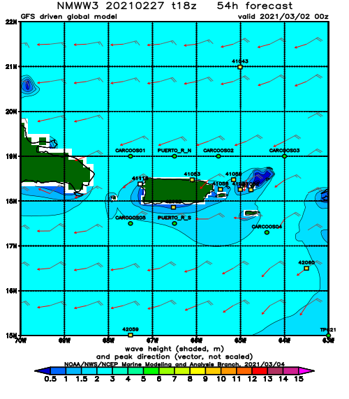
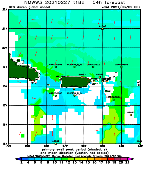
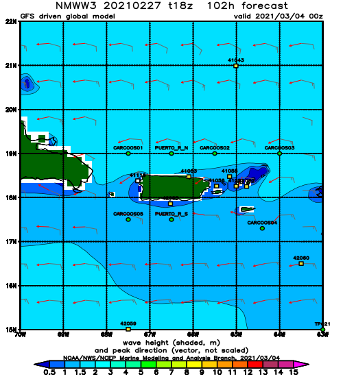
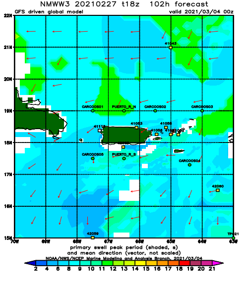
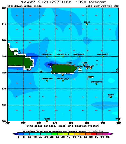
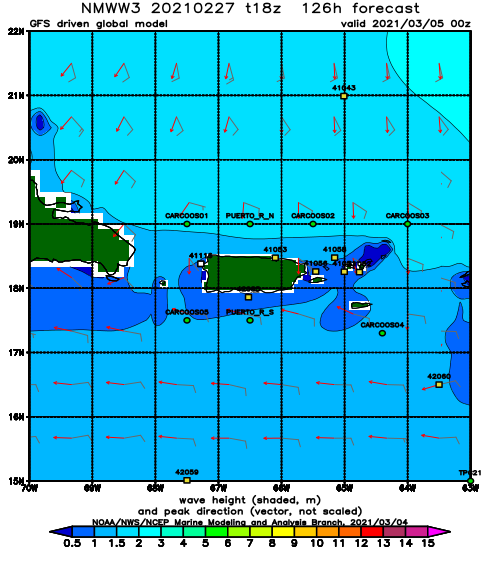
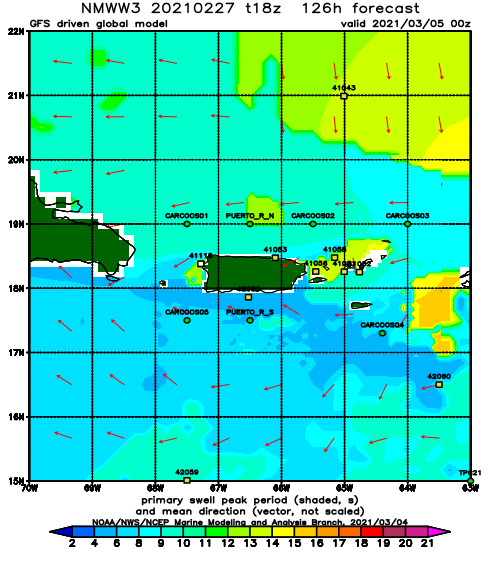
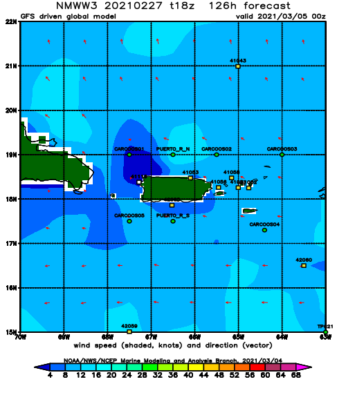
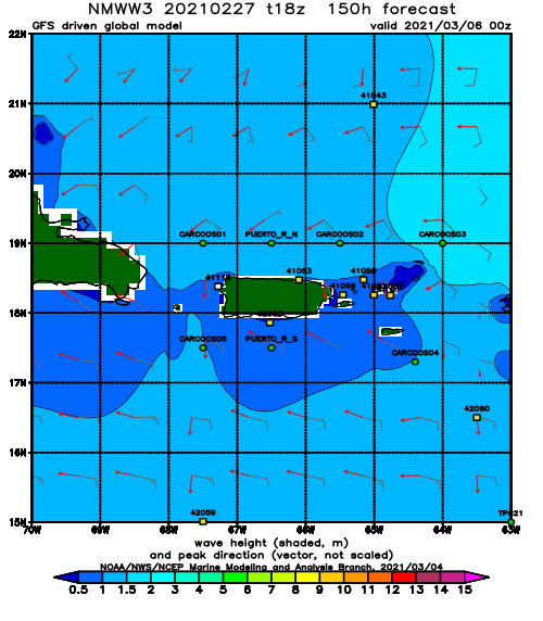
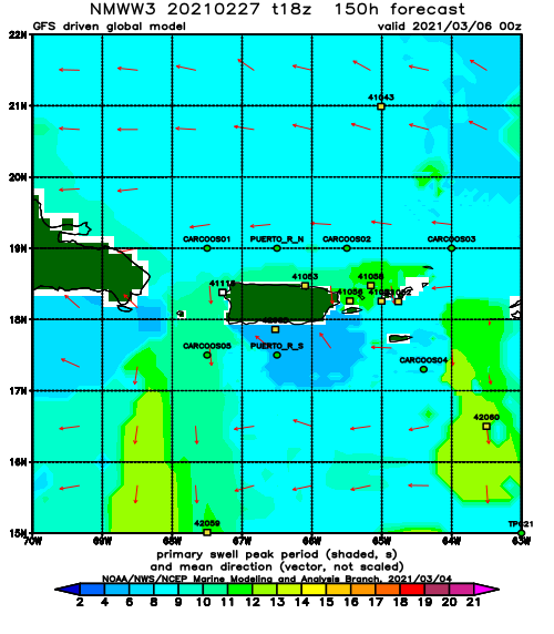
I told ya so! Though a day or so earlier than I forecast in the previous update, we have our lower latitude storm. This thing is looking good and it’s not alone. We could very well see another storm like this again within another week or so. For now we will focus on the current storm system. I like what I’m seeing so far from the current storm. We could see the initial pulse as early as Saturday and the bulk of it on Sunday and Monday. We could easily see some double overhead sets on Sunday/Monday especially since the swell is forecast to have a NNW angle. After that we might see a bit of a drop over early next week to waist to chest and smaller. By mid-week into late weekend should see a longer period round two of swell if the second storm can stay on track. In the far reaches of the forecast, another storm might pull off the states and follow a very similar path with perhaps a more northward guidance than the current system and keep us all surfing through the rest of the month. February always tends to be the best month of the season.
Today
NOAA WaveWatch III Wave Model:
Forecast Swell Period:
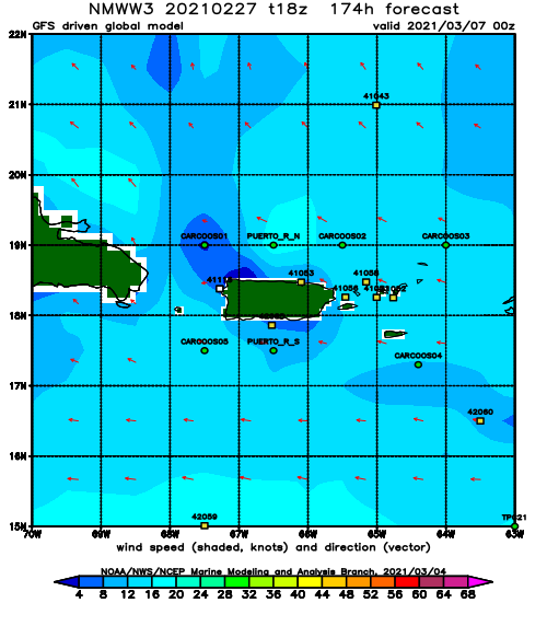
Forecast Winds:
Sun
NOAA WaveWatch III Wave Model:
Forecast Swell Period:
Forecast Winds:
Mon
NOAA WaveWatch III Wave Model:
Forecast Swell Period:
Forecast Winds:
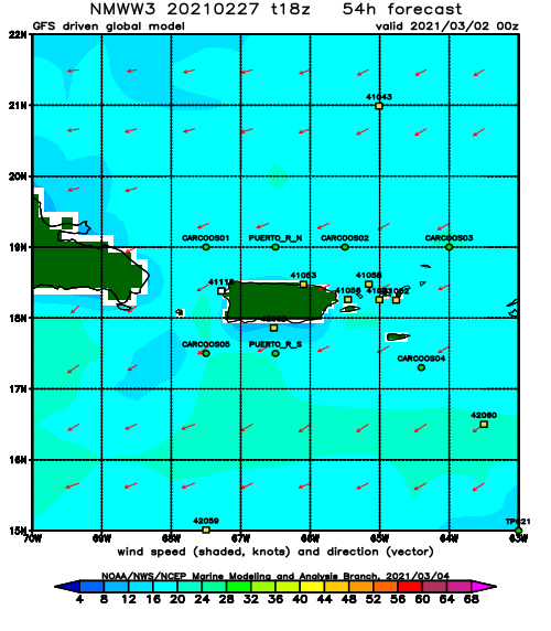
Tue
NOAA WaveWatch III Wave Model:
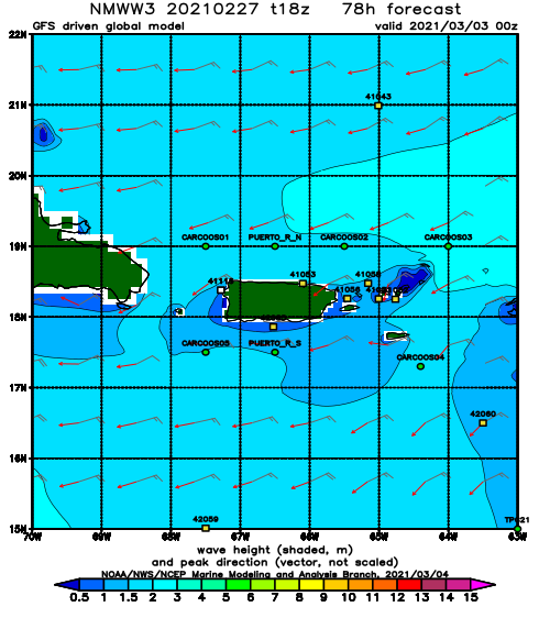
Forecast Swell Period:
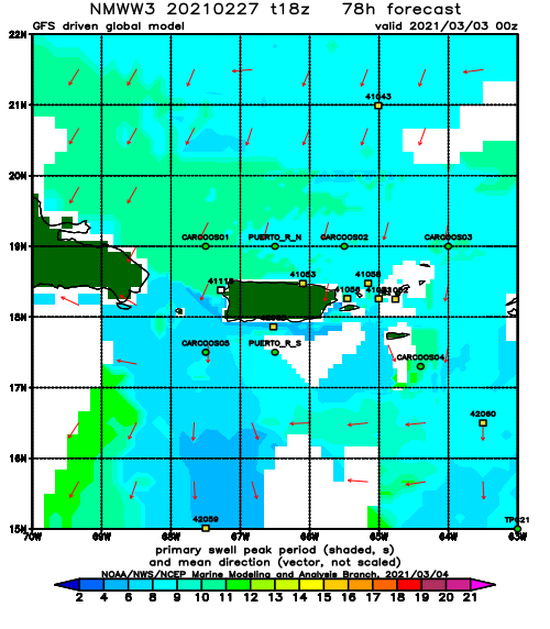
Forecast Winds:
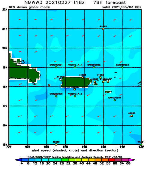
Wed
NOAA WaveWatch III Wave Model:
Forecast Swell Period:
Forecast Winds:
Thu
NOAA WaveWatch III Wave Model:
Forecast Swell Period:
Forecast Winds:
Fri
NOAA WaveWatch III Wave Model:
Forecast Swell Period:
Forecast Winds:
Sat
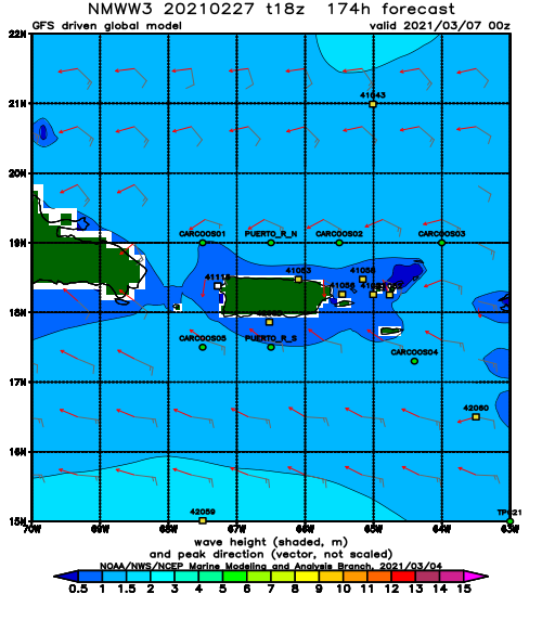
NOAA WaveWatch III Wave Model:
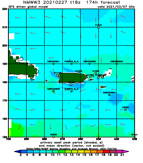
Forecast Swell Period:
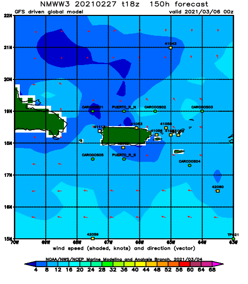
Forecast Winds:
