Rincon Puerto Rico Surf Forecast – Jan 16, 2016
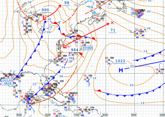
We finally have a winter weather pattern – more surf on the way!
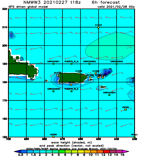
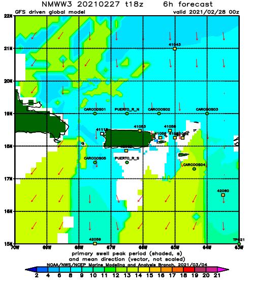
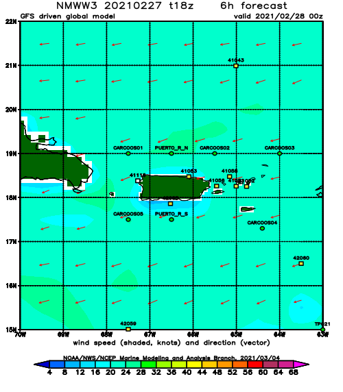
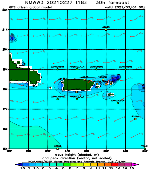
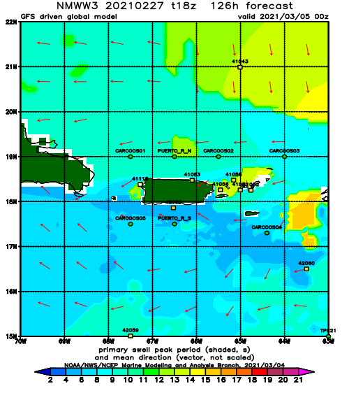
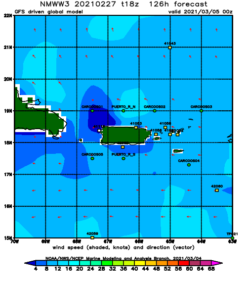
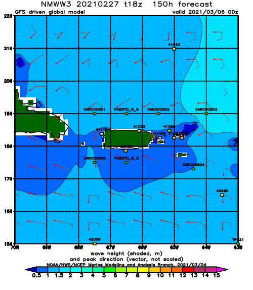
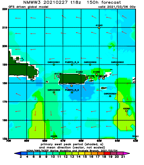
While nothing huge is on the radar at the moment, we should see a steady flow of chest high surf over the next week or so. I like this change in the weather pattern. Hot and flat during prime season was no fun. Now the temps are cooling, the water temp is perfect, and we have waves every day! The swell showing up on the buoys isn’t quite matching what the models are calling for which leads me to believe that many days could be slightly better than anticipated. Have fun!
Today
NOAA WaveWatch III Wave Model:
Forecast Swell Period:
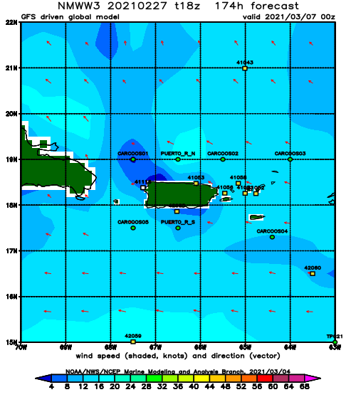
Forecast Winds:
Sat
NOAA WaveWatch III Wave Model:
Forecast Swell Period:
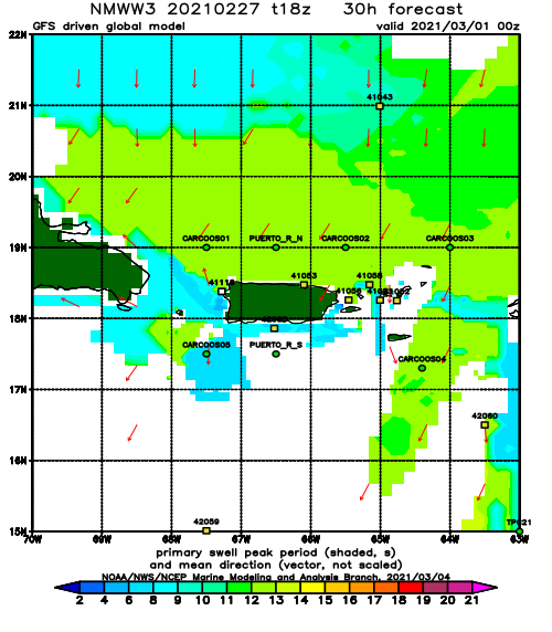
Forecast Winds:
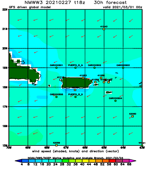
Sun
NOAA WaveWatch III Wave Model:
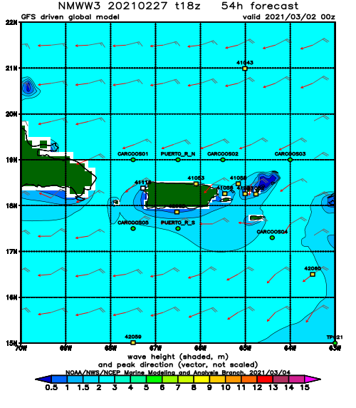
Forecast Swell Period:
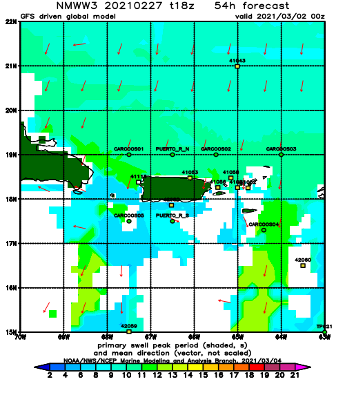
Forecast Winds:
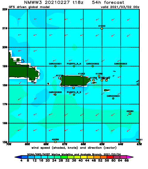
Mon
NOAA WaveWatch III Wave Model:
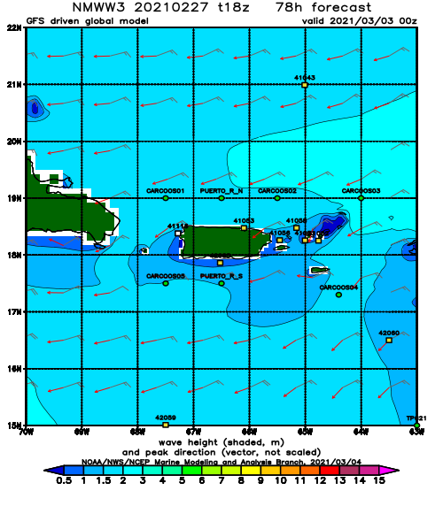
Forecast Swell Period:
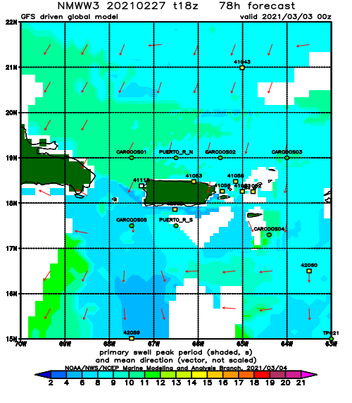
Forecast Winds:
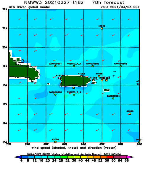
Tue
NOAA WaveWatch III Wave Model:
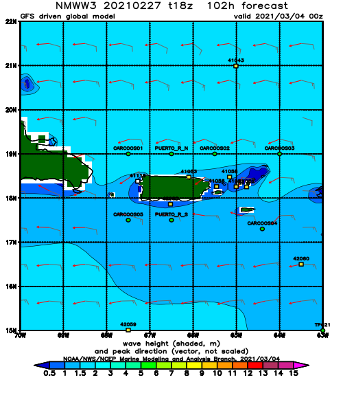
Forecast Swell Period:
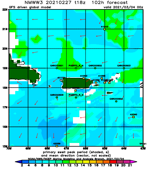
Forecast Winds:
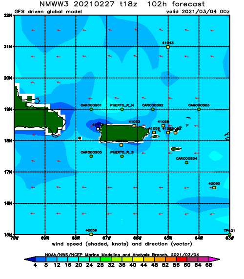
Wed
NOAA WaveWatch III Wave Model:
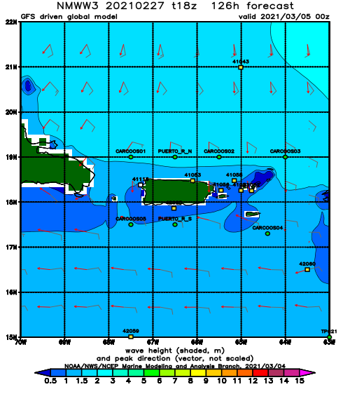
Forecast Swell Period:
Forecast Winds:
Thu
NOAA WaveWatch III Wave Model:
Forecast Swell Period:
Forecast Winds:
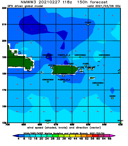
Fri
NOAA WaveWatch III Wave Model:
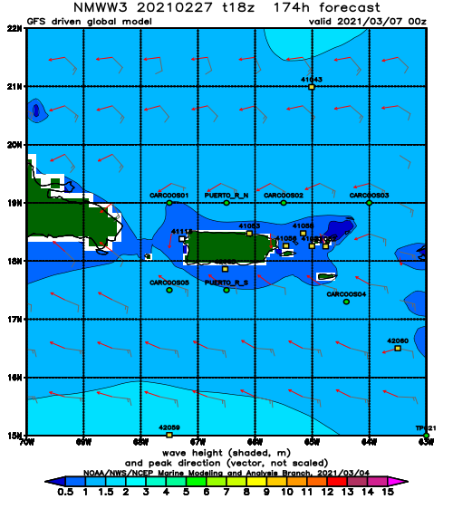
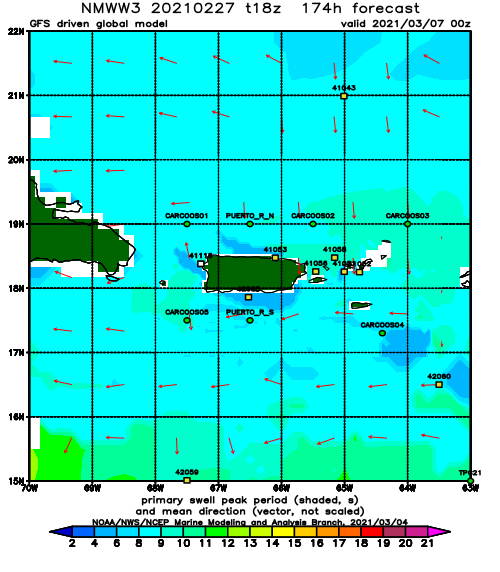
Forecast Swell Period:
Forecast Winds:
