Rincon, Puerto Rico Surf Forecast – July 14, 2015
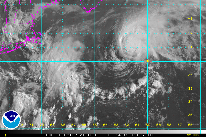
Tropical Storm Claudette forms – no major surf expected.
Tropical Storm Claudette is actually looking decent on satellite imagery, but she just doesn’t have the right trajectory or amount of strength to be a significant surf generator. If she was dipping down or intensifying or both then we could see a better chance at some tropical swell. Unfortunately, she’s doing the opposite of that. She’s moving away from us (as she has since formation) and is going to weaken. We still might see some background swell at some point over the next couple of days, but don’t expect too much.
Keep an eye on different parts of the island.
There are tropical waves passing the lower Atlantic and Caribbean. They have no chance whatsoever of forming down there, but they do have the ability to make fun waves at certain unique spots on the island. The southeast corner of PR has plenty of opportunities. If a wave is strong enough pressure-wise the north side of the island can see some fun surf as well. Now is the time to explore.
When does a higher latitude storm give Rincon waves?
When it’s very strong and has a solid high pressure build in behind it to amplify it’s backside fetch. We need a long fetch pointed at us to get surf no matter what force of nature is causing it. Also, if we do get a larger high latitude storm and it happens to make a wobble south or dip down we almost always get some good swell. Rapid intensification is also good for groundswell. When a storm sits kinda stationary in our swell wind and then rapidly intensifies it sets a bomb off in the ocean. Anything Category 3 and above in our swell window will generally give us good surf. These are the scenarios to watch for. I hope we see it happen this season.
Today
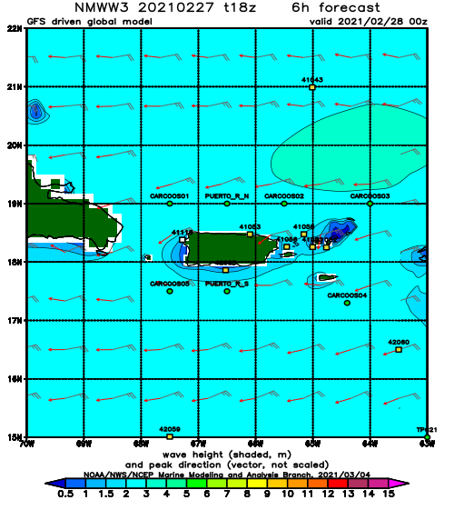
NOAA WaveWatch III Wave Model:
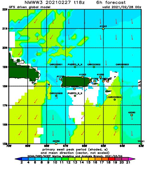
Forecast Swell Period:
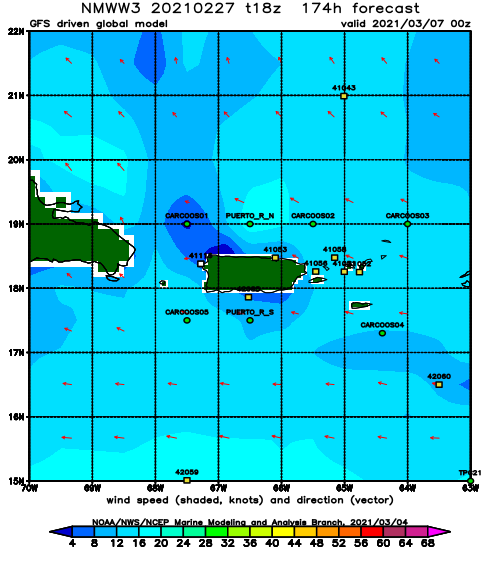
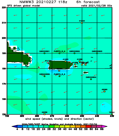
Forecast Winds:
Sat
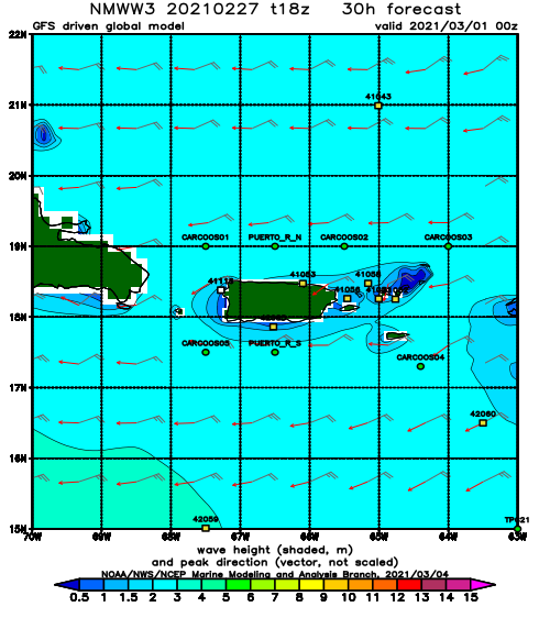
NOAA WaveWatch III Wave Model:
Forecast Swell Period:
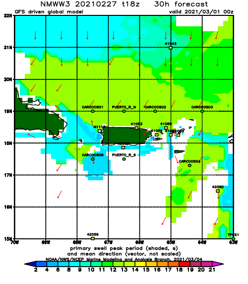
Forecast Winds:
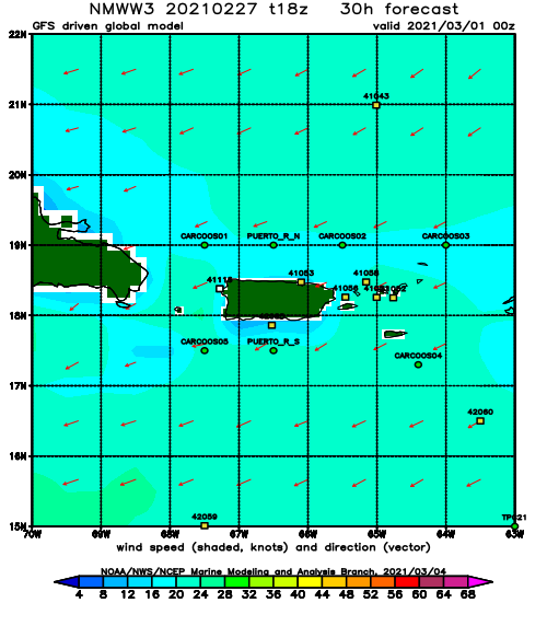
Sun
NOAA WaveWatch III Wave Model:
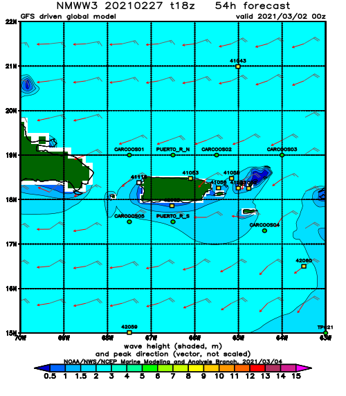
Forecast Swell Period:
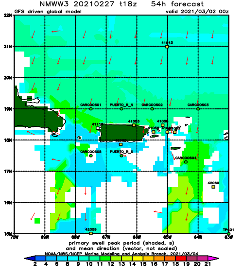
Forecast Winds:
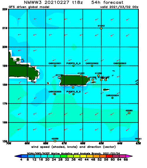
Mon
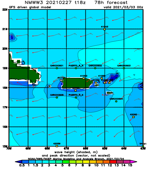
NOAA WaveWatch III Wave Model:
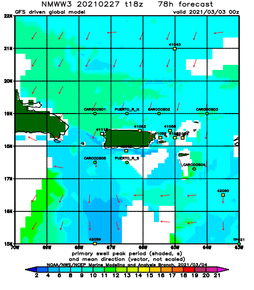
Forecast Swell Period:
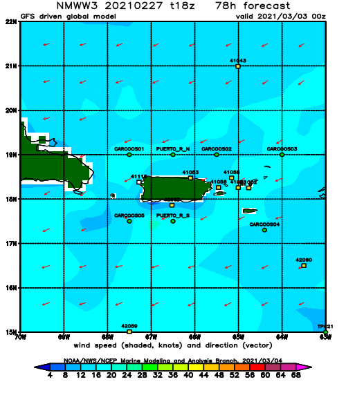
Forecast Winds:
Tue
NOAA WaveWatch III Wave Model:
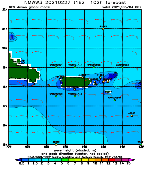
Forecast Swell Period:
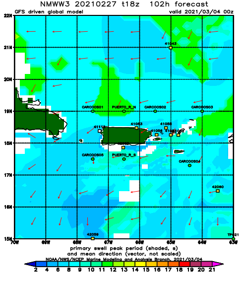
Forecast Winds:
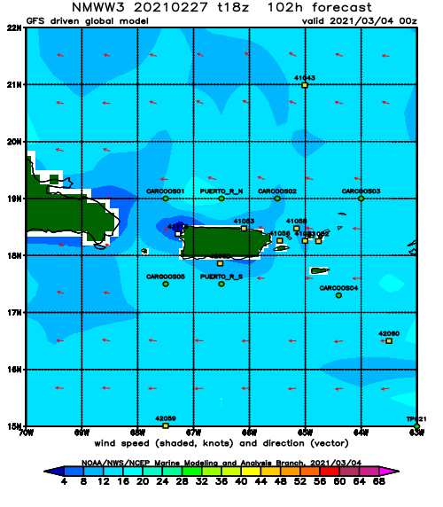
Wed
NOAA WaveWatch III Wave Model:
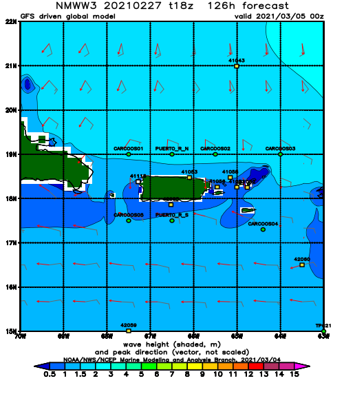
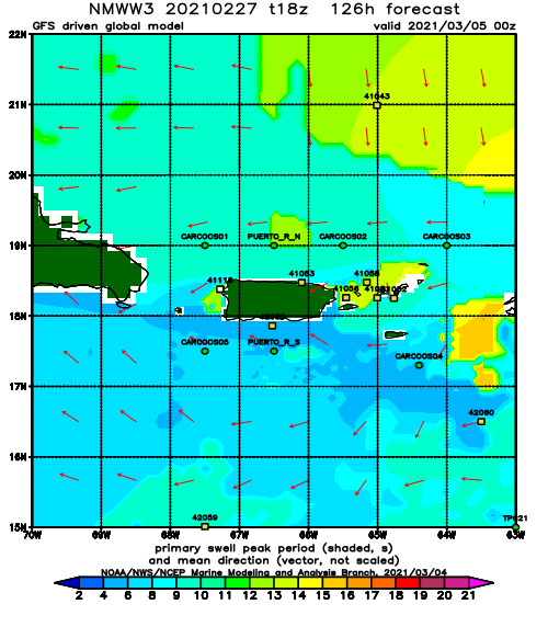
Forecast Swell Period:
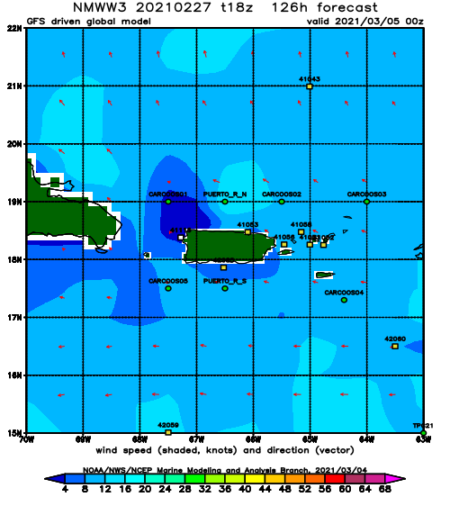
Forecast Winds:
Thu
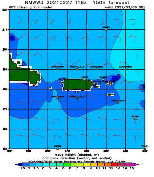
NOAA WaveWatch III Wave Model:
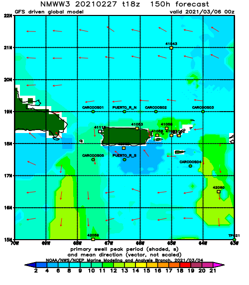
Forecast Swell Period:
Forecast Winds:
Fri
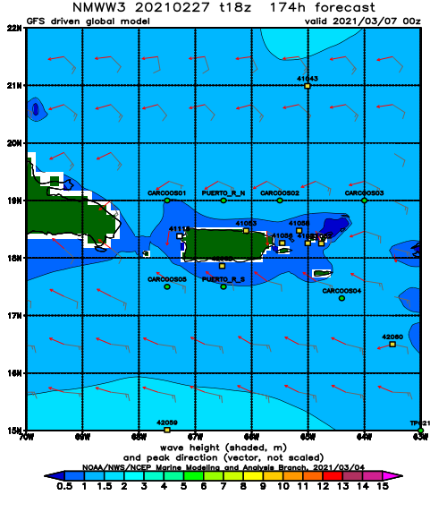
NOAA WaveWatch III Wave Model:
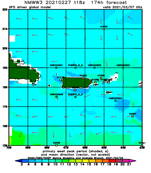
Forecast Swell Period:
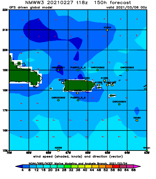
Forecast Winds:
