Rincon, Puerto Rico Surf Forecast – May 21, 2015
Quiet weekend for surf in Rincon, but next week looks promising.
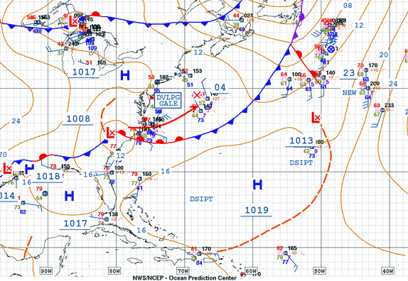
High pressure will dominate the weekend and flatten out our little background pulse of swell. The north side of the island should still continue with chest high surf and decent conditions early in the morning, but don’t expect glassy perfection. The possibility of a devloping gale over the weekend right in our swell generation window is the real weather to watch. If it happens just right we could be looking at a few days of fun surf starting mid-week next week.
Today
NOAA WaveWatch III Wave Model:
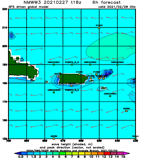
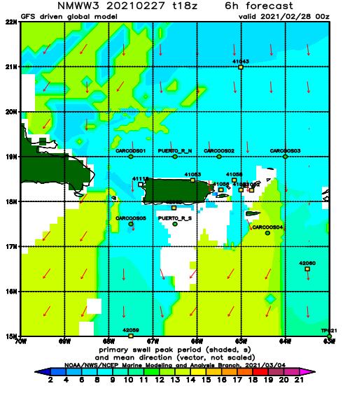
Forecast Swell Period:
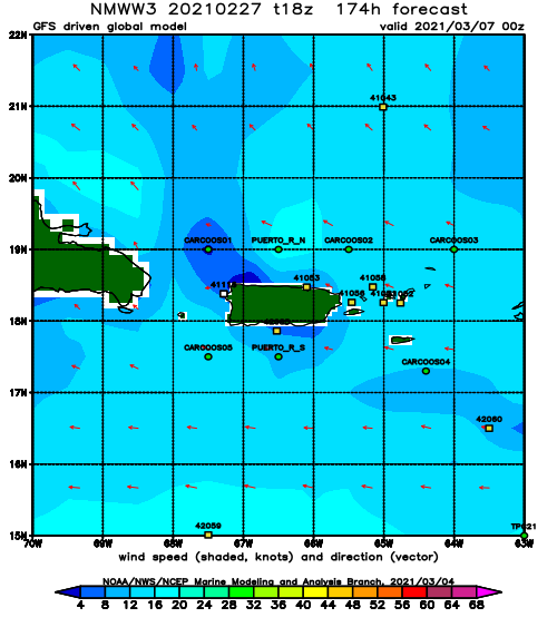
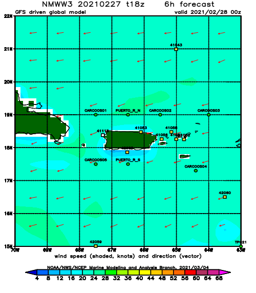
Forecast Winds:
Sat
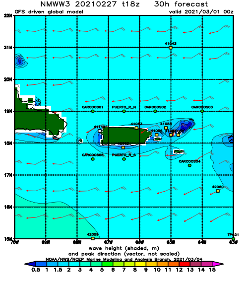
NOAA WaveWatch III Wave Model:
Forecast Swell Period:
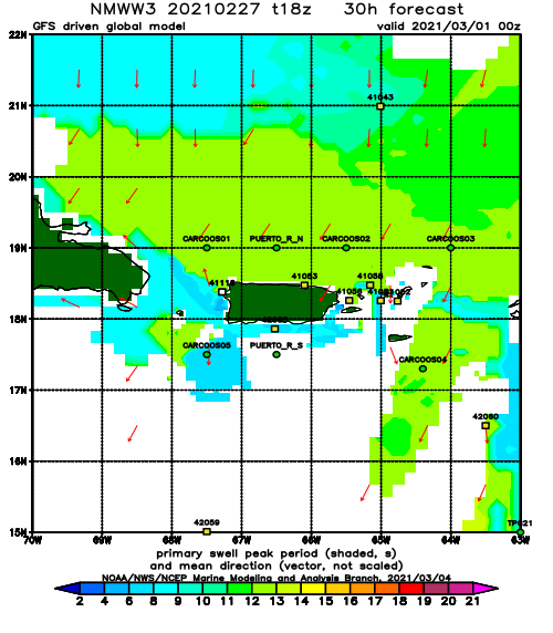
Forecast Winds:
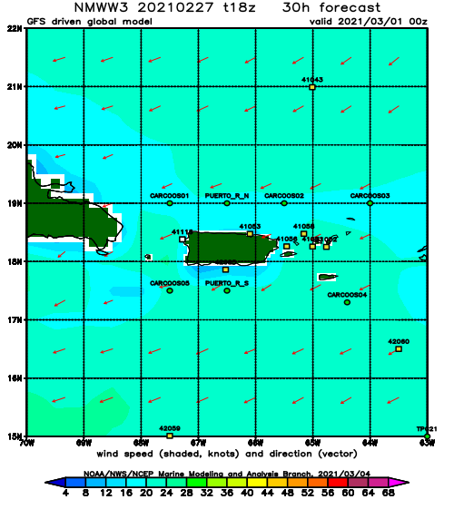
Sun
NOAA WaveWatch III Wave Model:
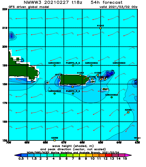
Forecast Swell Period:
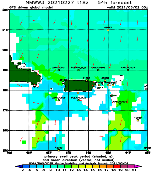
Forecast Winds:
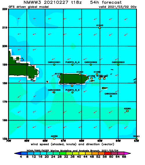
Mon
NOAA WaveWatch III Wave Model:
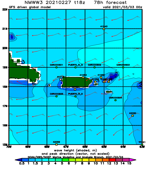
Forecast Swell Period:
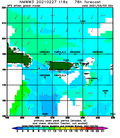
Forecast Winds:
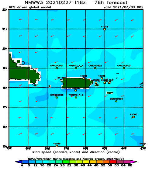
Tue
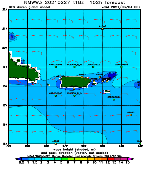
NOAA WaveWatch III Wave Model:
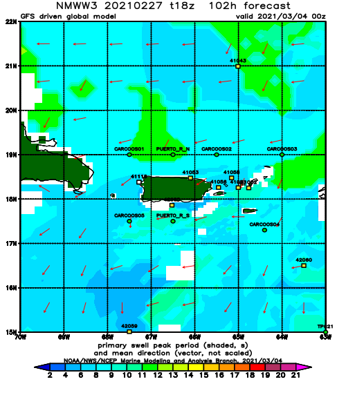
Forecast Swell Period:
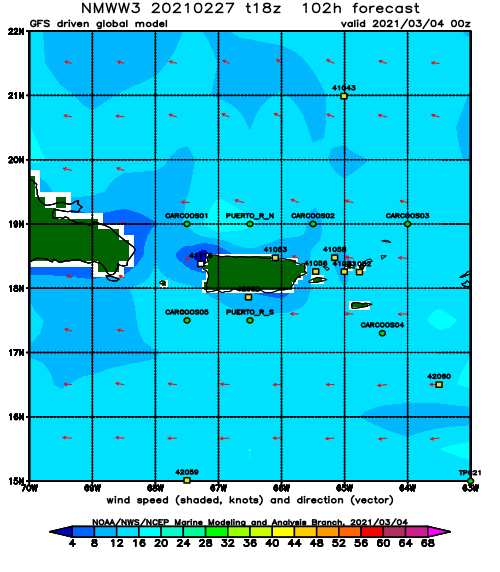
Forecast Winds:
Wed
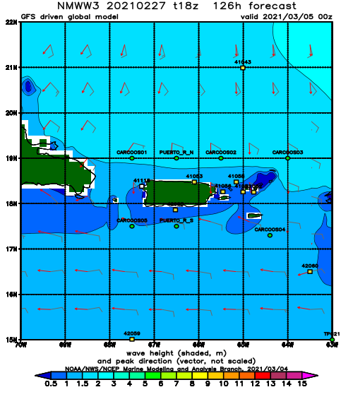
NOAA WaveWatch III Wave Model:
Forecast Swell Period:
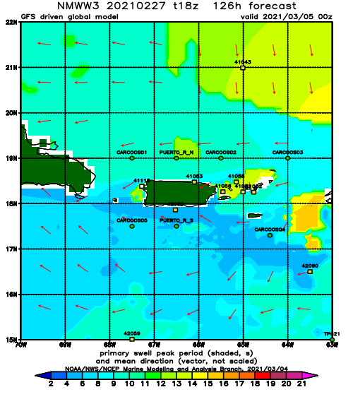
Forecast Winds:
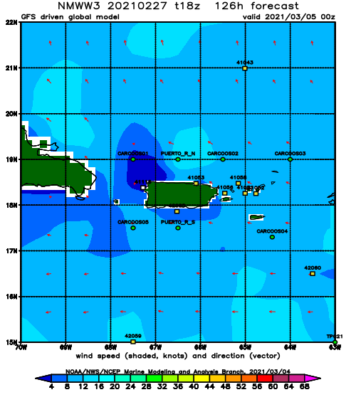
Thu
NOAA WaveWatch III Wave Model:
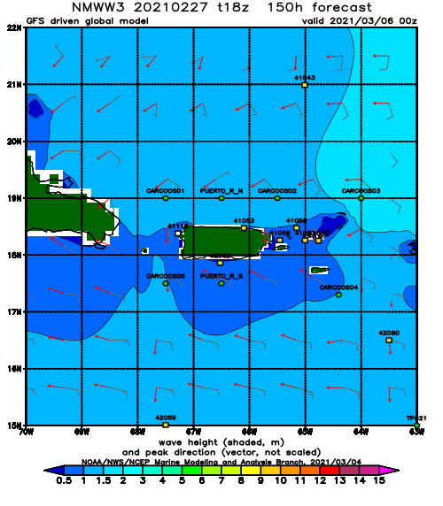
Forecast Swell Period:
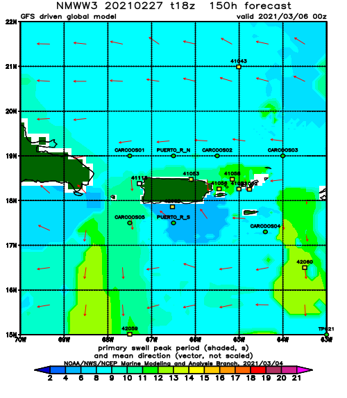
Forecast Winds:
Fri
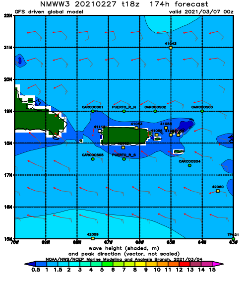
NOAA WaveWatch III Wave Model:
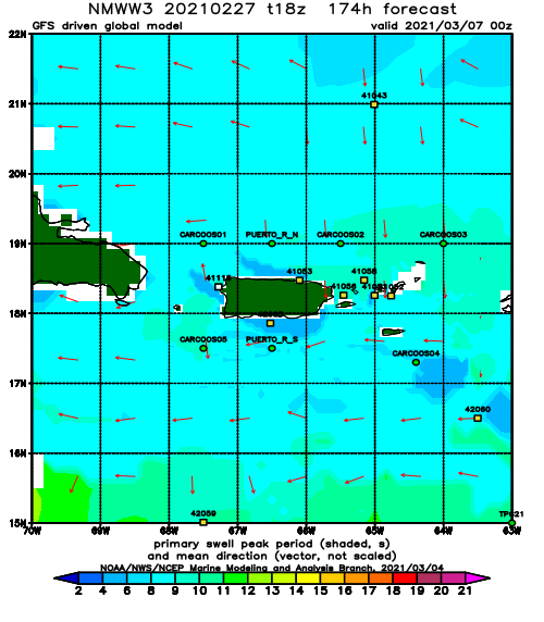
Forecast Swell Period:
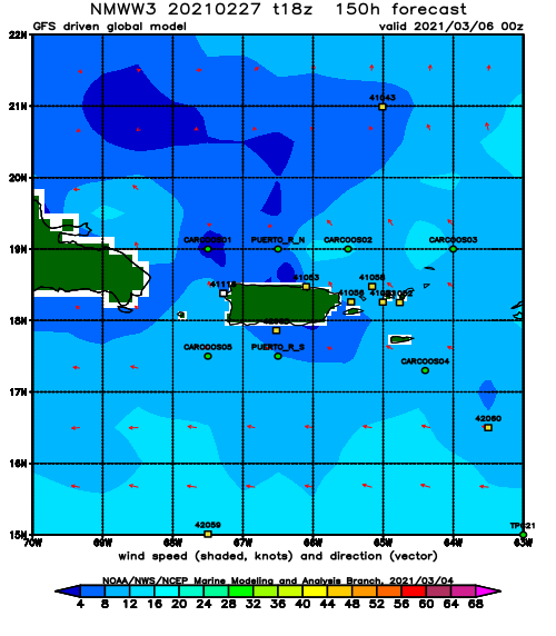
Forecast Winds:
