Rincon, Puerto Rico Surf Forecast – May 25, 2019
Winter in May – More Surf on the Way!
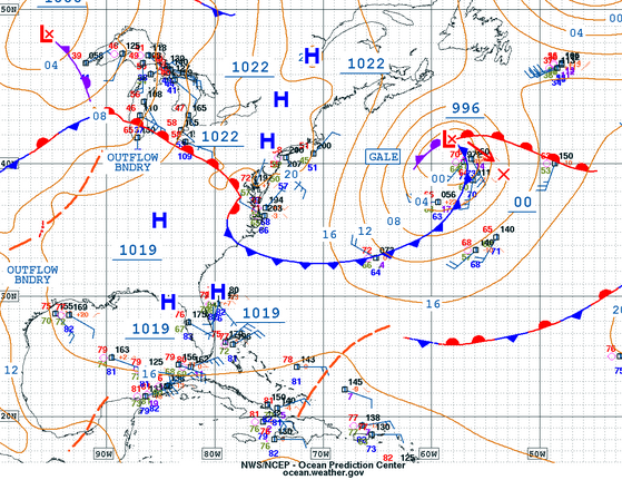
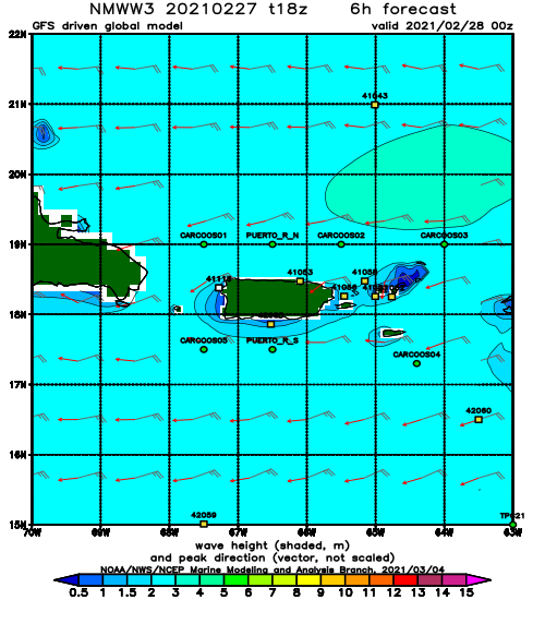
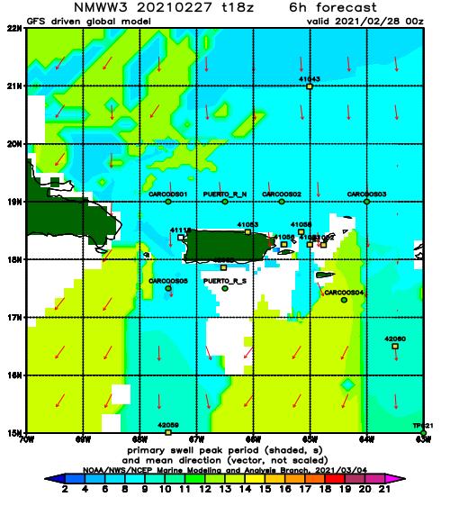
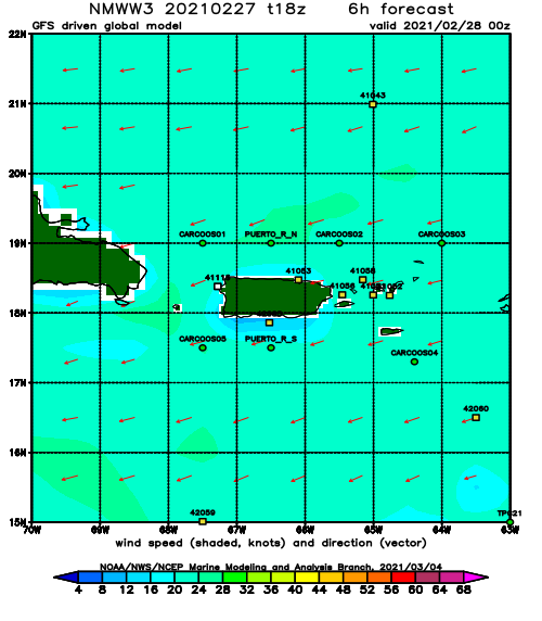
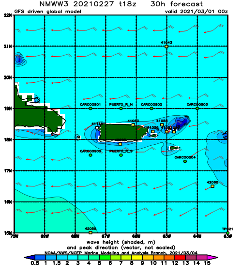
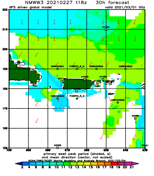
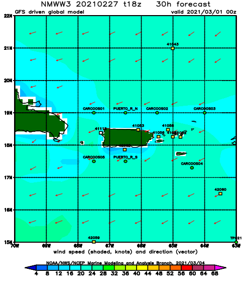
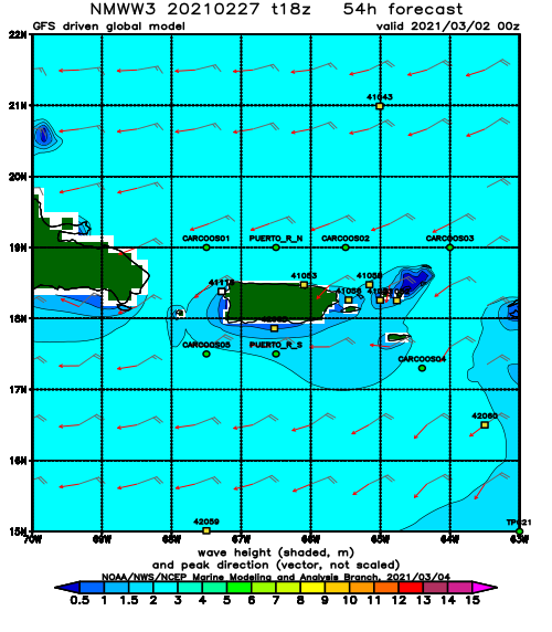
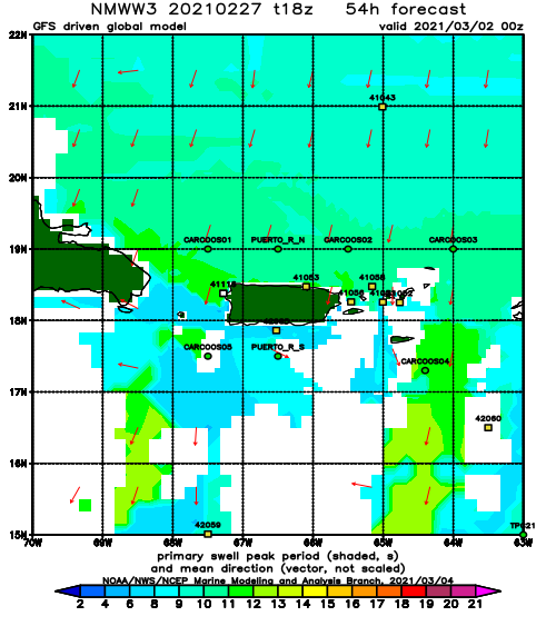
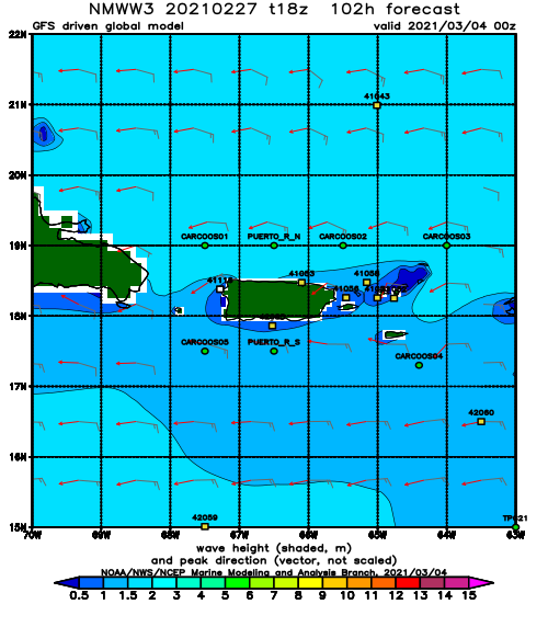
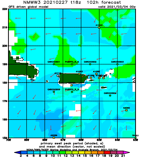
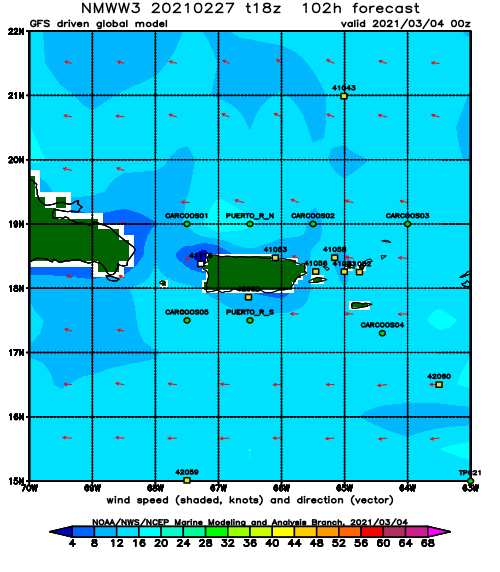
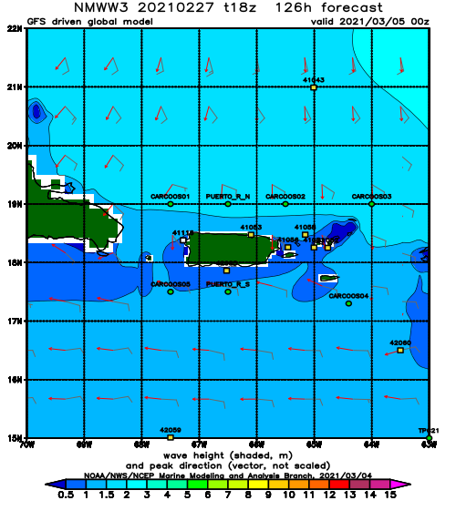
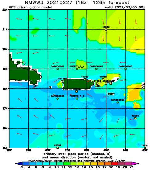
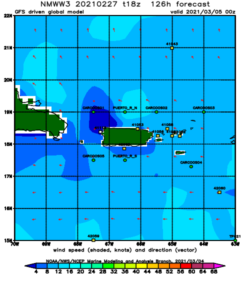
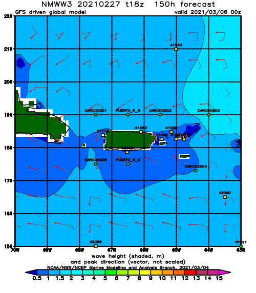
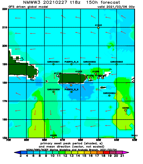
This is a special treat! You know that part of the Atlantic that was off limits to cold-fronts pretty much the entire season giving us the worst season ever? Well, I guess it’s finally open for business again – in May. We have a cold-front swell in May (and possibly more in June). If you look at the weather map above, that is normally what you see in November or March. We have at the end of May. We have a decent front with a favorable fetch on the back side that will give us a week long swell event starting later on today. Expect some waist to chest surf with bigger sets over the next three days. On Tuesday, we should see some surf in the 2ft overhead range with some bigger sets possible. The wind will be super light this entire swell event. Unfortunately, when there is no dominant wind we tend to see onshore flow at all beaches in the afternoons, so the mornings will probably offer the cleanest conditions.
Today
NOAA WaveWatch III Wave Model:
Forecast Swell Period:
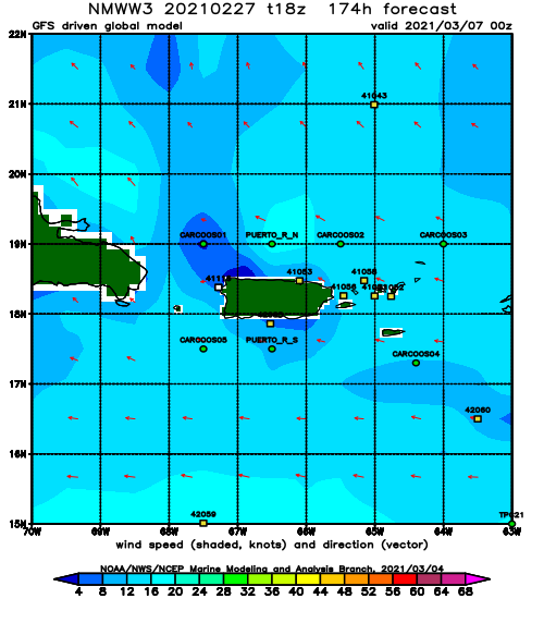
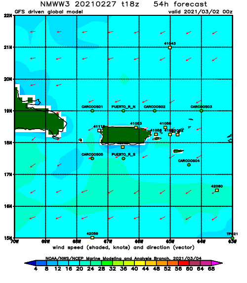
Forecast Winds:
Sat
NOAA WaveWatch III Wave Model:
Forecast Swell Period:
Forecast Winds:
Sun
NOAA WaveWatch III Wave Model:
Forecast Swell Period:
Forecast Winds:
Mon
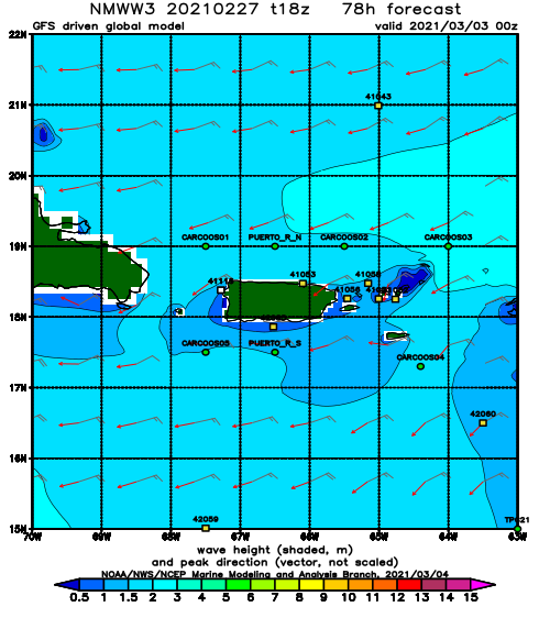
NOAA WaveWatch III Wave Model:
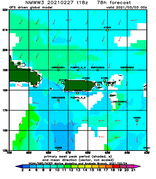
Forecast Swell Period:
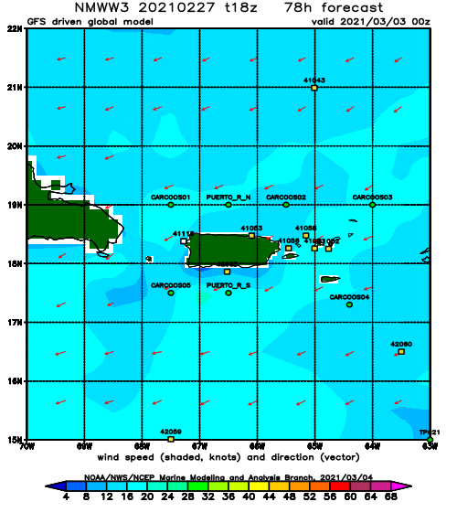
Forecast Winds:
Tue
NOAA WaveWatch III Wave Model:
Forecast Swell Period:
Forecast Winds:
Wed
NOAA WaveWatch III Wave Model:
Forecast Swell Period:
Forecast Winds:
Thu
NOAA WaveWatch III Wave Model:
Forecast Swell Period:
Forecast Winds:
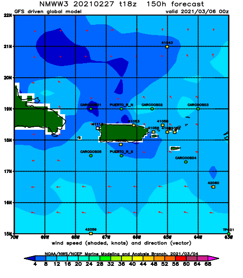
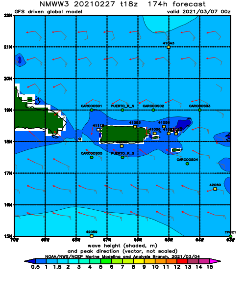
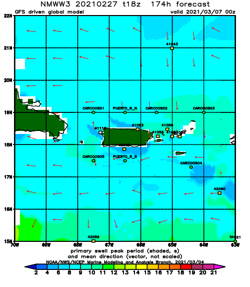
Fri
NOAA WaveWatch III Wave Model:
Forecast Swell Period:
Forecast Winds:
