Rincon, Puerto Rico Surf Forecast – May 31, 2015
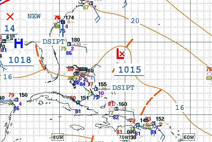
Plenty of weather around us, but not much that will make surf.
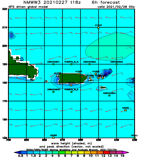
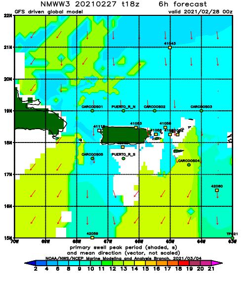
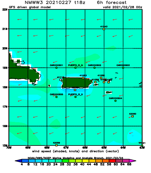
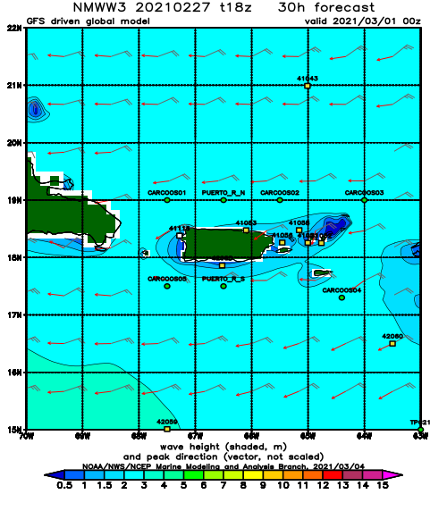
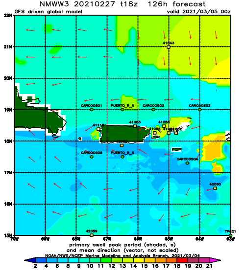
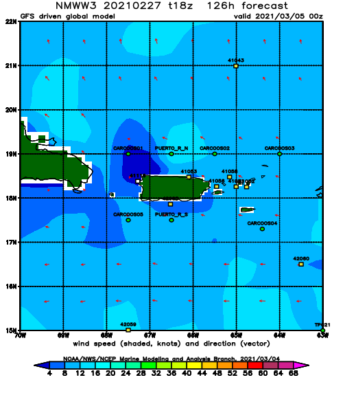
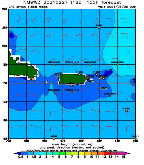
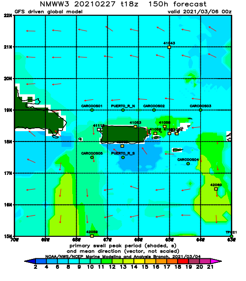
We had a super fun run of perfect waves the past three days. It was great! I hope everyone got a chance to get in the water. We’re going to go back to small to flat for a while. But at least there is some weather to keep an eye on while we’re flat with some hopes of a swell a week out (hopefully sooner). This part of the year is generally flatsville by now so any surf is happily welcomed here in Rincon. The North side of the island should continue with some fun waist to chest high waves with glassy conditions in the morning.
Today
NOAA WaveWatch III Wave Model:
Forecast Swell Period:
Forecast Winds:
Sat
NOAA WaveWatch III Wave Model:
Forecast Swell Period:
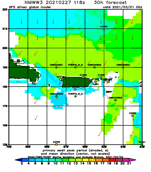
Forecast Winds:
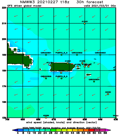
Sun
NOAA WaveWatch III Wave Model:
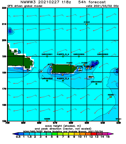
Forecast Swell Period:
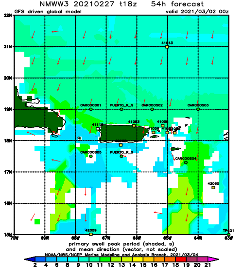
Forecast Winds:
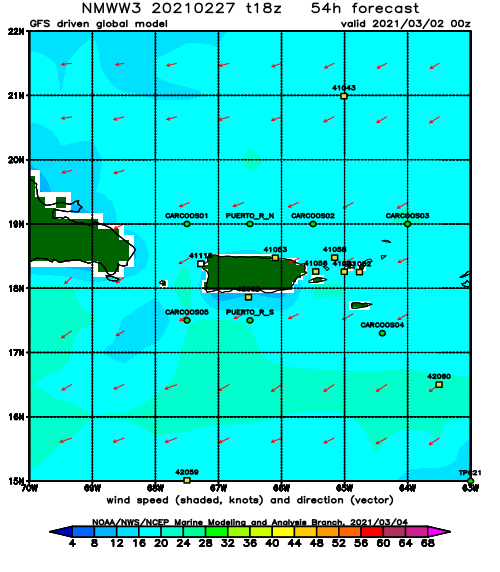
Mon
NOAA WaveWatch III Wave Model:
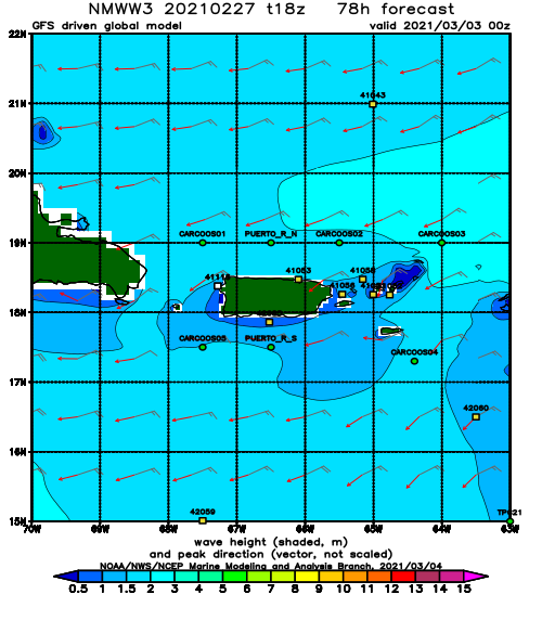
Forecast Swell Period:
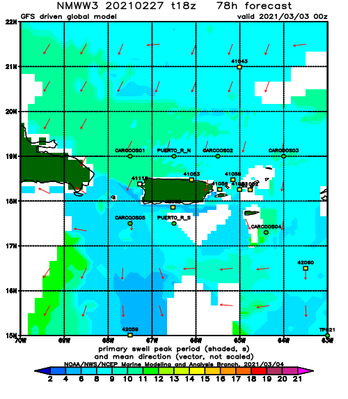
Forecast Winds:
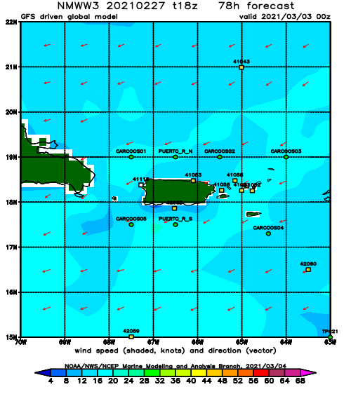
Tue
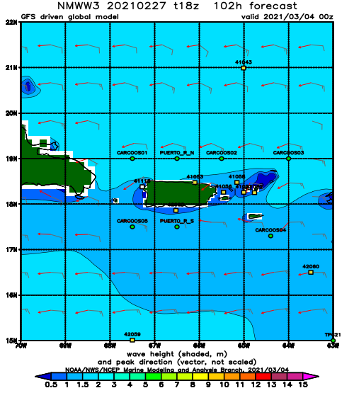
NOAA WaveWatch III Wave Model:
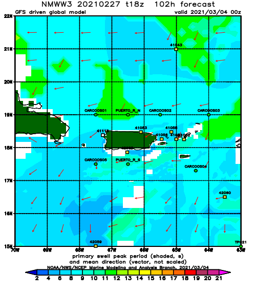
Forecast Swell Period:
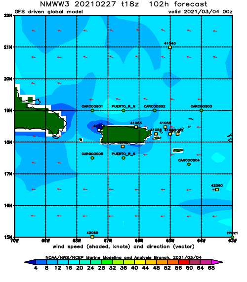
Forecast Winds:
Wed
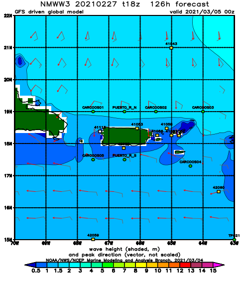
NOAA WaveWatch III Wave Model:
Forecast Swell Period:
Forecast Winds:
Thu
NOAA WaveWatch III Wave Model:
Forecast Swell Period:
Forecast Winds:
Fri
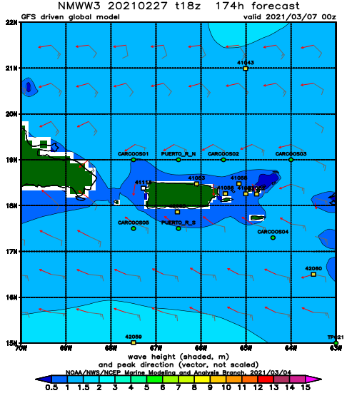
NOAA WaveWatch III Wave Model:
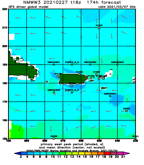
Forecast Swell Period:
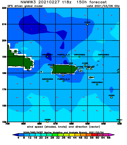
Forecast Winds:
