Rincon, Puerto Rico Surf Forecast – Oct 10, 2015

Plenty of weather to keep a small wave around for surfing puerto rico.

Plenty of weather to keep some small surf on tap.

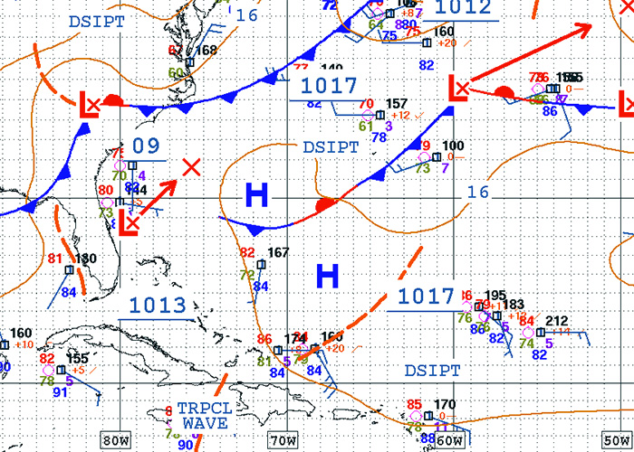
I know everyone’s gotta be tired after the solid run of swell we’ve had. Let your arms grow back. We’ll take a little break for the next week as we stay small, but we shouldn’t be completely flat. The north side of the island should see some waist to chest high surf all of next week. Rincon will most likely stay in the knee to waist high range with some bigger sets on the right tide, at the right spot, on the right day. Catch up on work, chores, or other responsibilities, it shouldn’t be but another week before we start to see some coldfront action… I hope. In the meantime, it’s a great time to learn how to surf. The waves will be perfect beginner waves all of the coming week.

Today

NOAA WaveWatch III Wave Model:

Wave Watch III from NOAA wave prediction model for surfing Puerto Rico.

Forecast Swell Period:

Forecast Winds:

Fri

NOAA WaveWatch III Wave Model:

Wave Watch III from NOAA wave prediction model for surfing Puerto Rico.

Forecast Swell Period:

Forecast Winds:

Sat

NOAA WaveWatch III Wave Model:

Wave Watch III from NOAA wave prediction model for surfing Puerto Rico.

Forecast Swell Period:

Forecast Winds:

Sun

NOAA WaveWatch III Wave Model:

Wave Watch III from NOAA wave prediction model for surfing Puerto Rico.

Forecast Swell Period:

Forecast Winds:

Mon

NOAA WaveWatch III Wave Model:

Wave Watch III from NOAA wave prediction model for surfing Puerto Rico.

Forecast Swell Period:

Forecast Winds:

Tue

NOAA WaveWatch III Wave Model:

Wave Watch III from NOAA wave prediction model for surfing Puerto Rico.

Forecast Swell Period:

Forecast Winds:

Wed

NOAA WaveWatch III Wave Model:

Wave Watch III from NOAA wave prediction model for surfing Puerto Rico.

Forecast Swell Period:

Forecast Winds:

Thu

NOAA WaveWatch III Wave Model:

Wave Watch III from NOAA wave prediction model for surfing Puerto Rico.

Forecast Swell Period:

Forecast Winds:

Atlantic Ocean Satellite Loop

Using Automated Forecast Tools:

Remember that no matter what a computer model tells you, what you see on the beach might be completely different. That's why i go take pictures of the beach every day. These tools help give an idea of what to expect, but weather prediction is not always exact especially the further out you try to forecast. Surf forecasting takes into account the general correlation between past weather data and resulting surf conditions. Another thing to keep in mind is the difference between actual swell height and the face height of the rideable wave it creates. For example. When the waves are forecast to have a 6ft swell at 13 seconds or higher with a NW angle we normally get waves that most people would call double over-head on sets. Swell angle is also important, especially for shorter period swell (9-11 seconds). For example 3ft at 11 seconds from the NW will make a bigger wave than 4ft at 9 seconds from the NE. Normally longer period swell (13+ seconds) will be more powerful and keep the surf size a little better even if the angle isn't a direct hit to Rincon. Generally any swell less than 9 seconds is super weak here in Rincon unless it has a lot of west in it. Also, most NE swell under 12 seconds is weak and mushy. 2ft at 8 seconds is generally small to flat. ENE swell will almost never make it into Rincon unless it was something like 10ft at 18 seconds from the ENE.