Rincon, Puerto Rico Surf Forecast – Oct 27, 2019
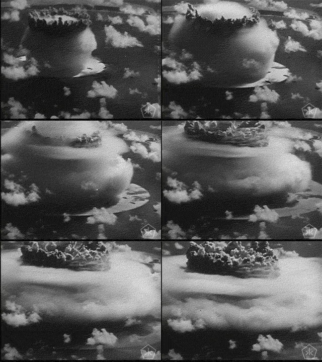
Weather System Bombs Out – More surf for Rincon, Puerto Rico.
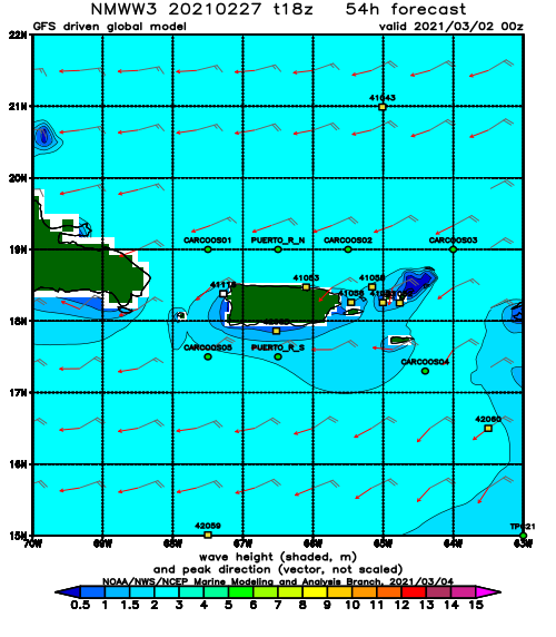
A massive front is just sitting in the North Atlantic between the continents and rapidly intensifying. The fetch area is huge. Swell will be generated for everyone. This is a beast of a storm and should be an amazing swell event. Some long period swell from previous weather activity should show up today and and hold through to when the current beast storm’s swell hits in a another day or two. The swell angle will be slightly pointed away from Rincon, but the swell period will be long enough to not really matter. I anticipate a little less size here in Rincon than other parts of the island, but double overhead sets will still roll through when the big stuff arrives. The form should be absolutely perfect at many spots. The swell is long period swell with lots of grooming on it’s travels to PR. Here’s how I see it playing out:
Sunday we start to see the swell creep in slowly through the day. We start off waist to chest high and end the day a couple feet overhead.
Monday 2 to 4 ft overhead with some double overhead sets here in Rincon and heavy.
Tuesday 2ft overhead and glassy with bigger sets.
Wednesday head high to a couple of feet overhead in the morning and consistently overhead in the evening with possible double overhead sets before sundown.
Thursday 2ft overhead with bigger sets.
Friday 2-4ft overhead with double overhead sets.
Saturday 2ft overhead with perfect conditions.
Sunday Head high to 2ft overhead with perfect conditions.
What a forecast! This is going to be a MAJOR swell event. Bear in mind that more exposed coasts of the island will be considerably larger. Also, what makes this swell event so special is the persistent longer period. Most of the time we only get a few hours or maybe a day’s worth of long period swell. On this event we see longer period for about an entire week. I’m so stoked!
SAFETY WARNING!
This is going to be a decent sized swell with a lot of power. Don’t get yourself killed. If you see someone trying to take a foamy out into double overhead surf stop them (unless it’s Jamie O’Brian). Any time you consider a paddle out ask yourself if you could swim back if you get knocked to the bottom and lose your board. Be nice to each other and lookout for one another. No need to be overly agro and disrespect someone’s life or your own.
Today
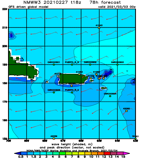
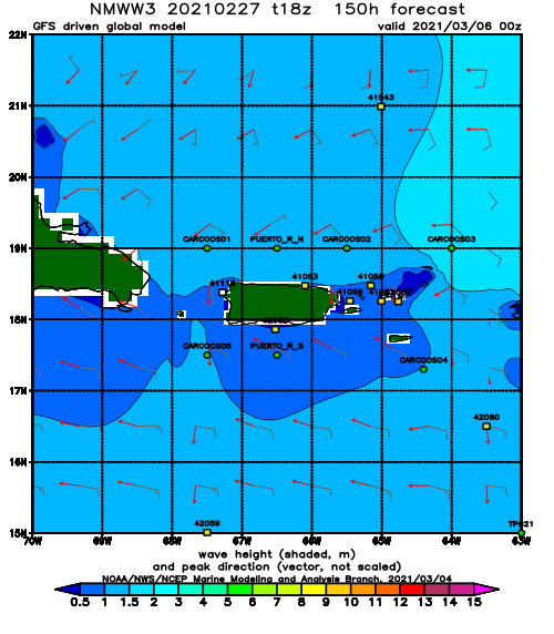
NOAA WaveWatch III Wave Model:
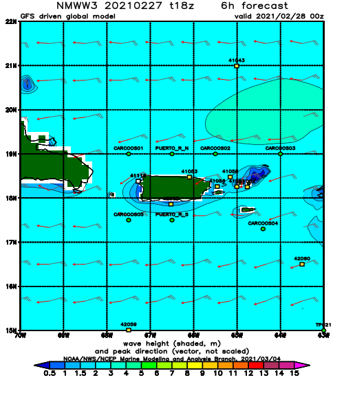
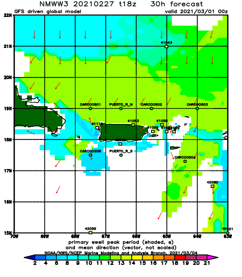
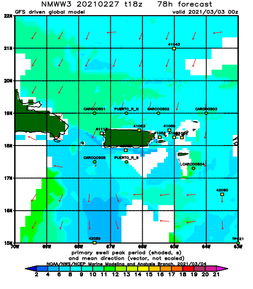
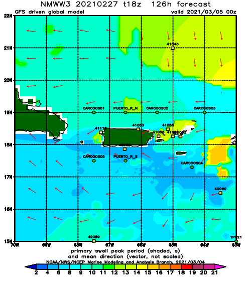
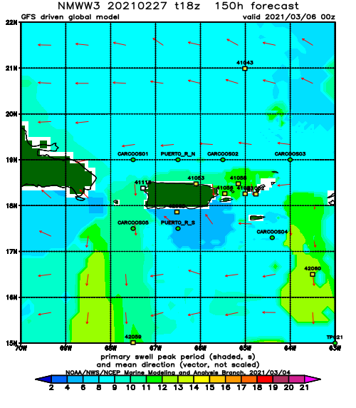
Forecast Swell Period:
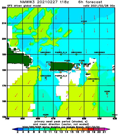
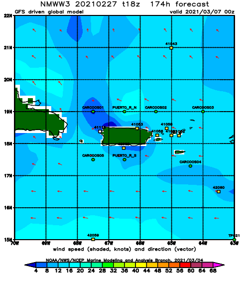
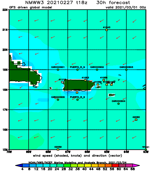
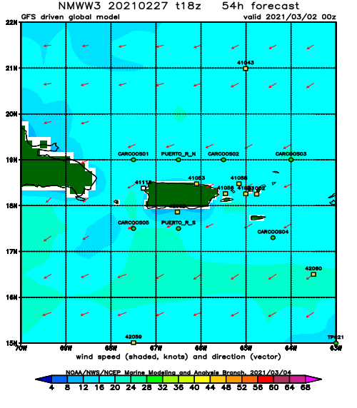
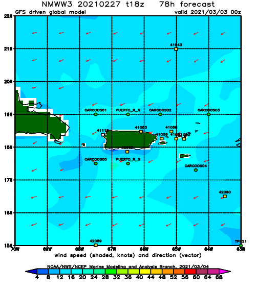
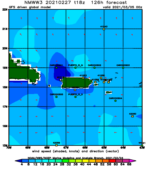
Forecast Winds:
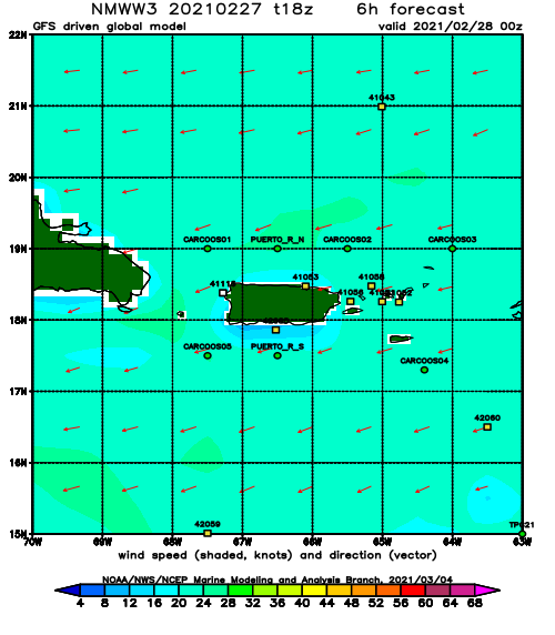
Sat
NOAA WaveWatch III Wave Model:
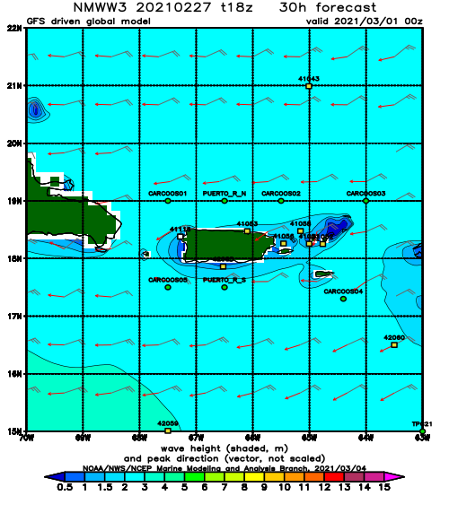
Forecast Swell Period:
Forecast Winds:
Sun
NOAA WaveWatch III Wave Model:
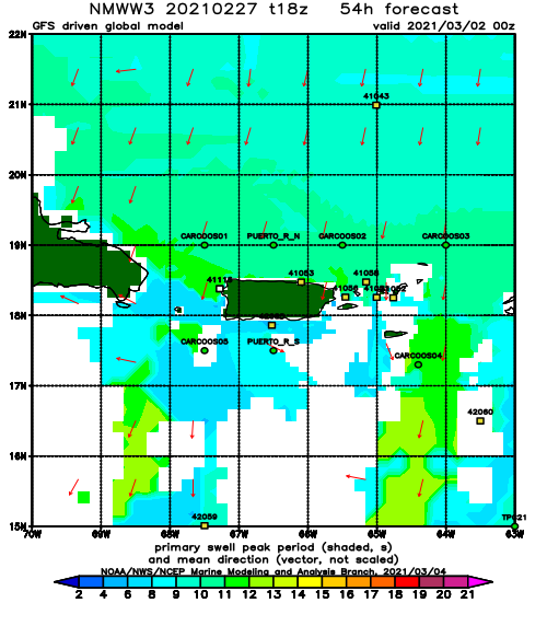
Forecast Swell Period:
Forecast Winds:
Mon
NOAA WaveWatch III Wave Model:
Forecast Swell Period:
Forecast Winds:
Tue
NOAA WaveWatch III Wave Model:
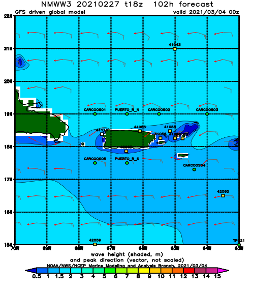
Forecast Swell Period:
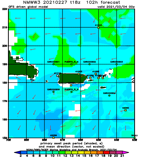
Forecast Winds:
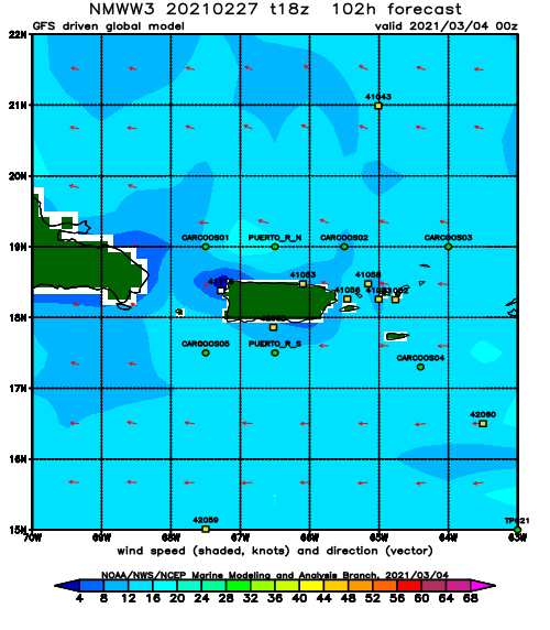
Wed
NOAA WaveWatch III Wave Model:
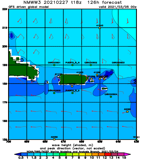
Forecast Swell Period:
Forecast Winds:
Thu
NOAA WaveWatch III Wave Model:
Forecast Swell Period:
Forecast Winds:
Fri
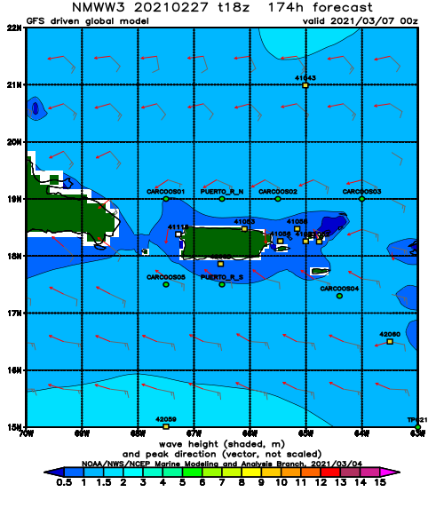
NOAA WaveWatch III Wave Model:
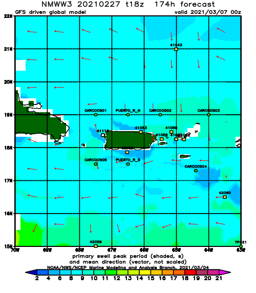
Forecast Swell Period:
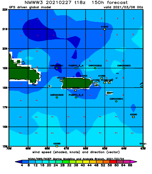
Forecast Winds:
