Rincon, Puerto Rico Surf Forecast – Oct 8, 2019
NE swell for days – plenty of surf for Rincon.
Granted, the NE angle isn’t ideal for Rincon. But when there is enough size in it, there’s always plenty of fun waves. Due to the shorter period, don’t expect the same push and power of the last major swell event. Expect conditions to remain steady today and drop off slightly tomorrow. Thursday will be small and a bit lully before evening out to waist to chest high leftovers on Friday. Not to worry though, we should begin to see a new pulse start to show up on Saturday and build through the day. The next swell event could be another week long run of swell. This season is off to a good start.
Today
NOAA WaveWatch III Wave Model:

Forecast Swell Period:

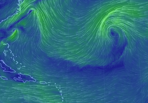
Forecast Winds:

Sun
NOAA WaveWatch III Wave Model:

Forecast Swell Period:

Forecast Winds:

Mon
NOAA WaveWatch III Wave Model:

Forecast Swell Period:

Forecast Winds:

Tue
NOAA WaveWatch III Wave Model:

Forecast Swell Period:

Forecast Winds:

Wed
NOAA WaveWatch III Wave Model:

Forecast Swell Period:

Forecast Winds:

Thu
NOAA WaveWatch III Wave Model:

Forecast Swell Period:

Forecast Winds:

Fri
NOAA WaveWatch III Wave Model:

Forecast Swell Period:

Forecast Winds:

Sat
NOAA WaveWatch III Wave Model:

Forecast Swell Period:

Forecast Winds:


