Rincon, Puerto Rico Surf Forecast – April 13, 2018
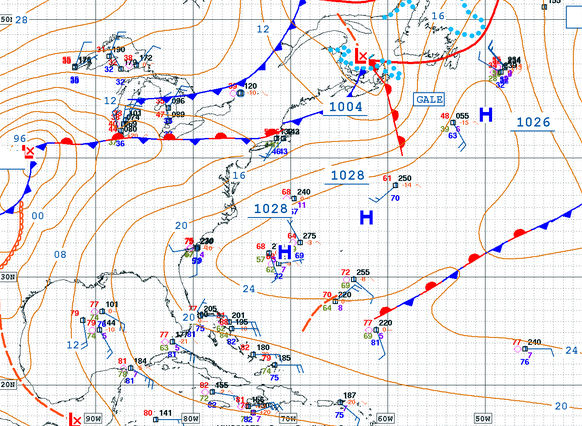
Smaller Surf in the forecast for Surfing Puerto Rico.
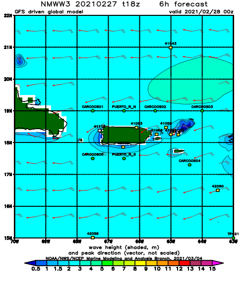
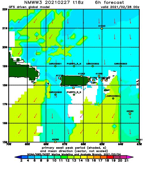
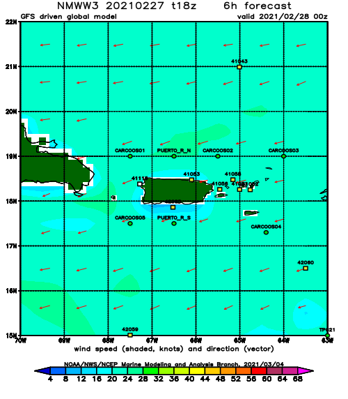
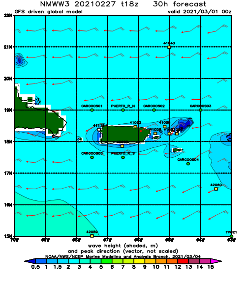
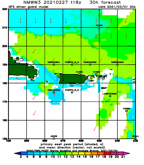
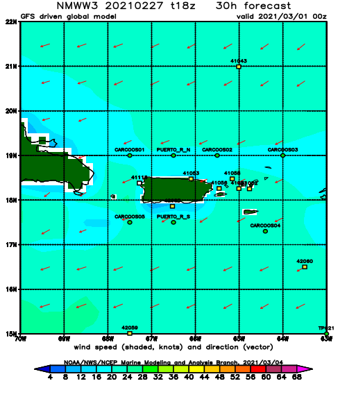
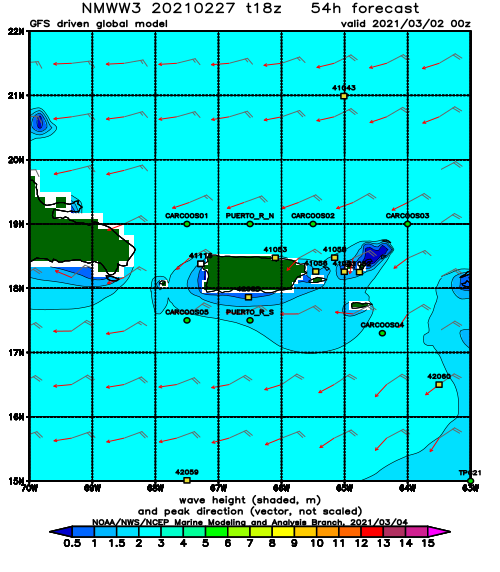
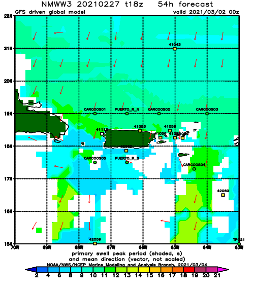
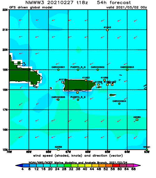
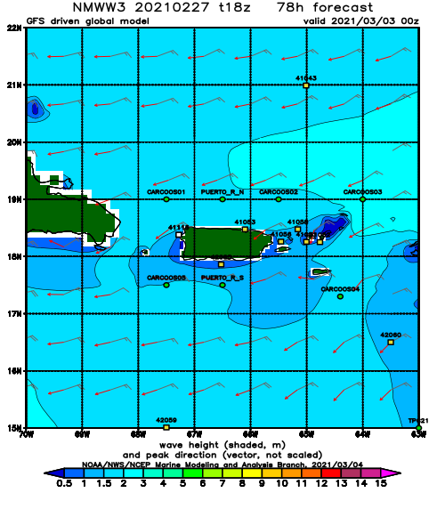
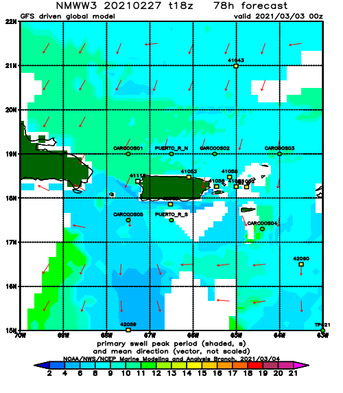
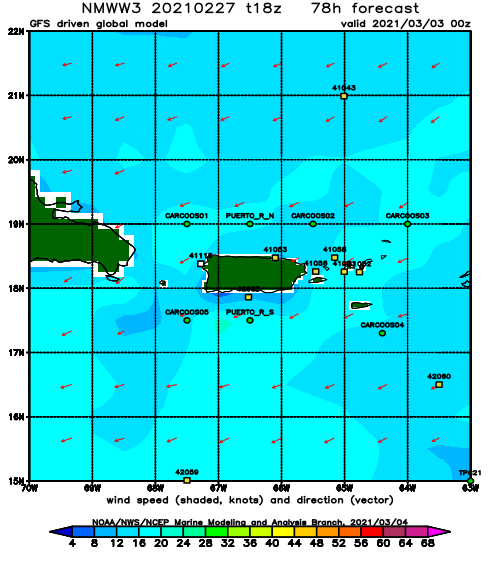
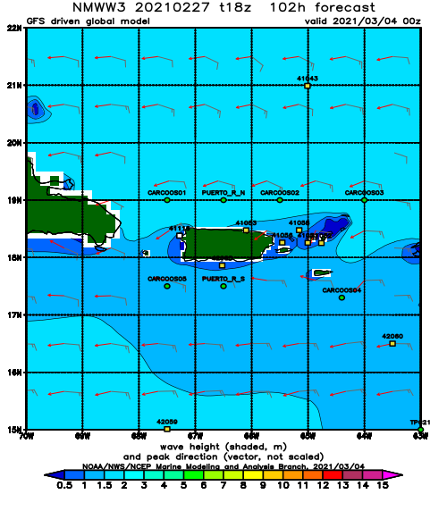
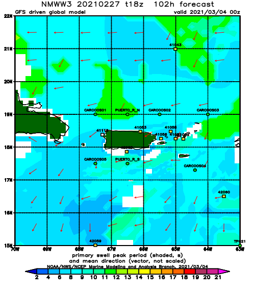
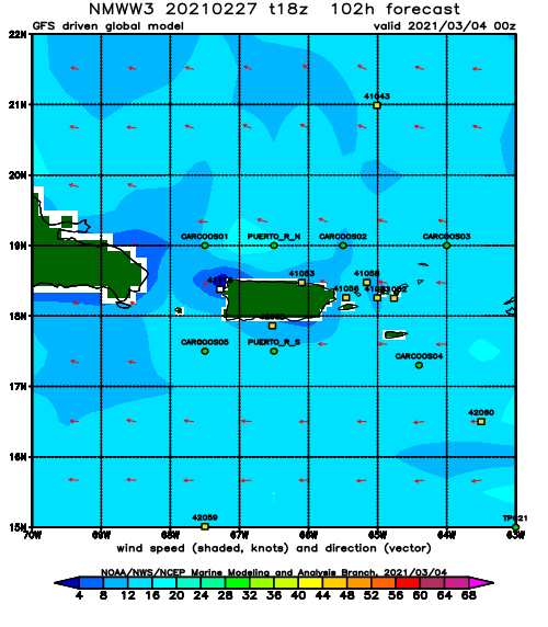
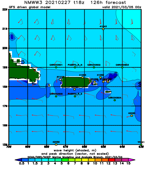
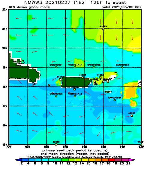
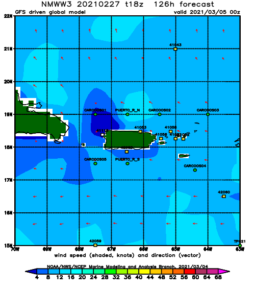
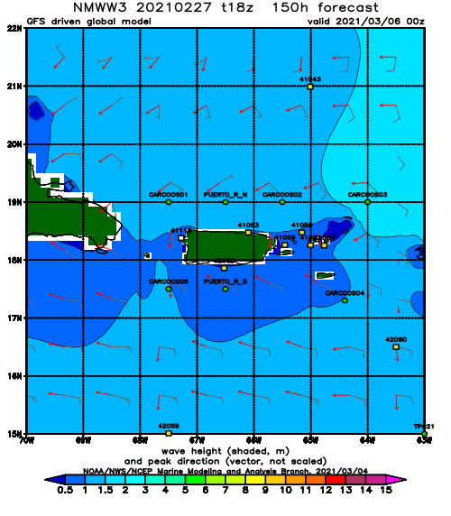
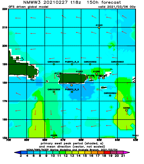
This late in the season it’s no surprise to see a decline in lower latitude winter storms. Unfortunately it would appear that they have disappeared all together and the weather has resumed it’s “up and over” pattern for low pressure with the Bermuda High setting up strong and early this year. This disturbs me – the water is already 81.5F down here and 82 is the minimum to support tropical cyclone formation. More about that in a separate post though. For now we will focus on the two weather systems that should generate some decent smaller surf. The first pulse should arrive from a combination of high pressure wind swell and low pressure NW wind swell. In both instances you notice that it’s all wind swell. Sorry but 10 seconds is the most we’re getting out of this first pulse. The good news is that the NW angle hits Rincon very well and 2ft at 10s from the NW makes for some fun chest high surf at several spots. I’m anticipating this weekend to stay in the waist to chest high range in Rincon. Round two should start to fill in early next week. This second pulse will also be a combo swell with NW wind swell followed by long period NE swell if the storm pulls out as currently forecast. We should see the really long period swell hit most of Puerto Rico on Tuesday through Thursday if all goes according to plan. If we really do see some 2.5ft at 18 seconds swell, several spots should be around head high and bigger on sets here in Rincon.
Today
NOAA WaveWatch III Wave Model:
Forecast Swell Period:
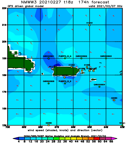
Forecast Winds:
Sat
NOAA WaveWatch III Wave Model:
Forecast Swell Period:
Forecast Winds:
Sun
NOAA WaveWatch III Wave Model:
Forecast Swell Period:
Forecast Winds:
Mon
NOAA WaveWatch III Wave Model:
Forecast Swell Period:
Forecast Winds:
Tue
NOAA WaveWatch III Wave Model:
Forecast Swell Period:
Forecast Winds:
Wed
NOAA WaveWatch III Wave Model:
Forecast Swell Period:
Forecast Winds:
Thu
NOAA WaveWatch III Wave Model:
Forecast Swell Period:
Forecast Winds:
Fri
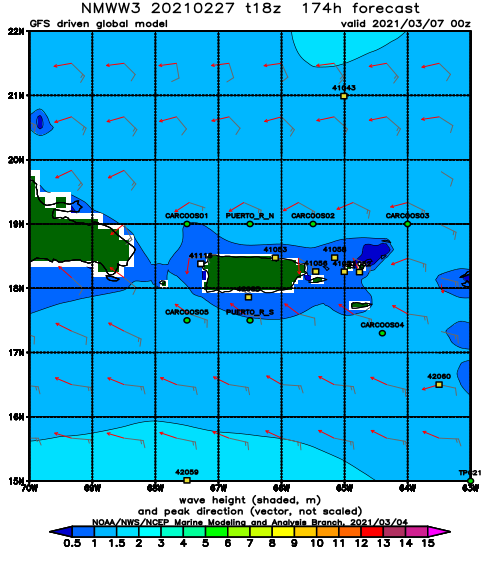
NOAA WaveWatch III Wave Model:
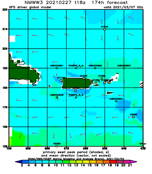
Forecast Swell Period:
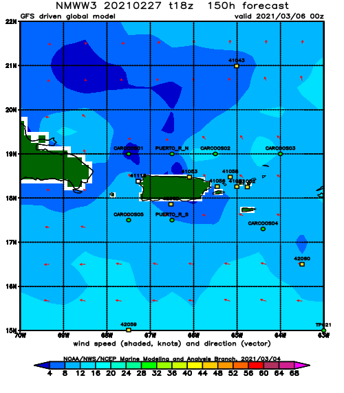
Forecast Winds:
