Rincon Puerto Rico Surf Forecast – Aug 19, 2016

Storms are on the way – surf for Rincon, Puerto Rico too!
Though it’s not all quite on our doorstep yet, plenty of surf generating weather is on the way! There are multiple tropical waves coming off Africa, high heat over a lot of the Atlantic and Caribbean, and we already have Tropical Storm Fiona formed and ready. A steady stream of low pressure systems will be occupying the Northern Atlantic as well. But the most 100% guarantee that there will be waves next weekend is this – I will be out of town. You’re welcome. You all are officially going to surf your brains out next weekend. NOT this weekend. Next weekend.
Here’s the breakdown for the surf forecast:
First off we have Tropical Storm Fiona. I wouldn’t get overly excited about her just yet. She has to survive the gauntlet over the next 3 days and it’s not looking too good and she might not make it. If she does survive, she’ll have a chance to strengthen right in our swell window due North of Puerto Rico. No matter what, at this point the Northeastern coast of PR should get good surf and so should most of the North side of the island. Rincon will only get decent waves if she can reform in our swell window. Any bump up in the intensity forecast and Rincon will be more likely to get waves from her.
Other than Fiona, we have plenty of tropical waves that can follow a closer path to the island and give us decent surf without having to increase to much in intensity as it is. If anything does actually form between now and next weekend then our chances increase drastically. The idea here is that since there’s so many darts being thrown towards the board, at least one of them is likely to hit it.
As for the low pressure systems pulling of the United States, these systems will be likely to play a role in the path taken by the tropical systems and can help push the surf up at the same time. If a decent low pulls off the states making some fun background swell AND pulls a tropical wave into our swell window, we get the chance of having more surf!
Today
NOAA WaveWatch III Wave Model:
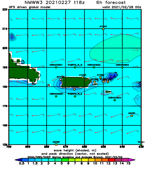
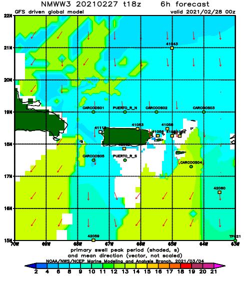
Forecast Swell Period:
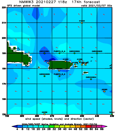
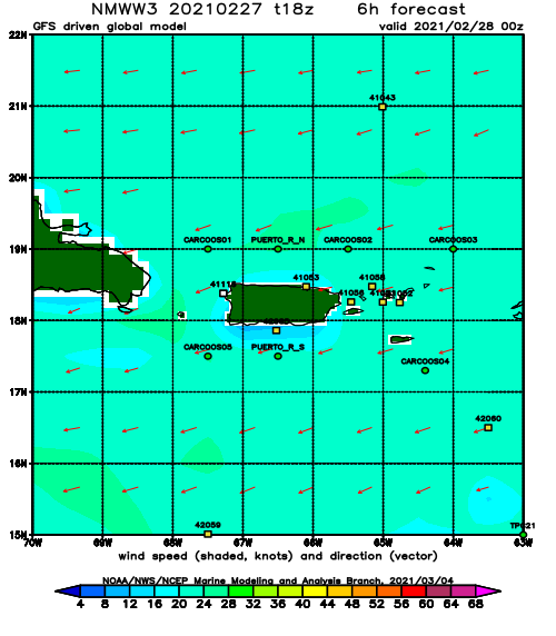
Forecast Winds:
Sat
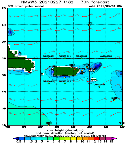
NOAA WaveWatch III Wave Model:
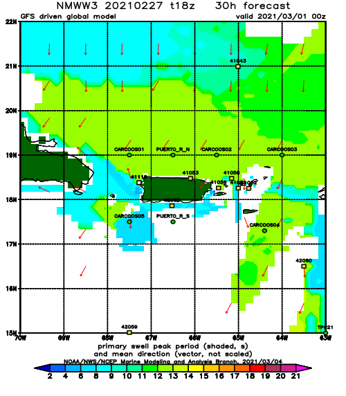
Forecast Swell Period:
Forecast Winds:
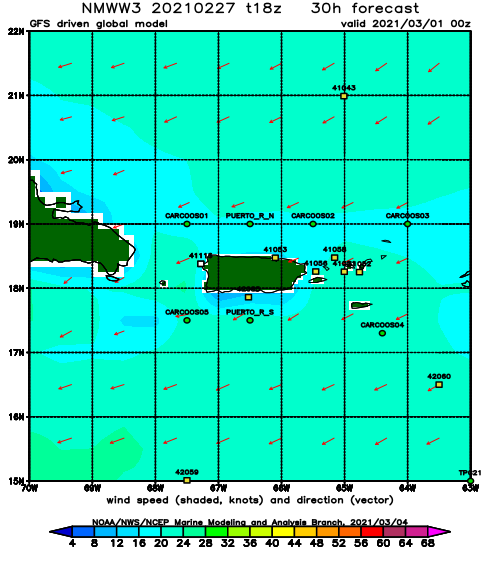
Sun
NOAA WaveWatch III Wave Model:
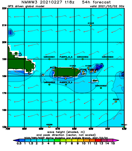
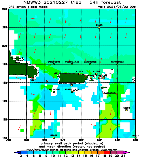
Forecast Swell Period:
Forecast Winds:
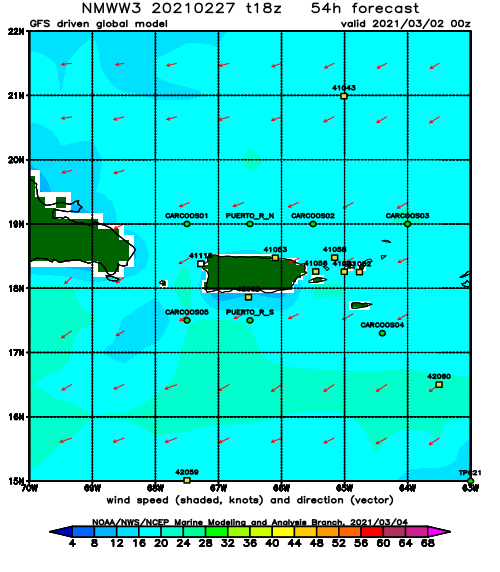
Mon
NOAA WaveWatch III Wave Model:
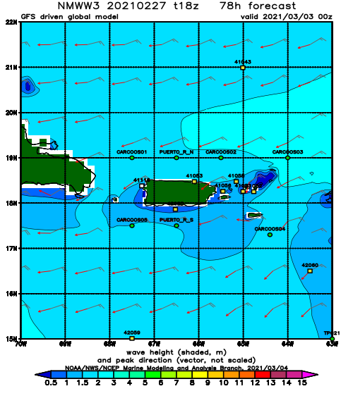
Forecast Swell Period:
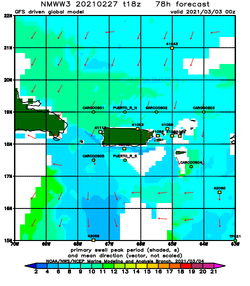
Forecast Winds:
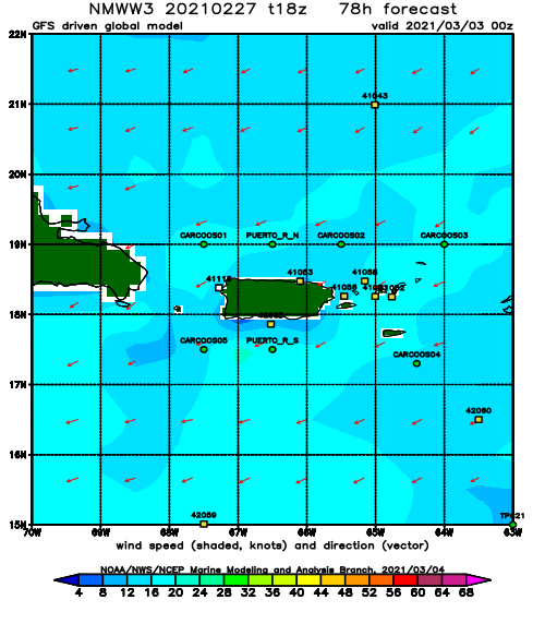
Tue
NOAA WaveWatch III Wave Model:
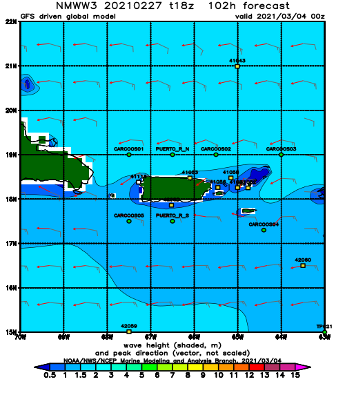
Forecast Swell Period:
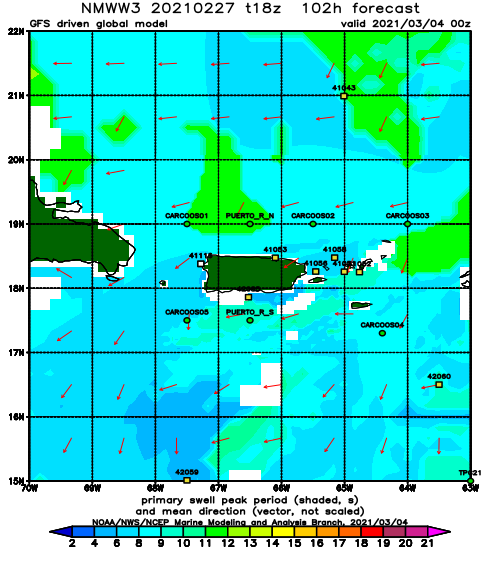
Forecast Winds:
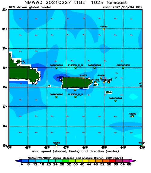
Wed
NOAA WaveWatch III Wave Model:
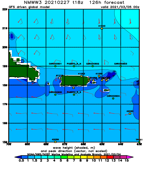
Forecast Swell Period:
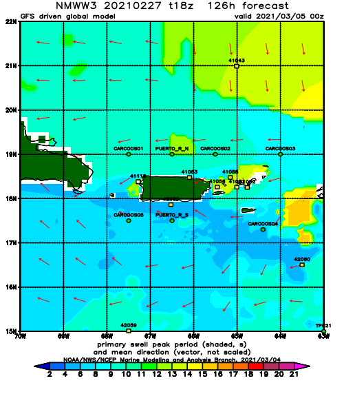
Forecast Winds:
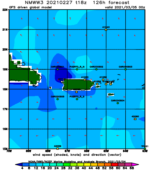
Thu
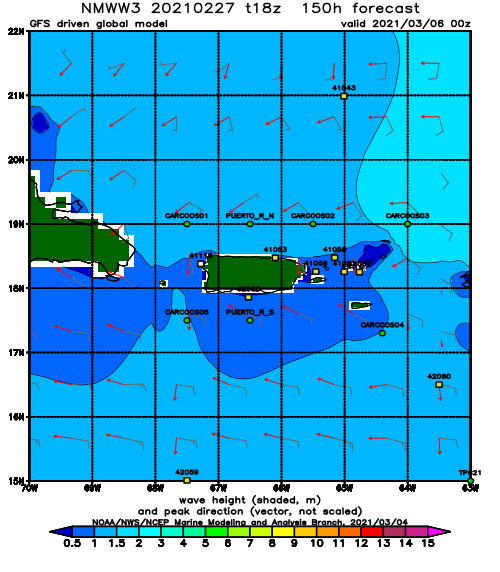
NOAA WaveWatch III Wave Model:
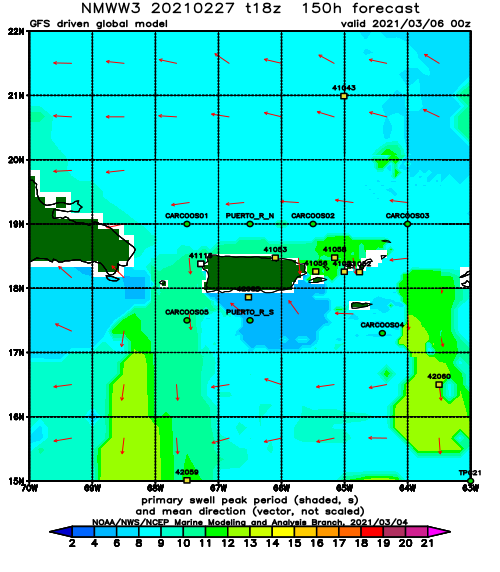
Forecast Swell Period:
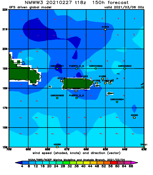
Forecast Winds:
Fri
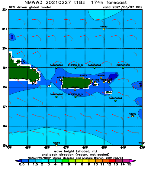
NOAA WaveWatch III Wave Model:
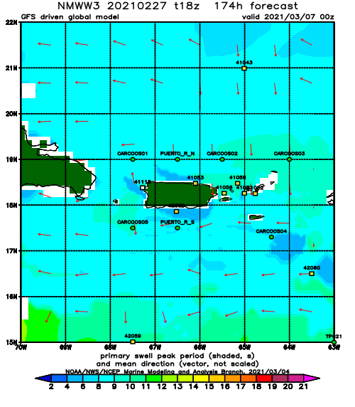
Forecast Swell Period:
Forecast Winds:
