Rincon, Puerto Rico Surf Forecast – Aug 31, 2020

Possible storm in our swell window means possible surf for Rincon.

Possible storm in our swell window means possible surf for Rincon.

So far this summer has gone a little something like this: “We might get waves… sorry guys we didn’t get waves. We might get waves again… sorry guys the storm is going to hit us instead. We might get waves… sorry guys just more covid and no waves.” And here we are again with a beautiful opportunity setting up. Will we all be too jaded to pay attention to what this next possible wave generator does? Yeah, probably. Here’s what’s going on though.

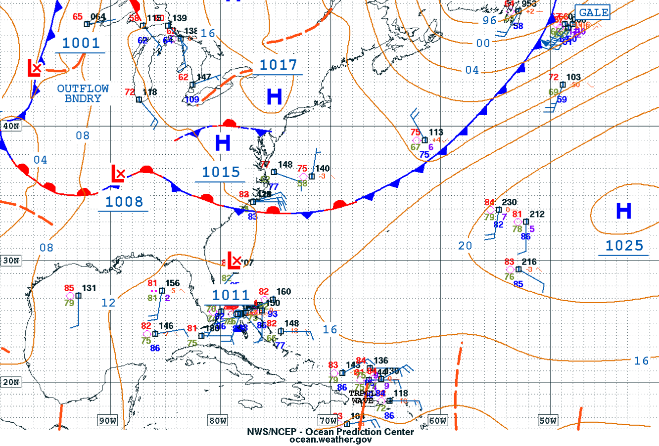
We have a surface low off of the southeastern US coastline that has a decent probability of forming into a tropical depression or tropical storm soon. If that low does start to amplify and swoop out a bit more we’re looking at some tropical swell. If it moves too far away first, gets absorbed into the weak front already above it, and proceeds to amplify closer to Europe we get the big skunk and everyone on the other side of the Atlantic will surf their brains out. PR hasn’t had the magic working for it lately so I’m inclined to go with the scenario where we stay flat and everyone else surfs. But just in case I’m wrong I will leave the satellite image loops running in my browser and check on them constantly over the next few days. In the short term we stay small to flat.

Today

NOAA WaveWatch III Wave Model:

Wave Watch III from NOAA wave prediction model for surfing Puerto Rico.

Forecast Swell Period:

Forecast Winds:

Sat

NOAA WaveWatch III Wave Model:

Wave Watch III from NOAA wave prediction model for surfing Puerto Rico.

Forecast Swell Period:

Forecast Winds:

Sun

NOAA WaveWatch III Wave Model:

Wave Watch III from NOAA wave prediction model for surfing Puerto Rico.

Forecast Swell Period:

Forecast Winds:

Mon

NOAA WaveWatch III Wave Model:

Wave Watch III from NOAA wave prediction model for surfing Puerto Rico.

Forecast Swell Period:

Forecast Winds:

Tue

NOAA WaveWatch III Wave Model:

Wave Watch III from NOAA wave prediction model for surfing Puerto Rico.

Forecast Swell Period:

Forecast Winds:

Wed

NOAA WaveWatch III Wave Model:

Wave Watch III from NOAA wave prediction model for surfing Puerto Rico.

Forecast Swell Period:

Forecast Winds:

Thu

NOAA WaveWatch III Wave Model:

Wave Watch III from NOAA wave prediction model for surfing Puerto Rico.

Forecast Swell Period:

Forecast Winds:

Fri

NOAA WaveWatch III Wave Model:

Wave Watch III from NOAA wave prediction model for surfing Puerto Rico.

Forecast Swell Period:

Forecast Winds:

Atlantic Ocean Satellite Loop

Using Automated Forecast Tools:

Remember that no matter what a computer model tells you, what you see on the beach might be completely different. That's why i go take pictures of the beach every day. These tools help give an idea of what to expect, but weather prediction is not always exact especially the further out you try to forecast. Surf forecasting takes into account the general correlation between past weather data and resulting surf conditions. Another thing to keep in mind is the difference between actual swell height and the face height of the rideable wave it creates. For example. When the waves are forecast to have a 6ft swell at 13 seconds or higher with a NW angle we normally get waves that most people would call double over-head on sets. Swell angle is also important, especially for shorter period swell (9-11 seconds). For example 3ft at 11 seconds from the NW will make a bigger wave than 4ft at 9 seconds from the NE. Normally longer period swell (13+ seconds) will be more powerful and keep the surf size a little better even if the angle isn't a direct hit to Rincon. Generally any swell less than 9 seconds is super weak here in Rincon unless it has a lot of west in it. Also, most NE swell under 12 seconds is weak and mushy. 2ft at 8 seconds is generally small to flat. ENE swell will almost never make it into Rincon unless it was something like 10ft at 18 seconds from the ENE.