Rincon, Puerto Rico Surf Forecast – Dec 6, 2019
High pressure moves in – small surf.
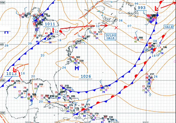
First, let me say that I don’t see it going completely flat. We have a lot of activity in the Atlantic and background swell will persist on and off throughout the forecast period. However, whenever high pressure takes center stage, we see weaker wind swell with a slightly unfavorable angle for Rincon. Again, from what I see in the weather we should still have some waist to chest high days, but don’t expect the bombing NW swell that we’ve seeing the past couple of weeks. The past couple of weeks have been a prime example of favorable angle and the classic conditions that correlate. That’s why I get so excited over NW swell. NE windswell on the other hand always tends to be a bit frustrating for me. This is because it tends to be weaker and mushy. The weekend and early next week will see the death of the NW swell event and the start of the NE windswell event. Here’s how I see things playing out.
Saturday will most likely drop off to waist high with glassy conditions at exposed breaks.
Sunday could possibly see one last NW background pulse fill in before letting high pressure windswell take over. Waist to chest high surf with decent power and angle and glassy conditions should persist through the day.
Monday will be somewhat of a replay of Sunday only more short lived. Expect the winds to pick up considerably around noon and turn everything to wind chop later in the day.
Tuesday is currently forecast to be the official arrival of NE windswell, but no matter what the automated forecast tools tell you, don’t expect more than waist to chest high with weak and mushy conditions. I might be wrong on this (and I hope I am), but high pressure windswell never has the same power as solid groundswell.
Wednesday will probably be a surf lesson wave in the waist high range.
Thursday models are hinting at some long period NE swell to show up in the chest to head high range. We’ll have a better idea by Tuesday if this is going to materialize. I am inclined to believe it as the North Atlantic has been very active so far.
Friday is currently the official arrival of a small sized, long-period NE swell in the chest to head high range. Again I’ll have to confirm this by mid-week next week.
Today
NOAA WaveWatch III Wave Model:

Forecast Swell Period:

Forecast Winds:

Sat
NOAA WaveWatch III Wave Model:

Forecast Swell Period:

Forecast Winds:

Sun
NOAA WaveWatch III Wave Model:

Forecast Swell Period:

Forecast Winds:

Mon
NOAA WaveWatch III Wave Model:

Forecast Swell Period:

Forecast Winds:

Tue
NOAA WaveWatch III Wave Model:

Forecast Swell Period:

Forecast Winds:

Wed
NOAA WaveWatch III Wave Model:

Forecast Swell Period:

Forecast Winds:

Thu
NOAA WaveWatch III Wave Model:

Forecast Swell Period:

Forecast Winds:

Fri
NOAA WaveWatch III Wave Model:

Forecast Swell Period:

Forecast Winds:


