Rincon, Puerto Rico Surf Forecast – Nov 27, 2019

Models trending on large NW swell for Rincon, Puerto Rico.
Just about every forecast model has been calling for the massive winter storm currently over the eastern United States to pull out in the Atlantic and bomb out. The predicted winds and pressure drop are looking like a classic cold-front setup with classic swell. This should be a 5 day swell event. If the storm really does swoop out as forecast, we could possibly see some fun NW swell creep in on Saturday before getting the full blast on Sunday. But Sunday and Monday have been consistently pegged as being some solid double overhead days with bigger sets. The NW angle is ideal for Rincon. This is going to be a good run of swell. Here’s how I see it playing out:
Thursday will see a fun surf lesson wave in the waist high range at exposed breaks.
Friday will pretty much be a repeat of Thursday but with lighter winds in the morning.
Saturday will most likely start out small but increase in size every hour on the hour and end up a few feet overhead by sundown. If the winds stay light, all Rincon spots will be firing as the swell comes in. NW angled swell really lights up Rincon.
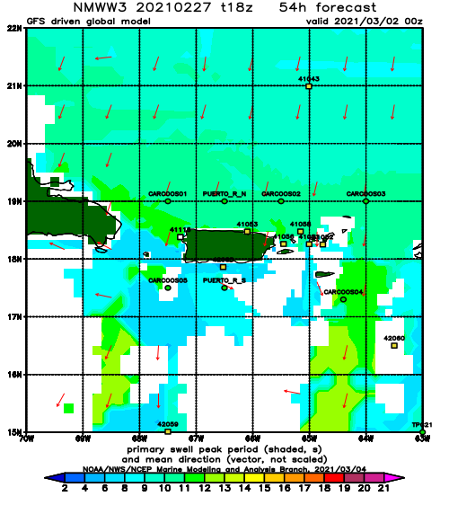
Sunday will be at least double overhead and strong. The NW angle and longer period will result in open barrels at many spots. The conditions will be big and heavy.
Monday will see the swell angle change so anticipate a slight change in the the power. However, big surf will persist this entire day.
Tuesday the surf will fade a little but still remain head high with bigger sets.
Wednesday another NW swell is supposed to fill in keeping the surf head high with bigger sets.
Today
NOAA WaveWatch III Wave Model:
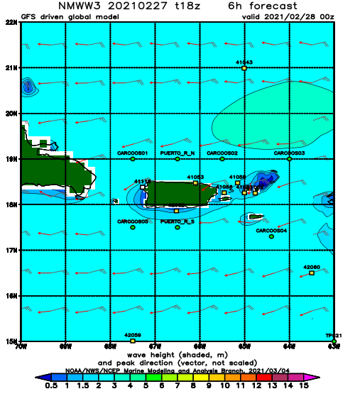
Forecast Swell Period:
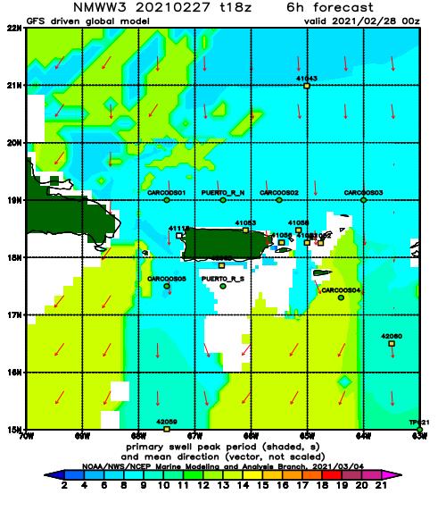
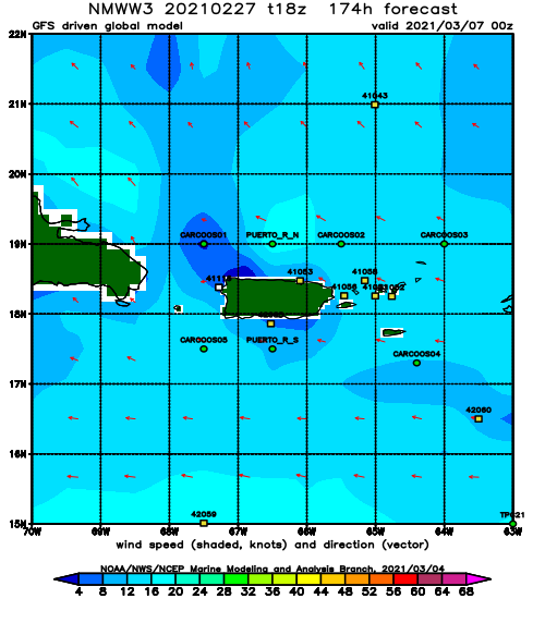
Forecast Winds:
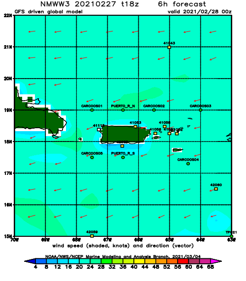
Sat
NOAA WaveWatch III Wave Model:
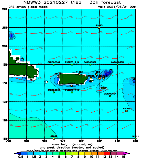
Forecast Swell Period:
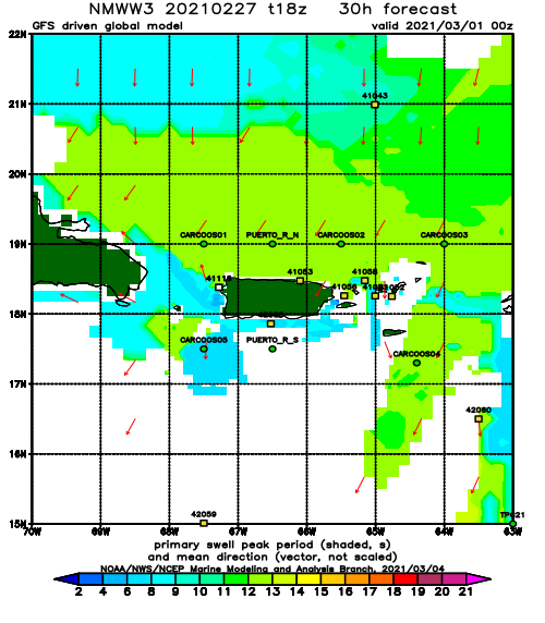
Forecast Winds:
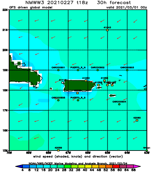
Sun
NOAA WaveWatch III Wave Model:
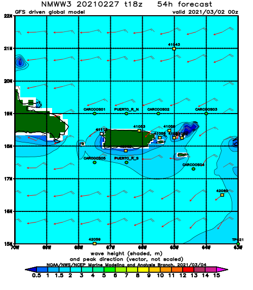
Forecast Swell Period:
Forecast Winds:
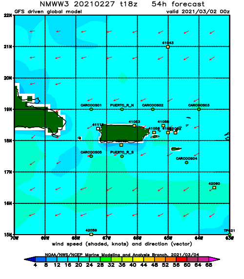
Mon
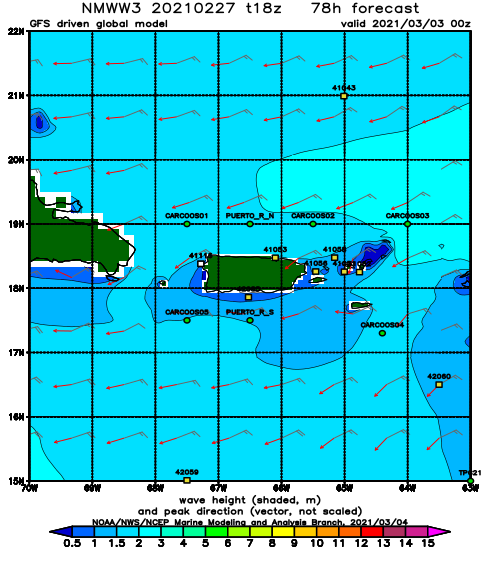
NOAA WaveWatch III Wave Model:
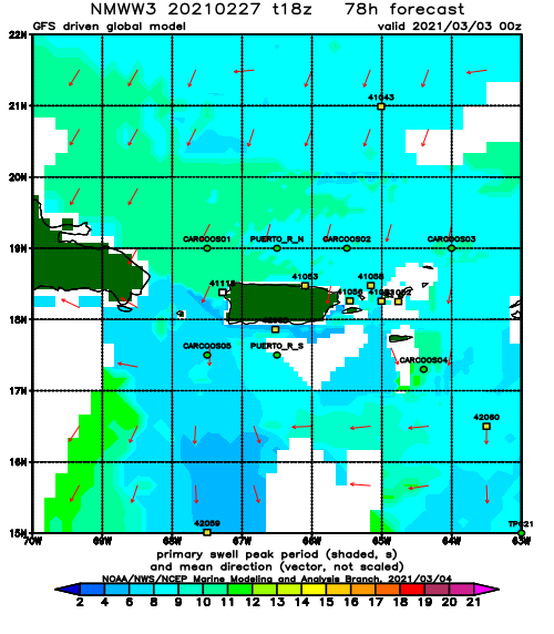
Forecast Swell Period:
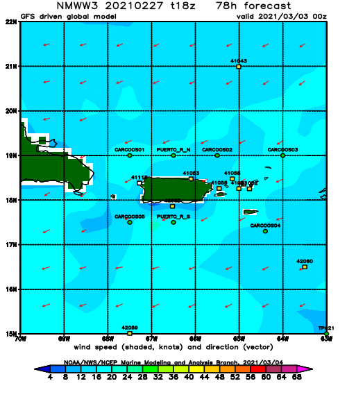
Forecast Winds:
Tue
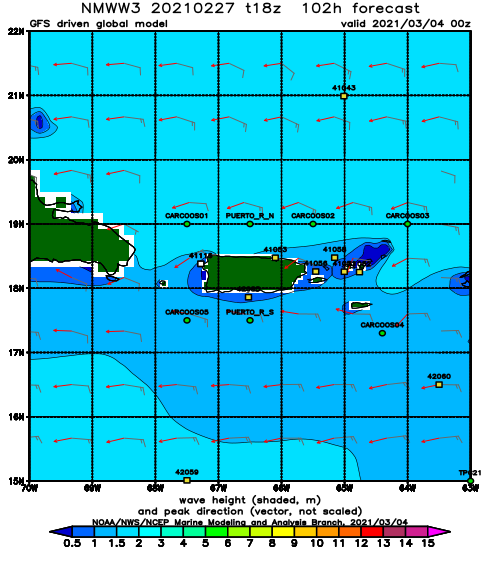
NOAA WaveWatch III Wave Model:
Forecast Swell Period:
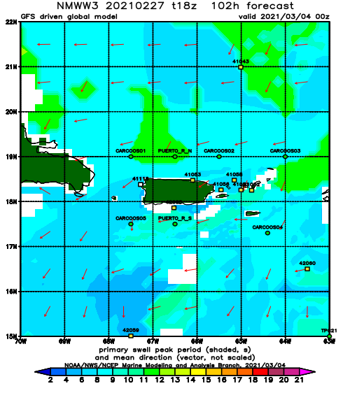
Forecast Winds:
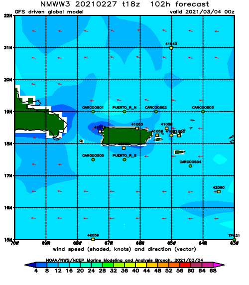
Wed
NOAA WaveWatch III Wave Model:
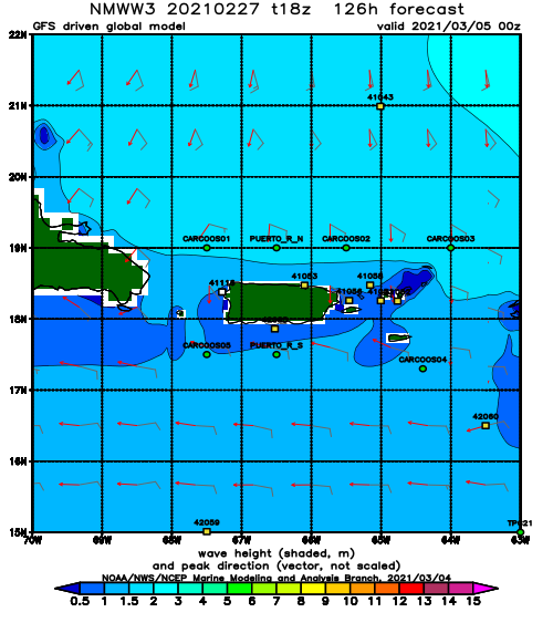
Forecast Swell Period:
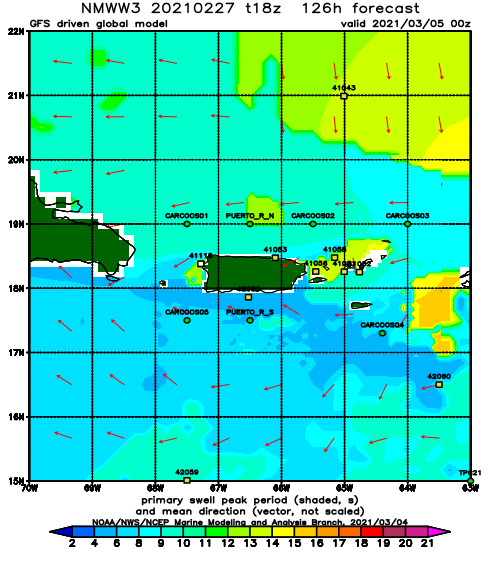
Forecast Winds:
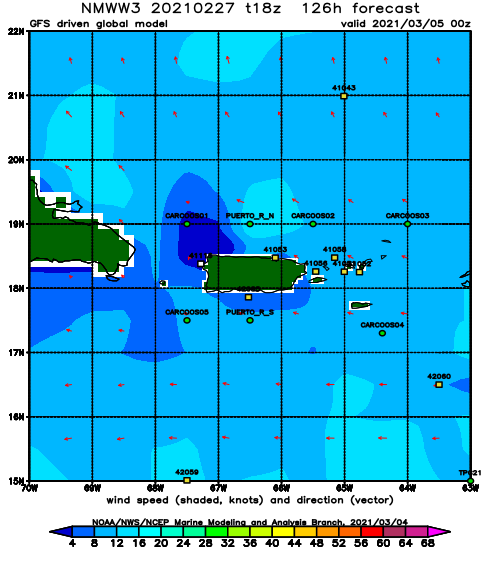
Thu
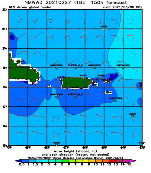
NOAA WaveWatch III Wave Model:
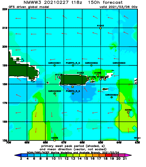
Forecast Swell Period:
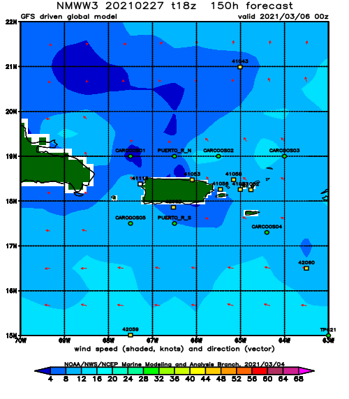
Forecast Winds:
Fri
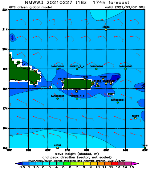
NOAA WaveWatch III Wave Model:
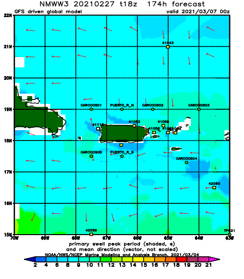
Forecast Swell Period:
Forecast Winds:
