Rincon, Puerto Rico Surf Forecast – Nov 22, 2019
Sloppy choppy surf for Rincon then good again.
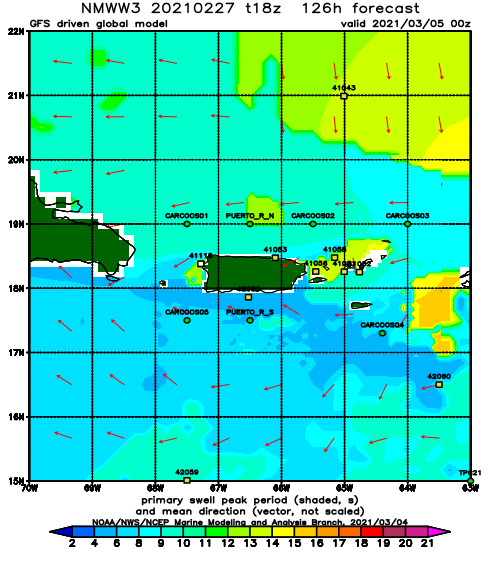
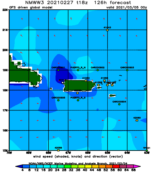
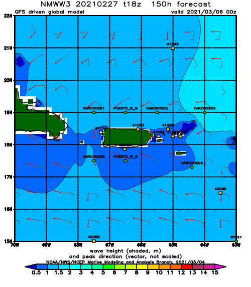
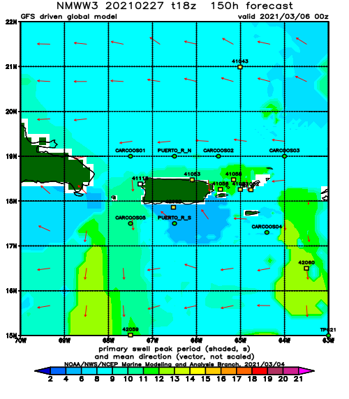
The next couple of days will feature heavy winds and choppy conditions. However, after the initial wind chop we should see some fun clean-up days with light winds. Remember though that shorter period waves tend to not have too much push. Pick a spot that normally has a little more punch or you might get a bit frustrated on the clean-up days. We have had a super long fetch pushing the Western Atlantic at us for a few days now. I find it hard to believe that we won’t see at least a couple of days of chest to head high surf for the clean-up starting Sunday. Here’s how I see things playing out:
Friday will have overhead sloppy choppy waves and heavy winds. The initial push of heavy wind chop and shorter period swell might make it difficult for super tucked away spots to start working.
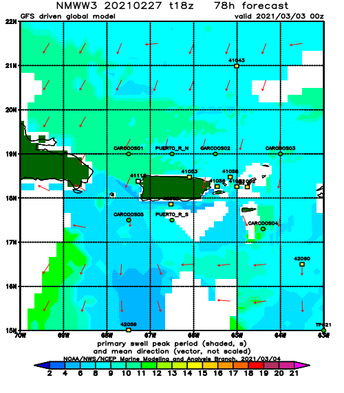
Saturday should see a slight improvement here in Rincon, but most exposed breaks up north will stay wind blown and garbage. Expect head high surf at the tucked away spots in Rincon with slightly wobbly lines. The afternoon will see more carnage from the wind and turn back into victory at sea conditions.
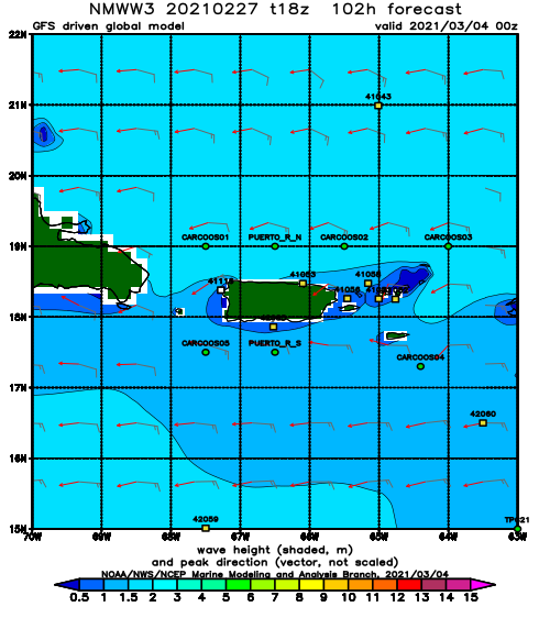
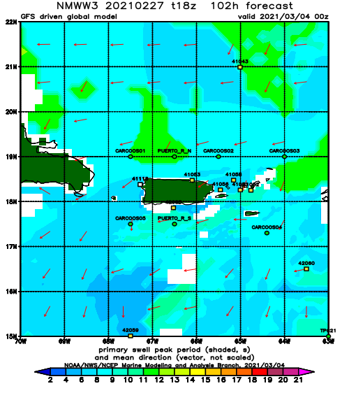
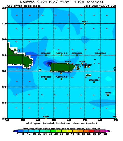
Sunday the winds are forecast to drop off to nothing here in Rincon. This will be the first cleanup day and the exposed spots should be fun with clean conditions and chest to head high surf at exposed breaks. I anticipate crowds to be very heavy, but I also anticipate several waves in each set and several sets back to back. The amount of waves may supply enough action for the crowds. Also expect a lot of paddling.
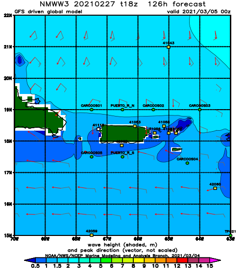
Monday should stay around chest to head high with clean conditions and be fun everywhere. No need to crowd a single peak on this day.
Today
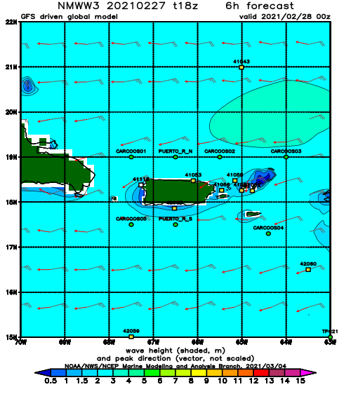
NOAA WaveWatch III Wave Model:
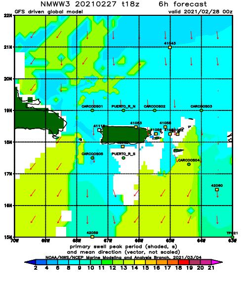
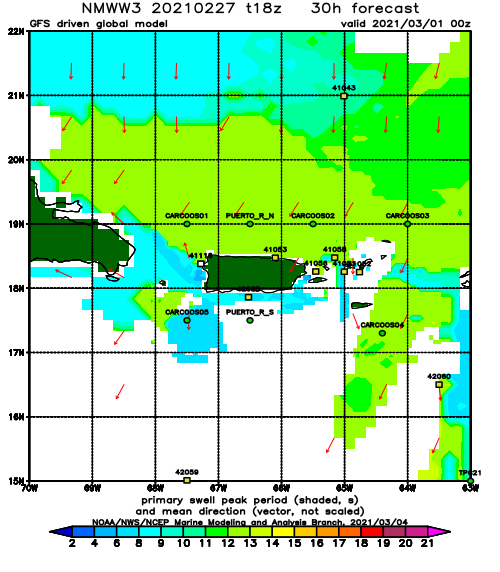
Forecast Swell Period:
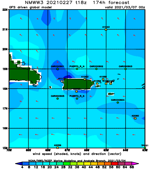
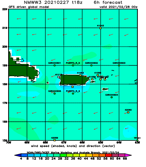
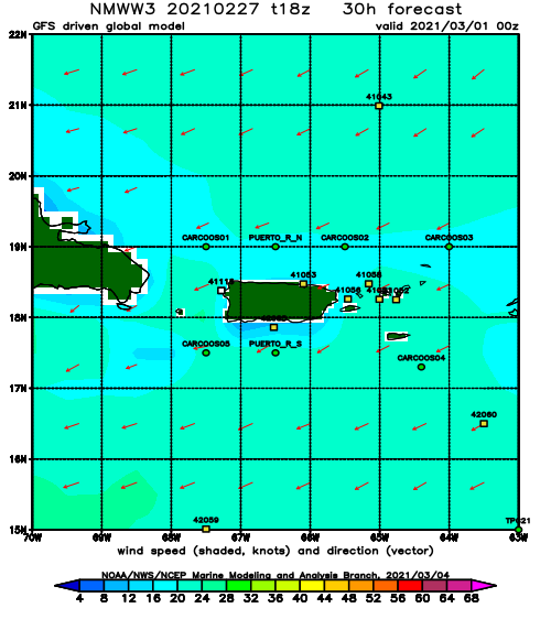
Forecast Winds:
Thu
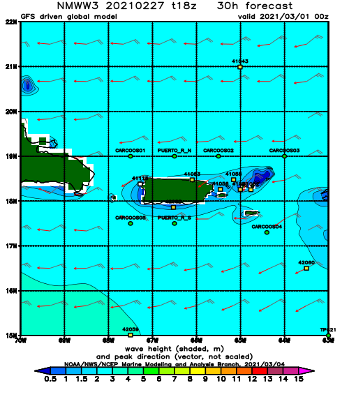
NOAA WaveWatch III Wave Model:
Forecast Swell Period:
Forecast Winds:
Fri
NOAA WaveWatch III Wave Model:
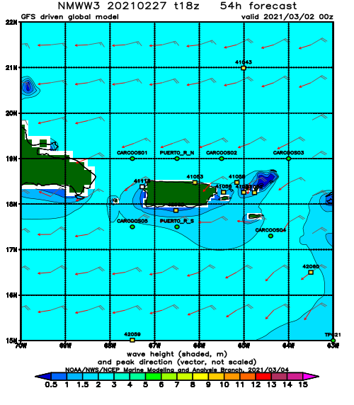
Forecast Swell Period:
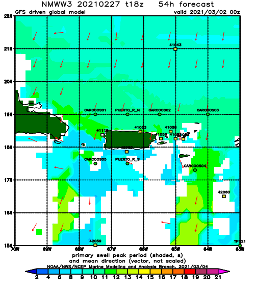
Forecast Winds:
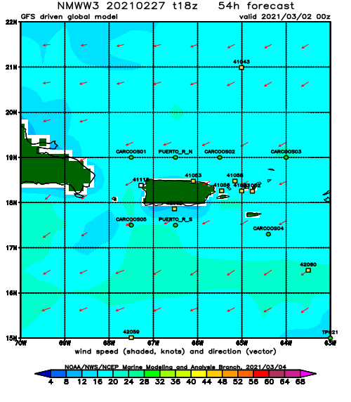
Sat
NOAA WaveWatch III Wave Model:
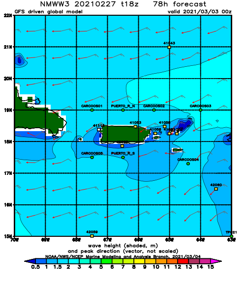
Forecast Swell Period:
Forecast Winds:
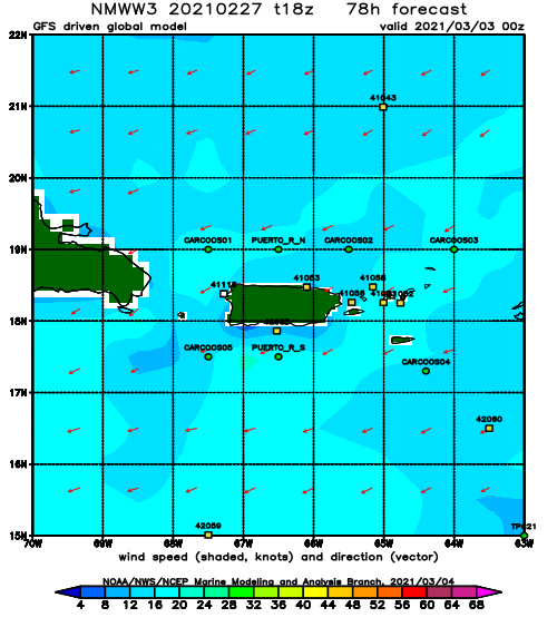
Sun
NOAA WaveWatch III Wave Model:
Forecast Swell Period:
Forecast Winds:
Mon
NOAA WaveWatch III Wave Model:
Forecast Swell Period:
Forecast Winds:
Tue
NOAA WaveWatch III Wave Model:
Forecast Swell Period:
Forecast Winds:
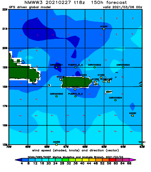
Wed
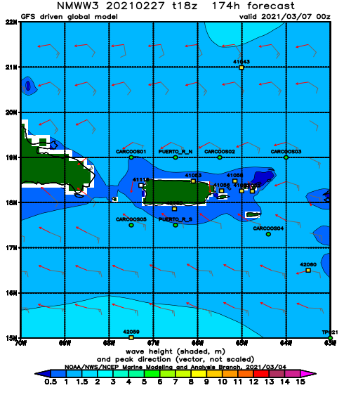
NOAA WaveWatch III Wave Model:
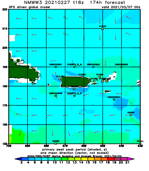
Forecast Swell Period:
Forecast Winds:
