Rincon, Puerto Rico Surf Forecast – Feb 24, 2020

More surf for Rincon.

More Surf For Rincon!

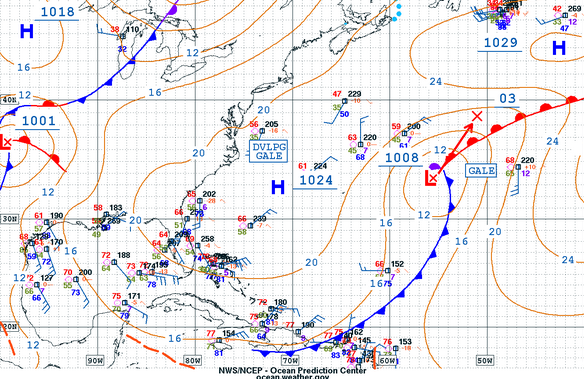
We should have a fun week of waves followed by another decent sized swell for next week. Expect each day of the week to drop down a notch starting from now. For example since today is still a couple of feet overhead I’m expecting tomorrow (Tuesday) to be around head high. Wednesday will most likely be chest high with some head high sets on occasion. Thursday will be around waist to chest high. Friday might be the same but a little less consistent. Saturday will be surf lessons mania with some knee to waist high surf. Sunday we see the next pulse start to fill in that should arrive fully by next Monday. This is actually a very common pattern for this time of year so I wouldn’t be surprised to see weekly swell events continue.

Today

NOAA WaveWatch III Wave Model:

Wave Watch III from NOAA wave prediction model for surfing Puerto Rico.

Forecast Swell Period:

Forecast Winds:

Sat

NOAA WaveWatch III Wave Model:

Wave Watch III from NOAA wave prediction model for surfing Puerto Rico.

Forecast Swell Period:

Forecast Winds:

Sun

NOAA WaveWatch III Wave Model:

Wave Watch III from NOAA wave prediction model for surfing Puerto Rico.

Forecast Swell Period:

Forecast Winds:

Mon

NOAA WaveWatch III Wave Model:

Wave Watch III from NOAA wave prediction model for surfing Puerto Rico.

Forecast Swell Period:

Forecast Winds:

Tue

NOAA WaveWatch III Wave Model:

Wave Watch III from NOAA wave prediction model for surfing Puerto Rico.

Forecast Swell Period:

Forecast Winds:

Wed

NOAA WaveWatch III Wave Model:

Wave Watch III from NOAA wave prediction model for surfing Puerto Rico.

Forecast Swell Period:

Forecast Winds:

Thu

NOAA WaveWatch III Wave Model:

Wave Watch III from NOAA wave prediction model for surfing Puerto Rico.

Forecast Swell Period:

Forecast Winds:

Fri

NOAA WaveWatch III Wave Model:

Wave Watch III from NOAA wave prediction model for surfing Puerto Rico.

Forecast Swell Period:

Forecast Winds:

National Hurricane Forecast Center
Atlantic Ocean Satellite Loop

Using Automated Forecast Tools:

Remember that no matter what a computer model tells you, what you see on the beach might be completely different. That's why i go take pictures of the beach every day. These tools help give an idea of what to expect, but weather prediction is not always exact especially the further out you try to forecast. Surf forecasting takes into account the general correlation between past weather data and resulting surf conditions. Another thing to keep in mind is the difference between actual swell height and the face height of the rideable wave it creates. For example. When the waves are forecast to have a 6ft swell at 13 seconds or higher with a NW angle we normally get waves that most people would call double over-head on sets. Swell angle is also important, especially for shorter period swell (9-11 seconds). For example 3ft at 11 seconds from the NW will make a bigger wave than 4ft at 9 seconds from the NE. Normally longer period swell (13+ seconds) will be more powerful and keep the surf size a little better even if the angle isn't a direct hit to Rincon. Generally any swell less than 9 seconds is super weak here in Rincon unless it has a lot of west in it. Also, most NE swell under 12 seconds is weak and mushy. 2ft at 8 seconds is generally small to flat. ENE swell will almost never make it into Rincon unless it was something like 10ft at 18 seconds from the ENE.