Rincon, Puerto Rico Surf Forecast – Feb 4, 2020
High pressure, small surf
High pressure is forecast to take center stage for a little bit. Whenever this happens we get some smaller scale wind swell until the next major weather system pushes through. My guess is that by the middle of this month we will start to see some larger swells develop. Whenever we end up with a break for a week or so the Atlantic this time of year something big gets going. I’m inclined to believe that March is going to rage as well out of anticipation for some more hybrid storms. The ocean water temps have maintained a pretty warm temperature around the island throughout December and January. Heat is energy. That energy can feed into some storms eventually. You might be wondering, “why is he hyping up so far out?” Well, we all need something to look forward to when it’s about to go small to flat for a little bit. Wind chop should persist in the head high range on the North side of the island the next week and a half though so there should be plenty of opportunities to maintain sanity should we come up on a full on flatspell. In the short term, I’m seeing some decent leftovers early tomorrow morning that will fade out rather quickly. After that another chest high pulse could show up on Sunday. Besides that it’s looking kinda grim. I hope I’m wrong and huge winter storm jumps out in the Atlantic and changes everything.
Today
NOAA WaveWatch III Wave Model:

Forecast Swell Period:

Forecast Winds:

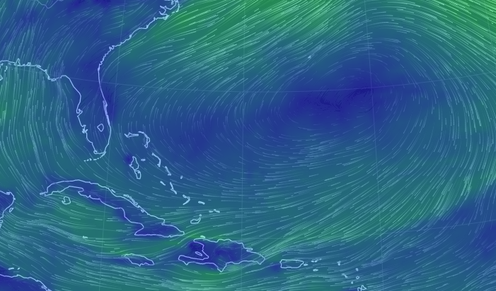
Thu
NOAA WaveWatch III Wave Model:

Forecast Swell Period:

Forecast Winds:

Fri
NOAA WaveWatch III Wave Model:

Forecast Swell Period:

Forecast Winds:

Sat
NOAA WaveWatch III Wave Model:

Forecast Swell Period:

Forecast Winds:

Sun
NOAA WaveWatch III Wave Model:

Forecast Swell Period:

Forecast Winds:

Mon
NOAA WaveWatch III Wave Model:

Forecast Swell Period:

Forecast Winds:

Tue
NOAA WaveWatch III Wave Model:

Forecast Swell Period:

Forecast Winds:

Wed
NOAA WaveWatch III Wave Model:

Forecast Swell Period:

Forecast Winds:


