Rincon, Puerto Rico Surf Forecast – Jan 30, 2020
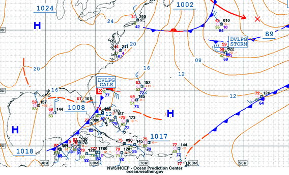
Weaker weather, smaller waves, still surf.
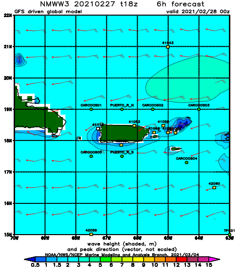
I get it, after one of the biggest swells we’ve seen in years followed up by another decent sized NW swell it’s hard to get get excited about smaller waves, but remember – small doesn’t always mean flat. The surf doesn’t have to be double overhead to have fun. Even though this weekend won’t pack the same punch as the previous two swells, I see plenty of opportunities for some fun sessions before the next swell with overhead surf gets here on Tuesday. Here’s how I see things playing out:
Thursday will most likely start of very small with dead winds and be perfect for beginner surf lessons or any calm water activity. Some NW swell should creep in around lunch time and last the rest of the day.
Friday the leftovers from whatever shows up from this NW pulse that is on the outside buoys linger on with most likely some waist to chest high surf at the most exposed spots in Rincon. The wind might pick up in the afternoon so early morning is the best call for a glassy session.
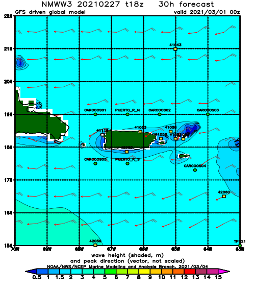
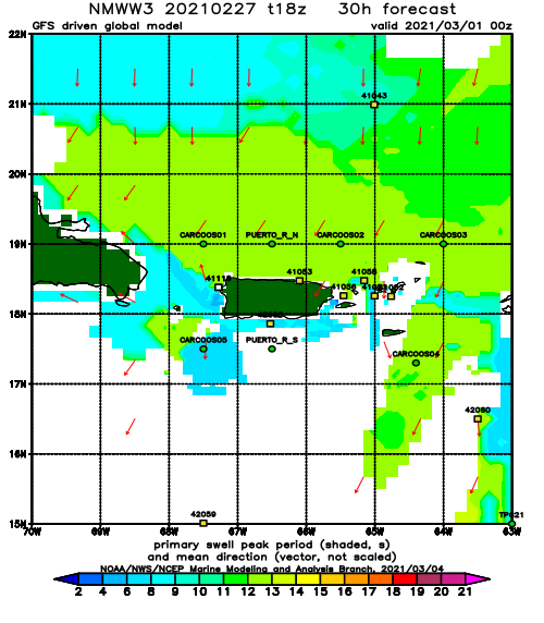
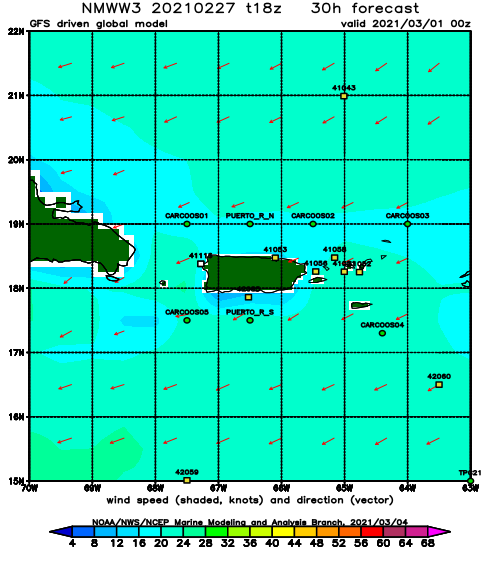
Saturday has the possibility of keeping the waist to chest high surf alive with some N angled background swell filling in. I would say this day will be a bit more tide sensitive that most days.
Sunday should also keep the waist to chest high surf alive but with a little less power as the angle will not be a direct hit.
Monday is currently not forecast to go flat, but I wouldn’t be surprised if it does. I’ll split the difference with the models and say waist high surf lesson wave.
Tuesday should see the arrival of the next major pulse in the 2ft overhead range at all Rincon breaks. The surf may start off a little on the small side in the early morning but I’m anticipating at least 2ft overhead by the mid-day.
Today
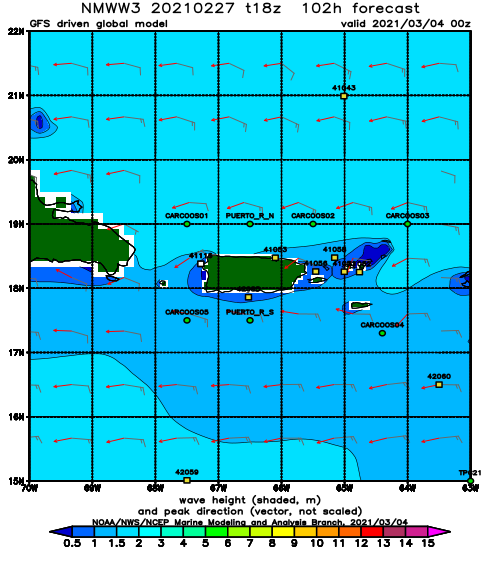
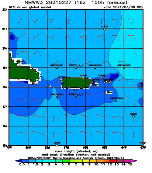
NOAA WaveWatch III Wave Model:
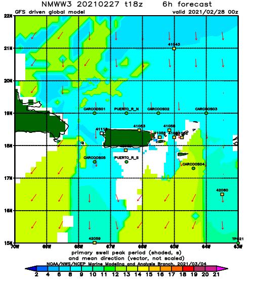
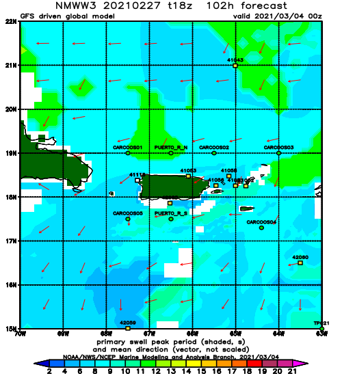
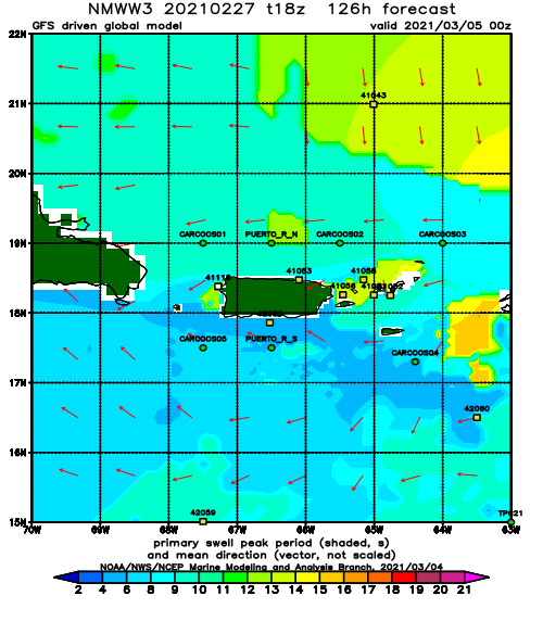
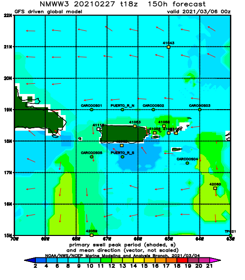
Forecast Swell Period:
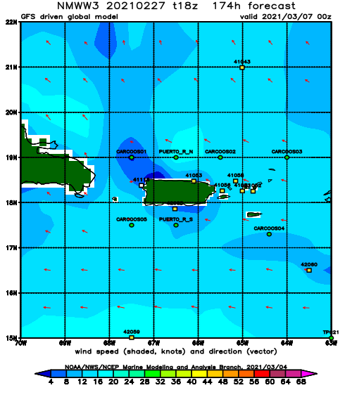
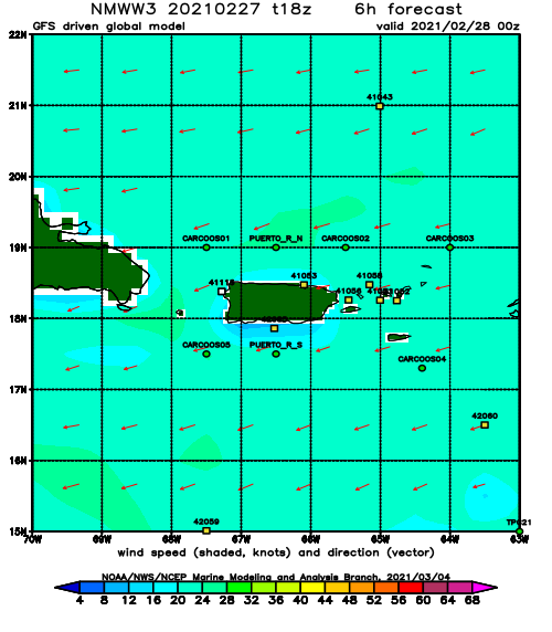
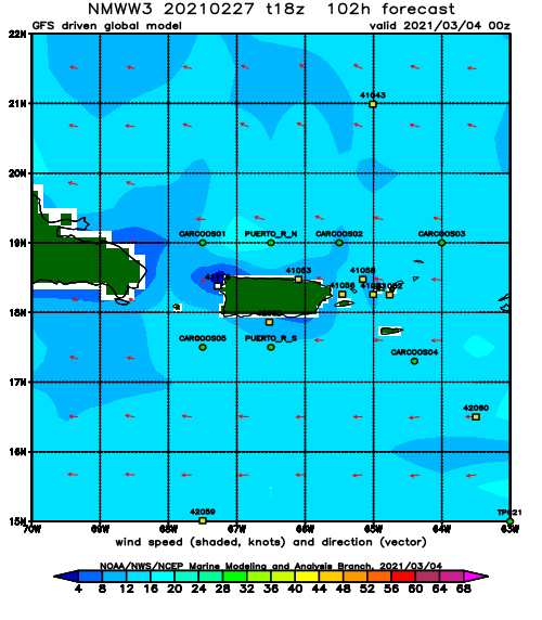
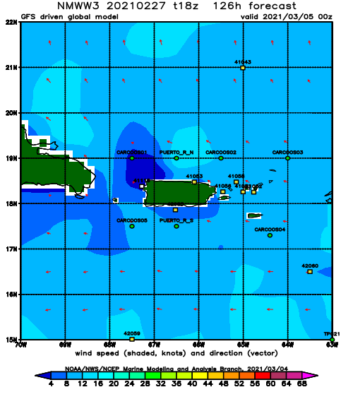
Forecast Winds:
Sat
NOAA WaveWatch III Wave Model:
Forecast Swell Period:
Forecast Winds:
Sun
NOAA WaveWatch III Wave Model:
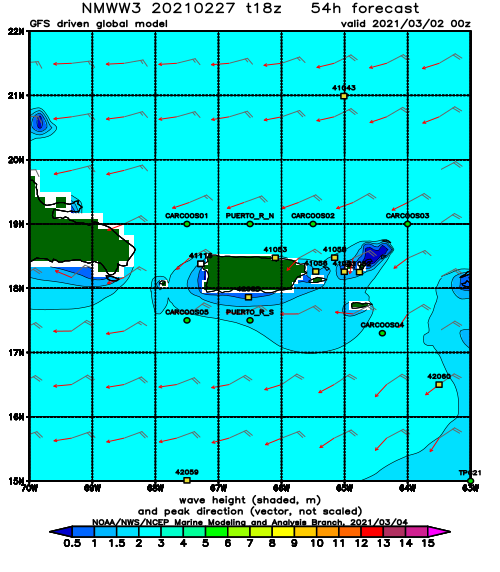
Forecast Swell Period:
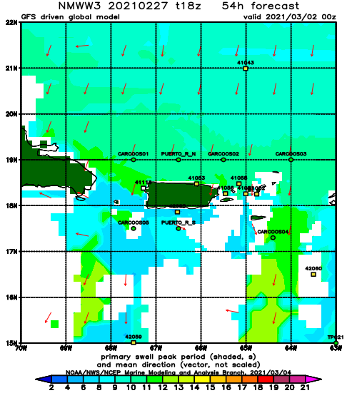
Forecast Winds:
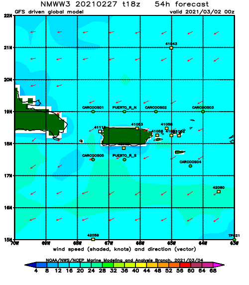
Mon
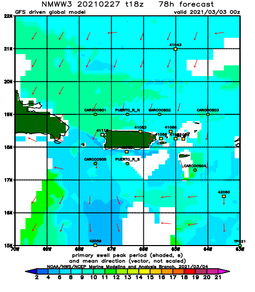
NOAA WaveWatch III Wave Model:
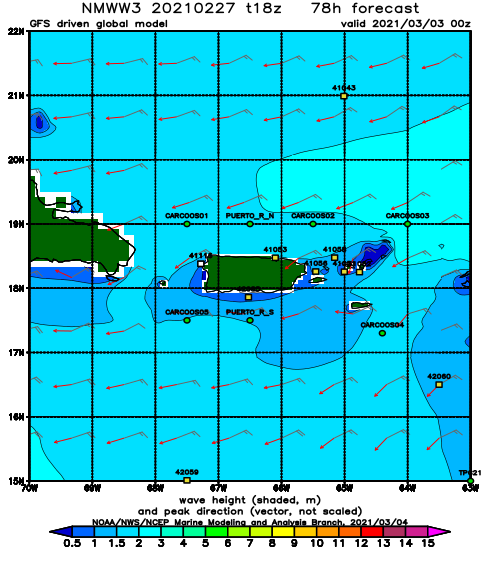
Forecast Swell Period:
Forecast Winds:
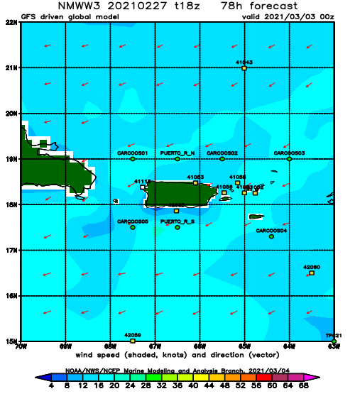
Tue
NOAA WaveWatch III Wave Model:
Forecast Swell Period:
Forecast Winds:
Wed
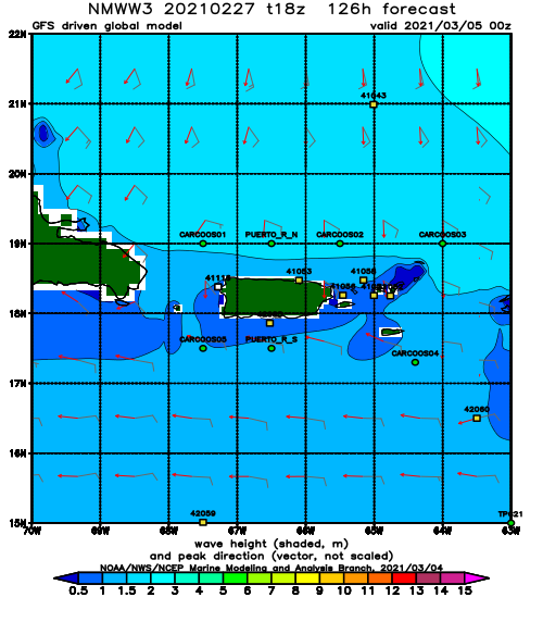
NOAA WaveWatch III Wave Model:
Forecast Swell Period:
Forecast Winds:
Thu
NOAA WaveWatch III Wave Model:
Forecast Swell Period:
Forecast Winds:
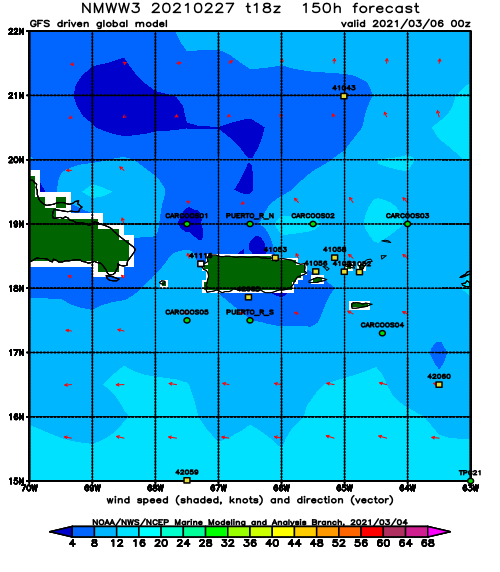
Fri
NOAA WaveWatch III Wave Model:
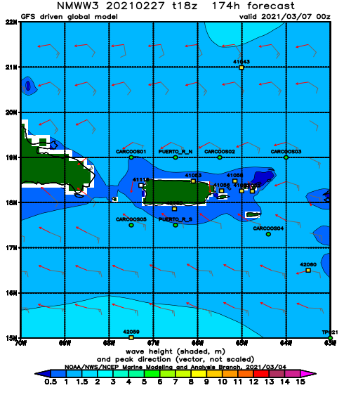
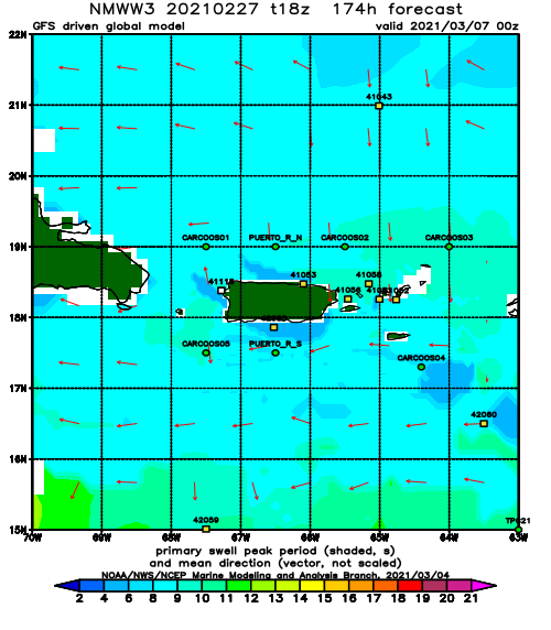
Forecast Swell Period:
Forecast Winds:
