Rincon Puerto Rico Surf Forecast – Feb 8, 2016

Surfing NW swell in Rincon all week – happy dance!
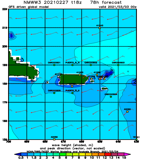
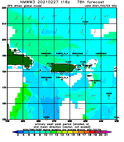
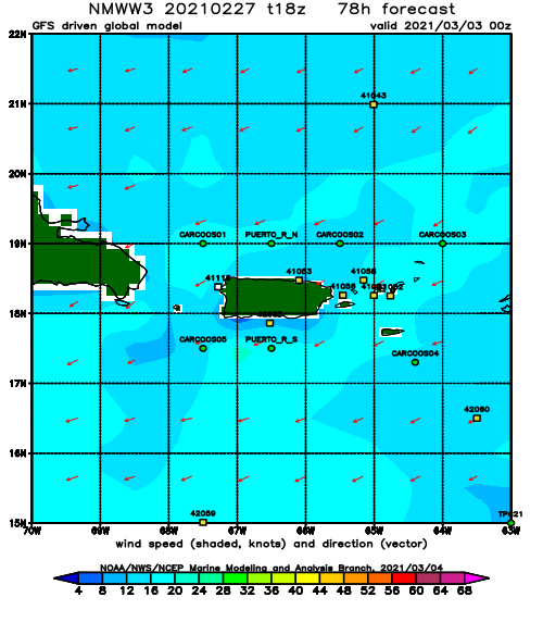
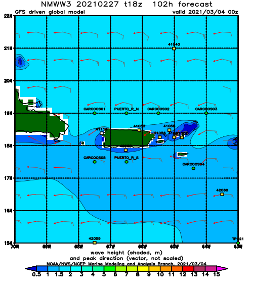
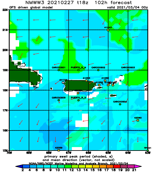
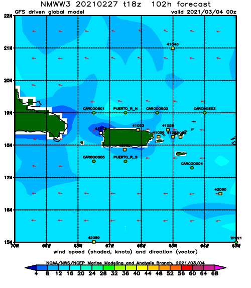
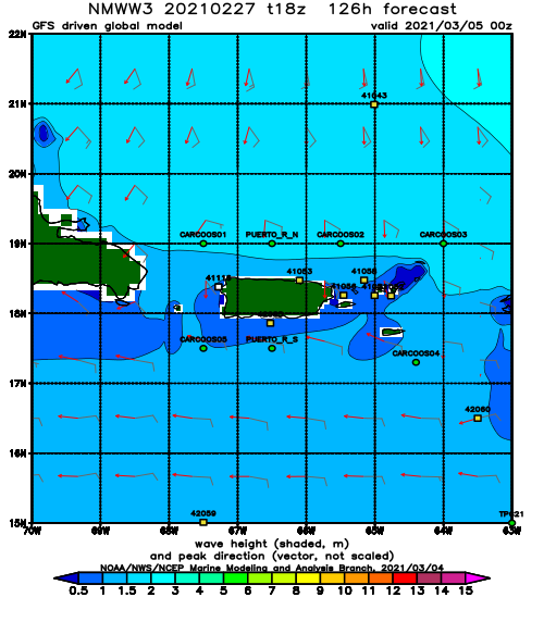
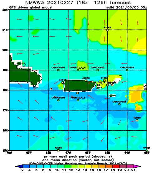
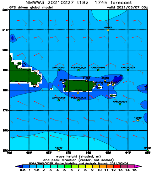
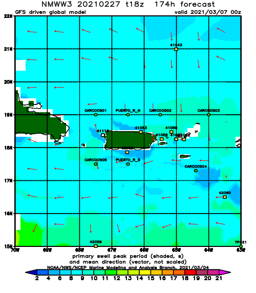
The buoys are firing! This swell is gonna rage. The wind is the hard part to predict. From the looks of things, we’ll have glassy conditions everywhere in the early morning hours and every spot should be working. In the afternoons we might have onshore seabreeze everywhere or dead winds at random unless something more dominant takes control of the wind. I still expect to see some double overhead conditions when the bulk of the pulse shows up either tomorrow or Wednesday, but for the most part this swell shouldn’t be out of control. The surf should be powerful and have decent form. I love NW swell. This storm dipped off the states below NC so we should see a lot of west in this swell. The Bahamas buoy is currently reading 14ft at 13 seconds from the WNW. I expect to see at least half of that reach into Rincon with another few seconds on the period for good measure out of the NW. This storm looks beautiful on sat images! It’s moving away from us fairly quickly, but some decent fetch should setup behind it. I expect chest to head high conditions to persist through the end of the week and hopefully into the weekend. Tuesday/Wednesday will be considerably larger with some double overhead sets.
Today
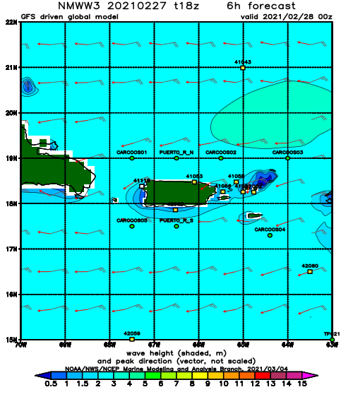
NOAA WaveWatch III Wave Model:
Forecast Swell Period:
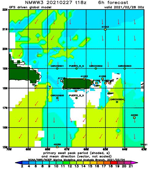
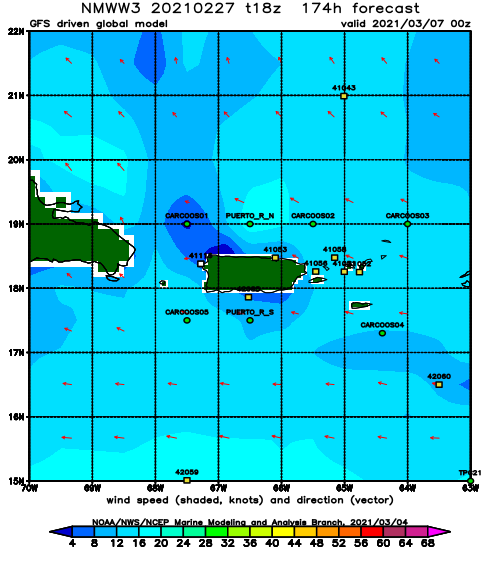
Forecast Winds:
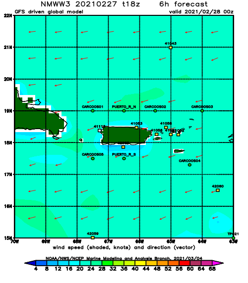
Sat
NOAA WaveWatch III Wave Model:
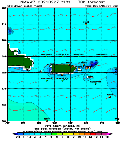
Forecast Swell Period:
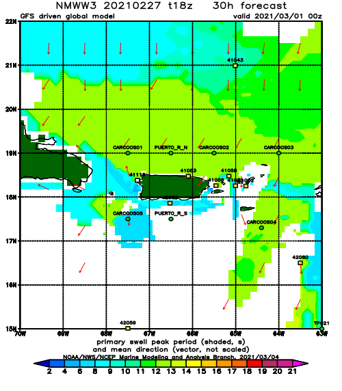
Forecast Winds:
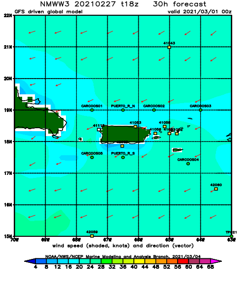
Sun
NOAA WaveWatch III Wave Model:
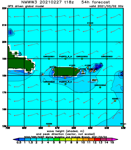
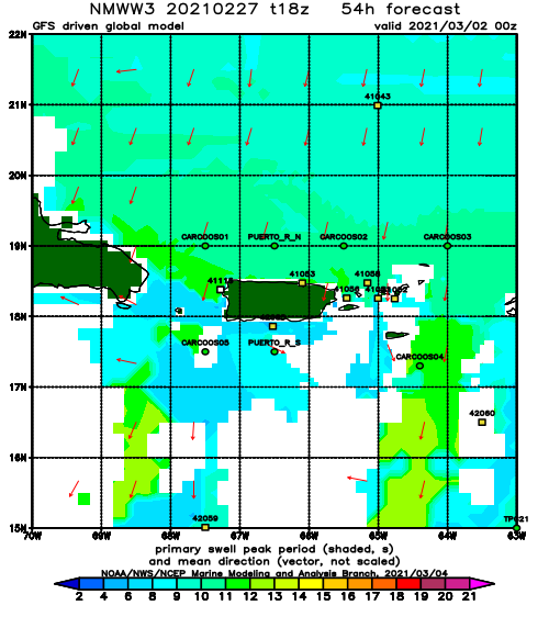
Forecast Swell Period:
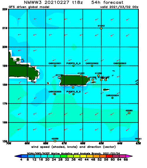
Forecast Winds:
Mon
NOAA WaveWatch III Wave Model:
Forecast Swell Period:
Forecast Winds:
Tue
NOAA WaveWatch III Wave Model:
Forecast Swell Period:
Forecast Winds:
Wed
NOAA WaveWatch III Wave Model:
Forecast Swell Period:
Forecast Winds:
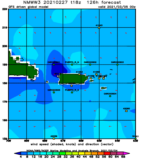
Thu
NOAA WaveWatch III Wave Model:
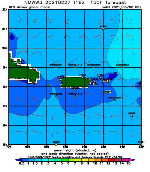
Forecast Swell Period:
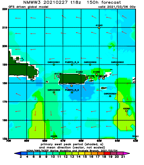
Forecast Winds:
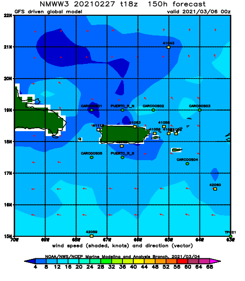
Fri
NOAA WaveWatch III Wave Model:
Forecast Swell Period:
Forecast Winds:
