Rincon, Puerto Rico Surf Forecast – Jan 25, 2015
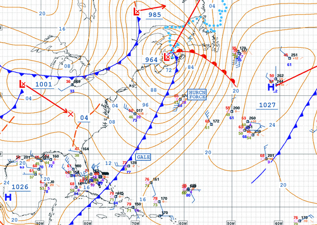
Get ready for what might be the best week of the season!
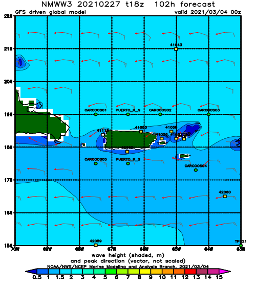
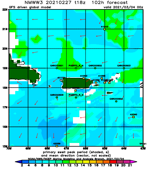
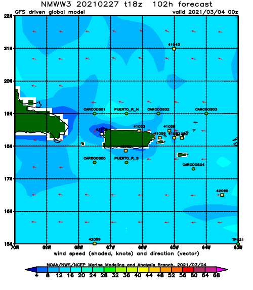
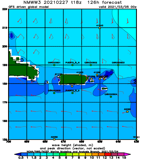
We are looking a 5 to 7 day run of swell with a couple big days in the mix and a non-holiday weekend. This means crowds “should” be lighter and the multiple days of swell often lead to low-crowd opportunities throughout the week. For me that is what might make this the best week of the season, but another good component is that there is a double pulse of NW swell in the coming week. The NW swell angle with light winds most of the days means that just about every spot in Rincon will be working, which is great for wave quality and another plus for light crowd opportunities. I really hope that this week happens like it’s currently forecast. Weeks like this is what helped me fall in love with this place to begin with. We used to see weeks like this a lot more often. I’m super stoked to have one again now.
Here’s the breakdown:
Monday: Flat (like really flat).
Tuesday: Waist to Chest High with light winds.
Wednesday: Waist to Chest High with light winds.
Thursday: 2-4ft Overhead and bigger with hard ENE winds. The tucked away spots will be cleanest.
Friday: 2-4ft Overhead with less wind than Thursday. The swell will drop off a little in the afternoon.
Saturday: Head High with some bigger sets and light winds. The swell will fade through the day.
Sunday: Chest High leftovers with light winds and fading swell strength and swell angle through the day which will drop it down to waist to chest high and make the waves a little mushier than the previous days in the afternoon.
Note: Thursday and Friday could easily end up seeing double overhead and bigger at some spots if the weather cooperates.
Today
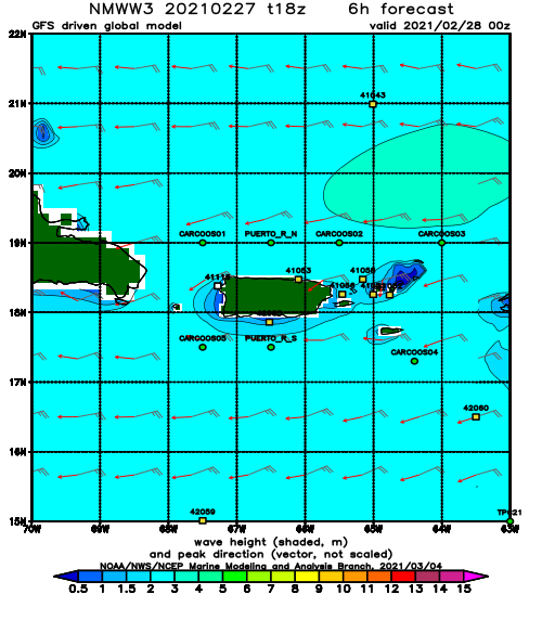
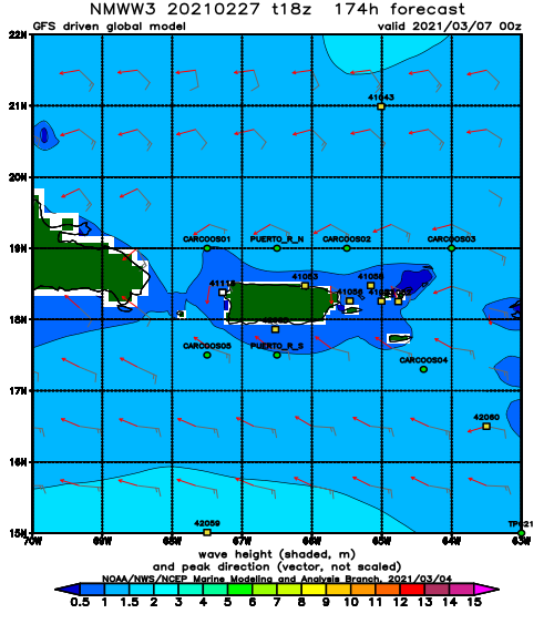
NOAA WaveWatch III Wave Model:
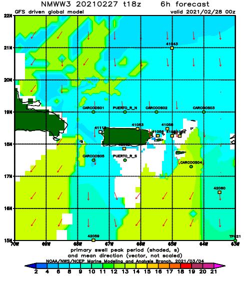
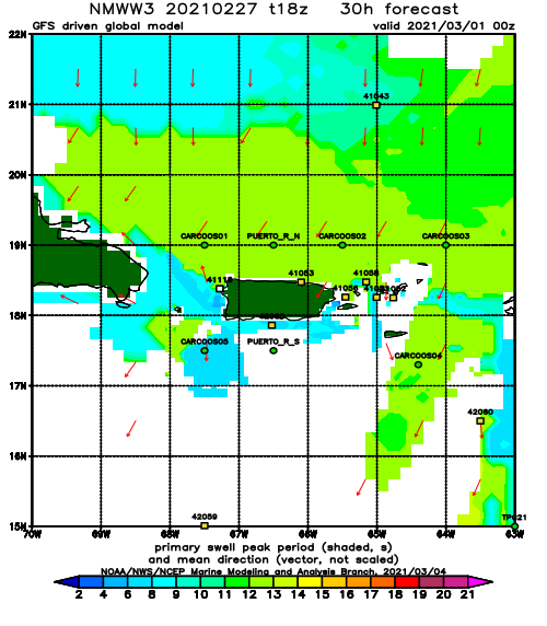
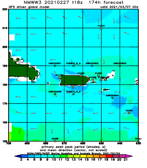
Forecast Swell Period:
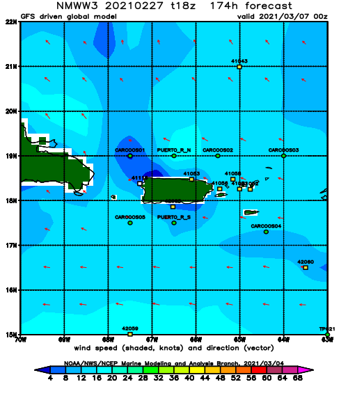
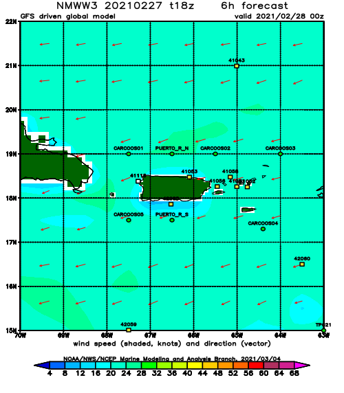
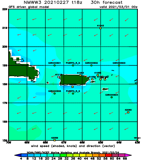
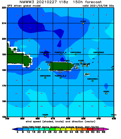
Forecast Winds:
Sat
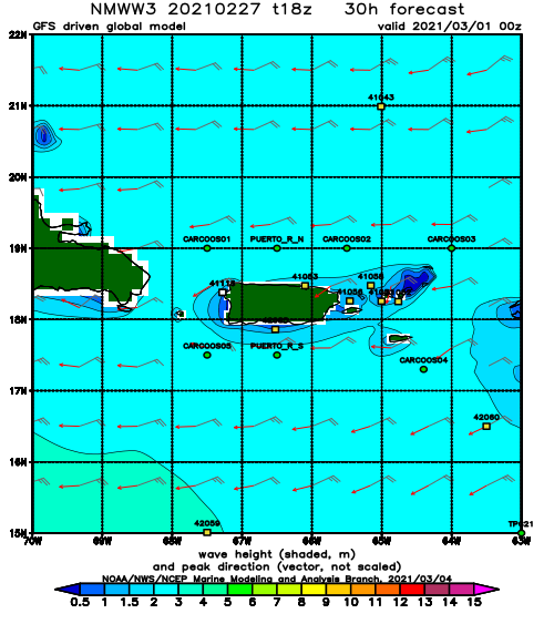
NOAA WaveWatch III Wave Model:
Forecast Swell Period:
Forecast Winds:
Sun
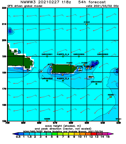
NOAA WaveWatch III Wave Model:
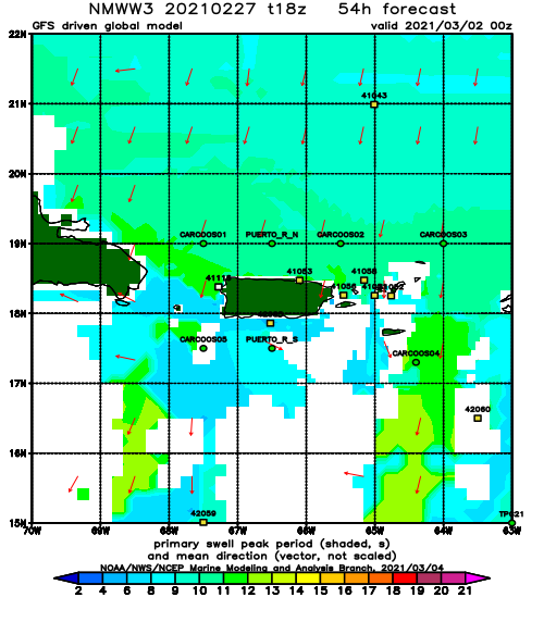
Forecast Swell Period:
Forecast Winds:
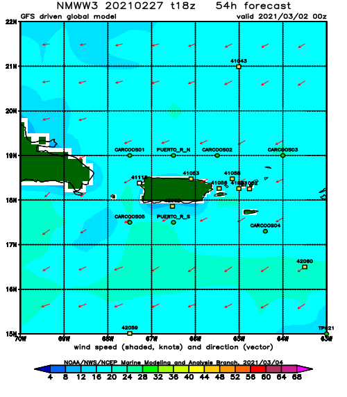
Mon
NOAA WaveWatch III Wave Model:
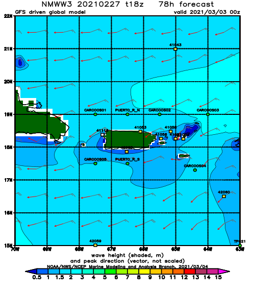
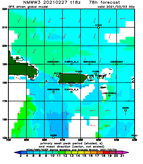
Forecast Swell Period:
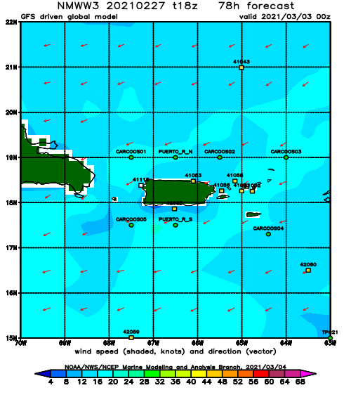
Forecast Winds:
Tue
NOAA WaveWatch III Wave Model:
Forecast Swell Period:
Forecast Winds:
Wed
NOAA WaveWatch III Wave Model:
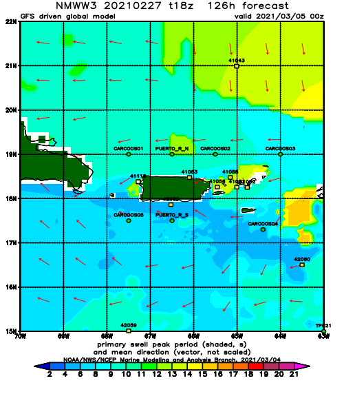
Forecast Swell Period:
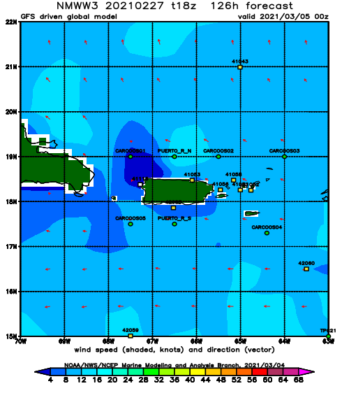
Forecast Winds:
Thu
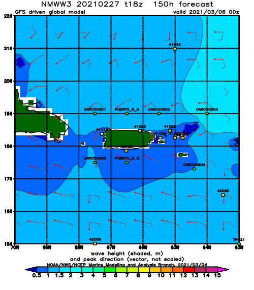
NOAA WaveWatch III Wave Model:
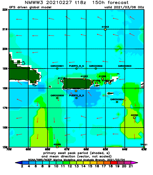
Forecast Swell Period:
Forecast Winds:
Fri
NOAA WaveWatch III Wave Model:
Forecast Swell Period:
Forecast Winds:
