Rincon, Puerto Rico Surf Forecast – Jan 31, 2017
Plenty of weather to generate some surf for Rincon, Puerto Rico!
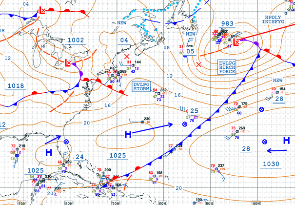
That gigantic winter storm in the North Atlantic screams long period swell in the making to me for the long range. We’ve had a continuous run of NW winds off the United States for a few days straight too so the short term looks decent with more smaller scale NW swell. NW doesn’t need to look too big on paper to be decent here in Rincon. It’s more of a straight shot and hits our surf spots better than other angles. This is why the past few days have been so fun even though it’s not the biggest. The rest of the week should have some waist to chest high surf with the biggest day probably being tomorrow with some head high sets on occasion at the most exposed breaks. It’s a simple forecast, but it’s most likely to stick.
When is the next big swell?
Remember when I mentioned a huge storm system in the pacific a few weeks back and then the following week we had several days of double overhead waves? I see something similar happening again. The Pacific is lighting up once again and I’m hoping it can swing and swoop something major across the US and into the Atlantic. Last time was more a Jetstream shift, but this time I’m hoping for more of a swoop or a dip. Whatever this system does this week will shape what we see for next week. We already have plenty of weather to keep the short term forecast looking decent.
Why are all the automated forecast models having trouble lately?
I have no idea. When this happens i depend more on real-time data and satellite loops. Satellite loops will tell you everything. Watching a satellite loop is like watching the line-up. You start to notice when a set is coming and the patterns get more familiar. Buoy data helps confirm what you think will happen based on what you see. That’s how I knew we would have the long period swell last weekend even though none of the models picked up on it. Also – it seems that some of NOAA’s servers are being weird and haven’t processed an up-to-date forecast correctly based on our current data. I don’t know if it’s a GFS thing or a WaveWatch III thing or what.
Today
NOAA WaveWatch III Wave Model:

Forecast Swell Period:

Forecast Winds:

Sun
NOAA WaveWatch III Wave Model:

Forecast Swell Period:

Forecast Winds:

Mon
NOAA WaveWatch III Wave Model:

Forecast Swell Period:

Forecast Winds:

Tue
NOAA WaveWatch III Wave Model:

Forecast Swell Period:

Forecast Winds:

Wed
NOAA WaveWatch III Wave Model:

Forecast Swell Period:

Forecast Winds:

Thu
NOAA WaveWatch III Wave Model:

Forecast Swell Period:

Forecast Winds:

Fri
NOAA WaveWatch III Wave Model:

Forecast Swell Period:

Forecast Winds:

Sat
NOAA WaveWatch III Wave Model:

Forecast Swell Period:

Forecast Winds:


