Rincon, Puerto Rico Surf Forecast – Jan 8, 2020

High Winds and Big Surf!
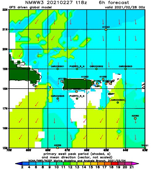
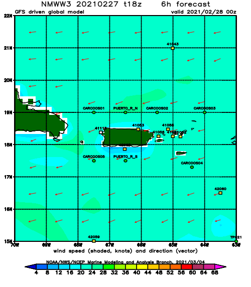
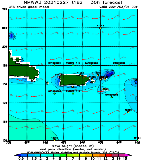
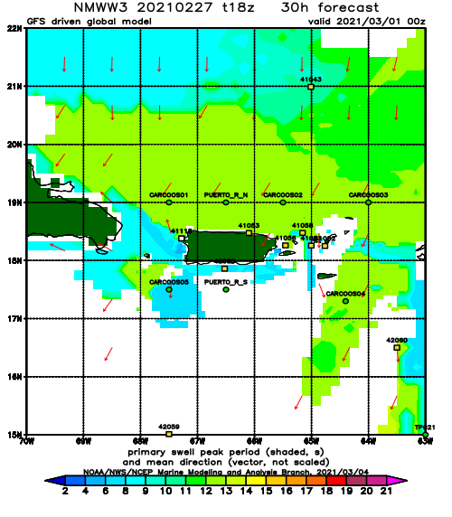
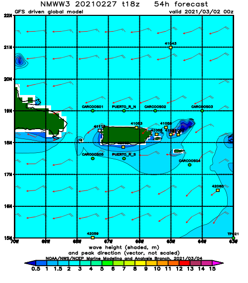
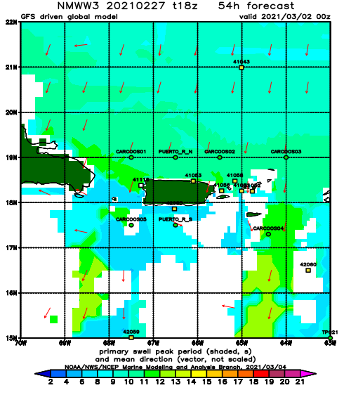
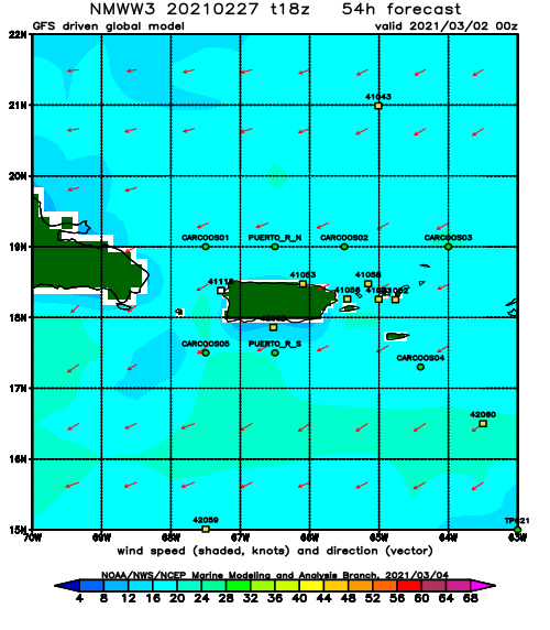
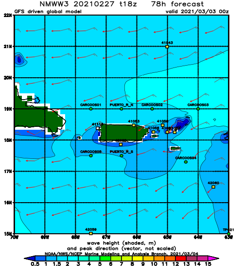
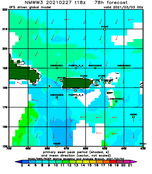
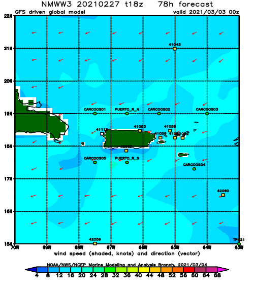
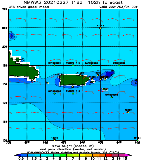
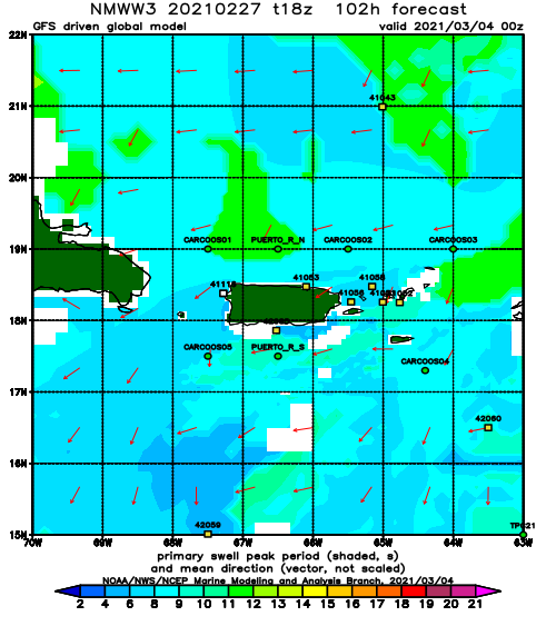
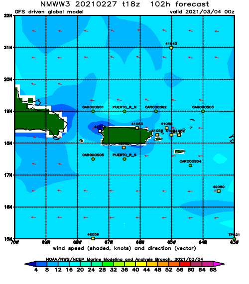
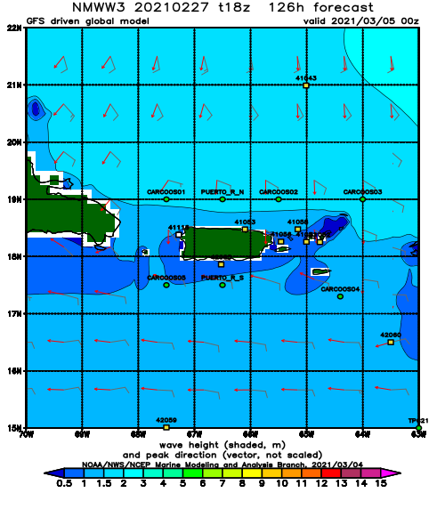
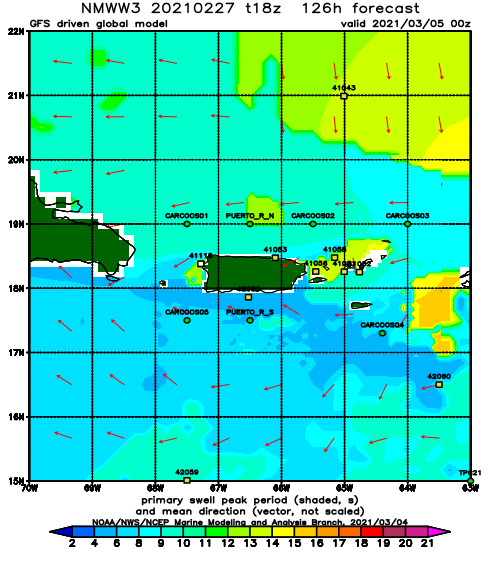
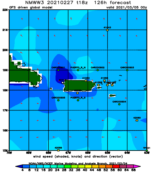
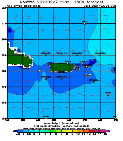
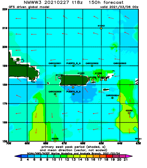
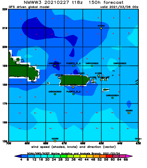
The current storm in the Atlantic will pump swell at us for several days. It will also keep conditions windy. Fortunately, Rincon should be protected and keep the wind-swell groomed. The wind is forecast to be blow very hard out of the East which should keep all tucked away spots clean. The biggest pulse is forecast to show up Saturday. I am inclined to believe it. However, I’m not seeing anything hit the North Atlantic buoy yet so I would say we fade out to background swell on Thursday and Friday. If we see the North Atlantic buoy light up by tomorrow night, a Saturday arrival will be confirmed. Give the storm some time to generate some swell. The wind has been exceptionally difficult to forecast with accuracy for several models, but pretty much all of them are trending on hard East winds starting tomorrow afternoon. The west coast of PR has been consistently defying forecasts this season. I hope the hard offshores win this time. Many days start off perfect but end up being onshore everywhere. I hope this next round of swell stays glassy for all the west facing coast of Rincon. Saturday, Sunday, and Monday will be the biggest if the current model runs are accurate. Expect 2-4ft overhead surf and hard offshore winds for all tucked away Rincon spots.
Today
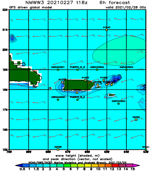
NOAA WaveWatch III Wave Model:
Forecast Swell Period:
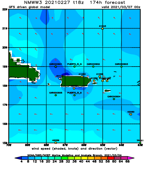
Forecast Winds:
Sat
NOAA WaveWatch III Wave Model:
Forecast Swell Period:
Forecast Winds:
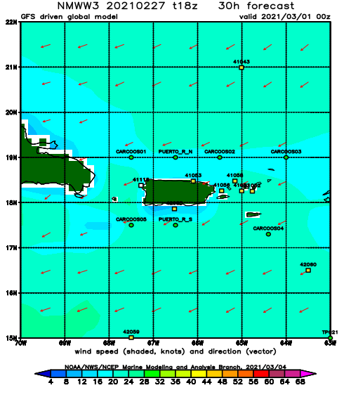
Sun
NOAA WaveWatch III Wave Model:
Forecast Swell Period:
Forecast Winds:
Mon
NOAA WaveWatch III Wave Model:
Forecast Swell Period:
Forecast Winds:
Tue
NOAA WaveWatch III Wave Model:
Forecast Swell Period:
Forecast Winds:
Wed
NOAA WaveWatch III Wave Model:
Forecast Swell Period:
Forecast Winds:
Thu
NOAA WaveWatch III Wave Model:
Forecast Swell Period:
Forecast Winds:
Fri
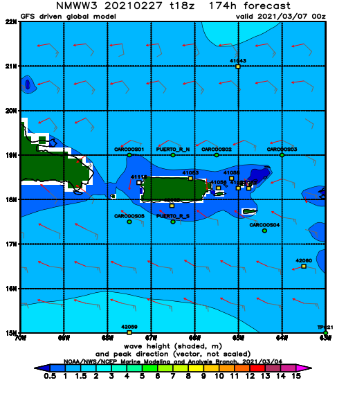
NOAA WaveWatch III Wave Model:
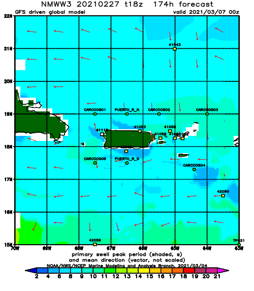
Forecast Swell Period:
Forecast Winds:
