Rincon, Puerto Rico Surf Forecast – Nov 23, 2014

The next few days will be windy, but at least we’ll have waves.
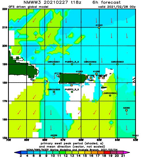
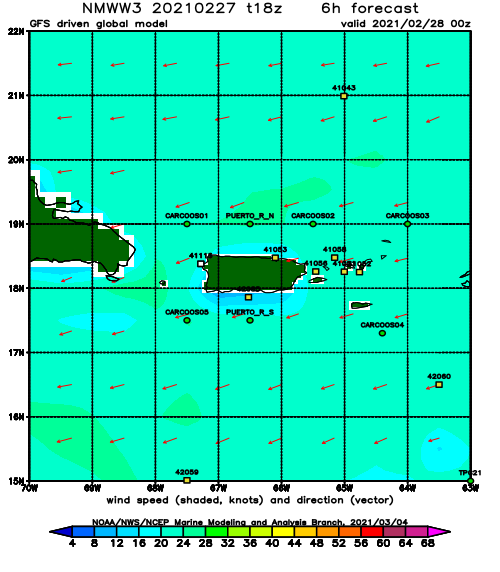
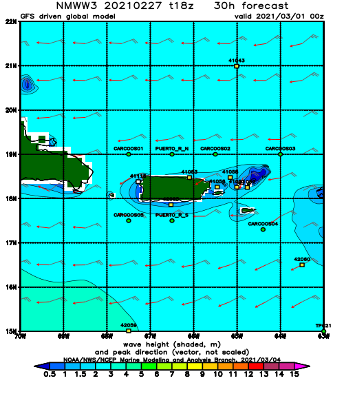
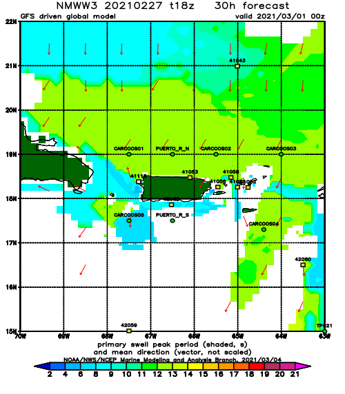
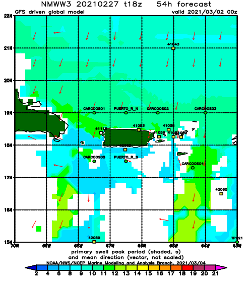
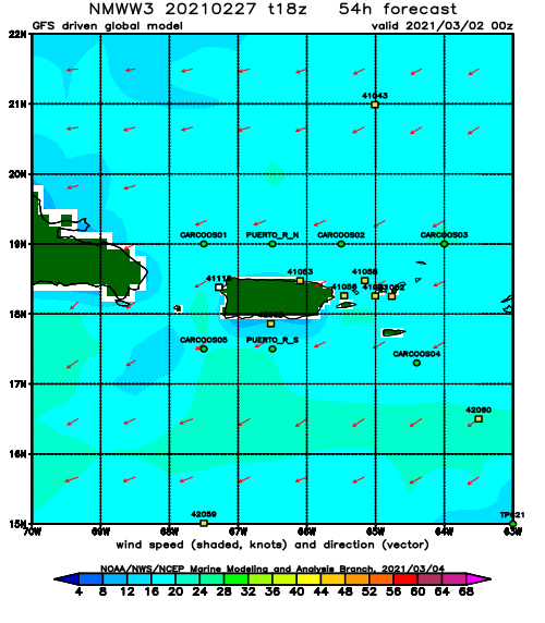
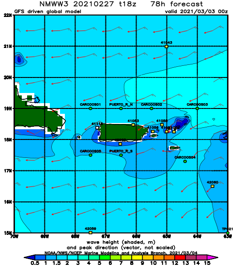
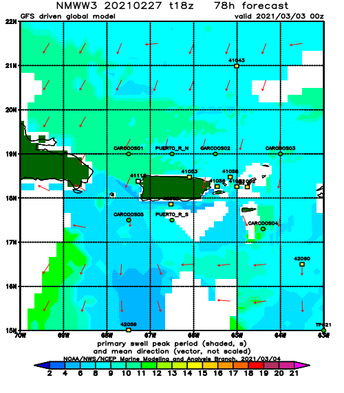
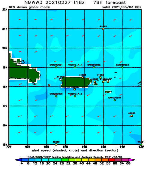
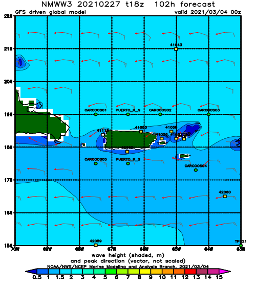
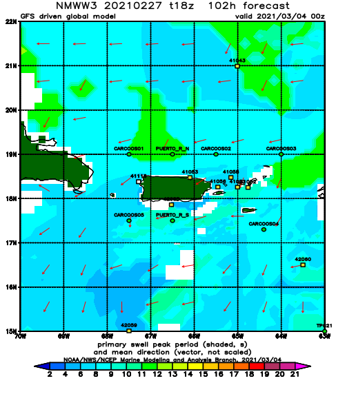
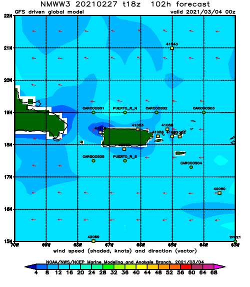
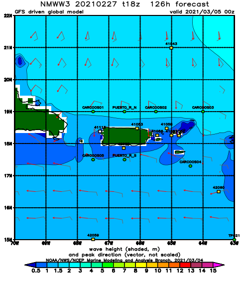
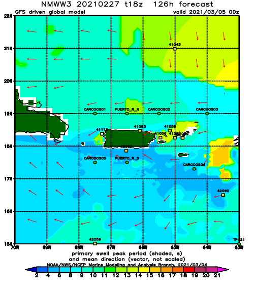
Looks like some north swell will push through the super hard east winds that will be dominant for most of the coming week. This will groom whatever swell is able to stay intact at all the wind protected spots. Unfortunately, most of the North facing beaches that offer an escape from the crowds will be blown out almost the entire time. We should be seeing head high sets and possibly bigger by Monday afternoon. The swell will then fluctuate, but linger through the end of the week.
Today
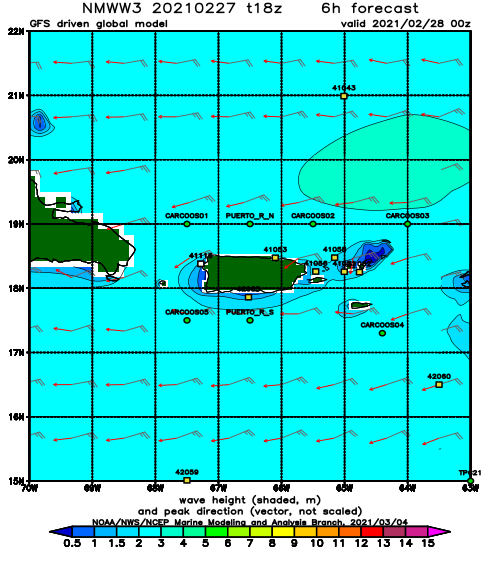
NOAA WaveWatch III Wave Model:
Forecast Swell Period:
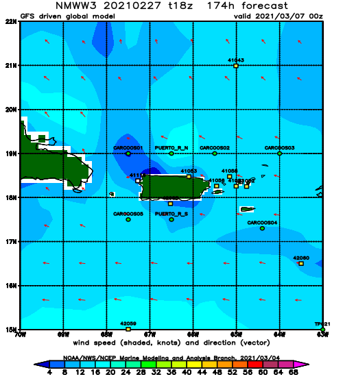
Forecast Winds:
Sun
NOAA WaveWatch III Wave Model:
Forecast Swell Period:
Forecast Winds:
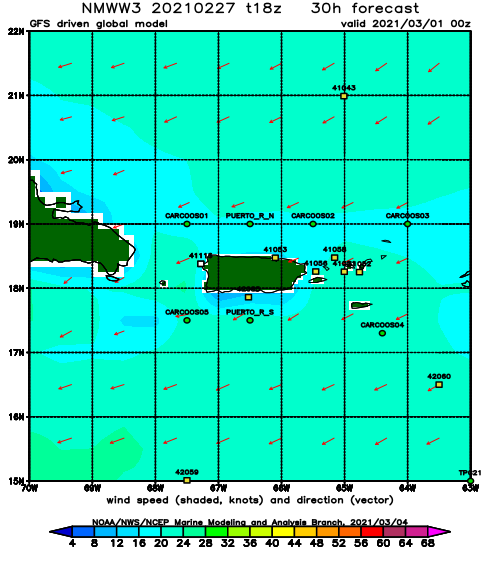
Mon
NOAA WaveWatch III Wave Model:
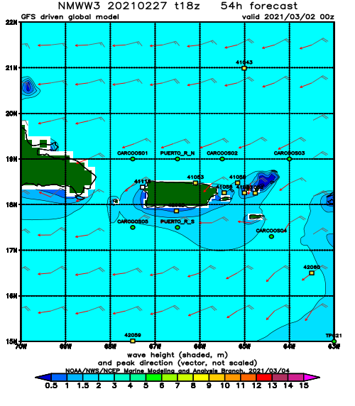
Forecast Swell Period:
Forecast Winds:
Tue
NOAA WaveWatch III Wave Model:
Forecast Swell Period:
Forecast Winds:
Wed
NOAA WaveWatch III Wave Model:
Forecast Swell Period:
Forecast Winds:
Thu
NOAA WaveWatch III Wave Model:
Forecast Swell Period:
Forecast Winds:
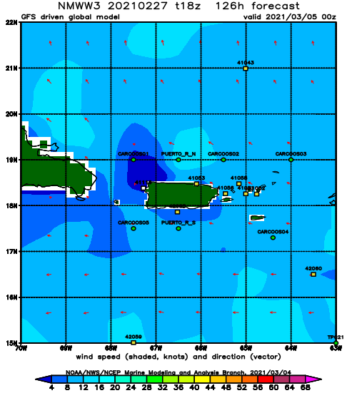
Fri
NOAA WaveWatch III Wave Model:
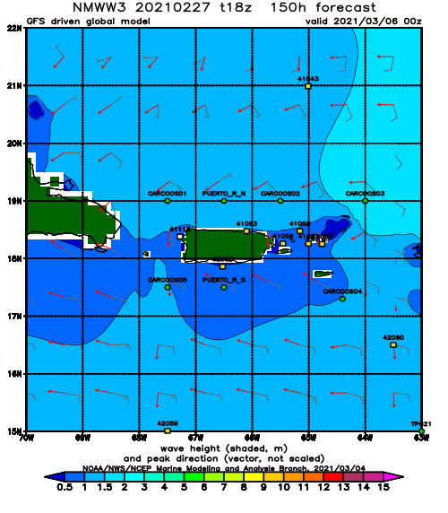
Forecast Swell Period:
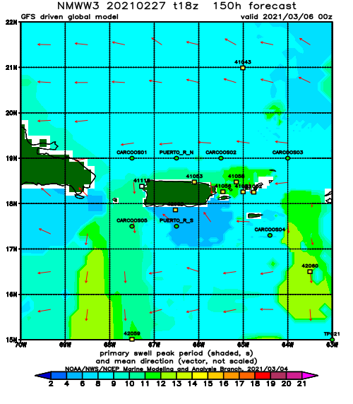
Forecast Winds:
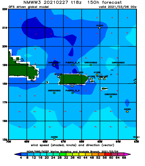
Sat
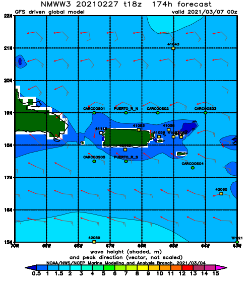
NOAA WaveWatch III Wave Model:
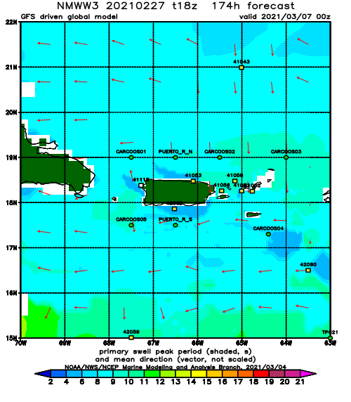
Forecast Swell Period:
Forecast Winds:
