Rincon, Puerto Rico Surf Forecast – Nov 8, 2021

Solid NW swell on the way!
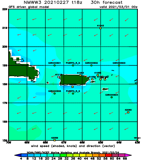
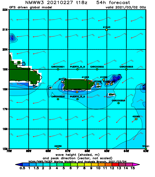
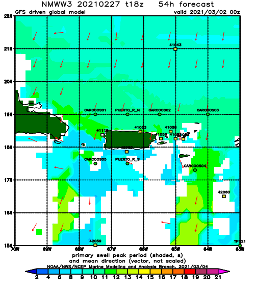
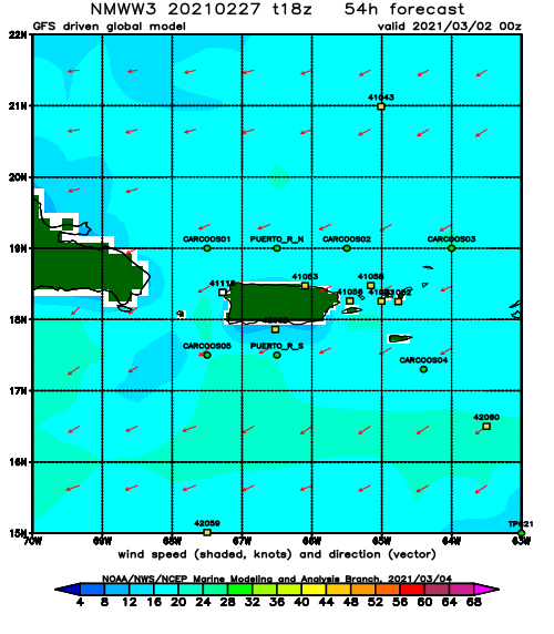
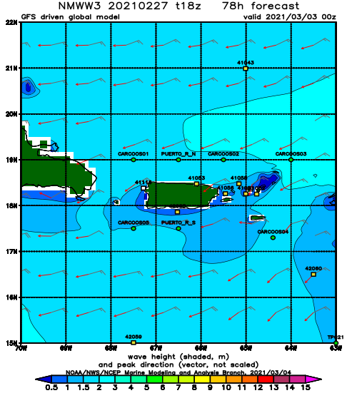
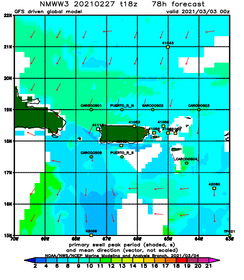
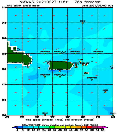
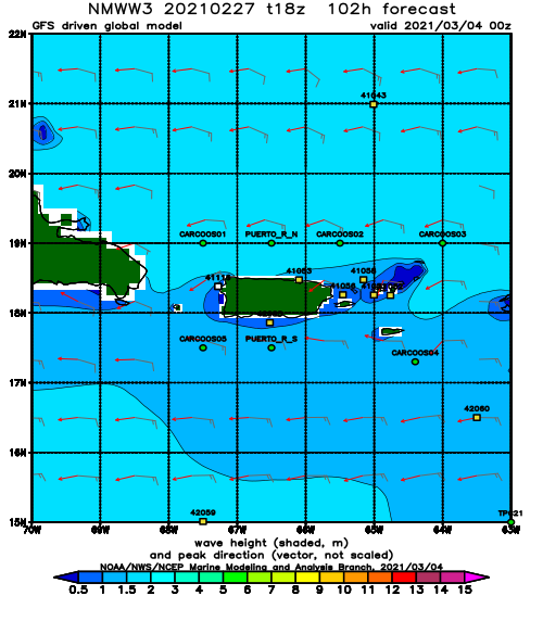
This swell has a lot of west in it and is being generated by a storm right in our prime cold-front swell window. I’m expecting a classic cold-front swell with this one with at least 5 days of quality surf. Tomorrow should start out fun at the most exposed breaks with some chest high surf. By the end of the day the size should grow. Unfortunately we’ve had a horrible pattern of west wind every afternoon and evening for a while now. If this pattern persists, no matter what any forecast model tells you, we will ALWAYS have west wind starting at noon through sundown. This is what we have observed in reality just about every day for the past few months. SW wind on the west coast of Rincon and NW wind on the north coast of Rincon. Other parts of the island don’t seem as affected by this new pattern. We used to see Easterly trade winds and I hope that happens again one day. For right now, don’t be surprised if the conditions deteriorate every afternoon at every Rincon break. Will this front finally break us free? Will the high pressure building in behind the front set the winds back to normal? We’ll have to wait and see. There will definitely be no shortage of swell in the water though. Expect to see Tres Palmas breaking by Wednesday with a lot of tucked away spots working as well. The main breaks will probably be around double overhead. Thursday will only see a slight drop in size and probably an increase in wave quality. double overhead sets will still probably run through every now and then. Friday will begin the slow decline into the weekend where overhead and head high surf will linger on. I expect this weekend to be pretty rough as far as crowds go. There has been no off-season.
Today
NOAA WaveWatch III Wave Model:
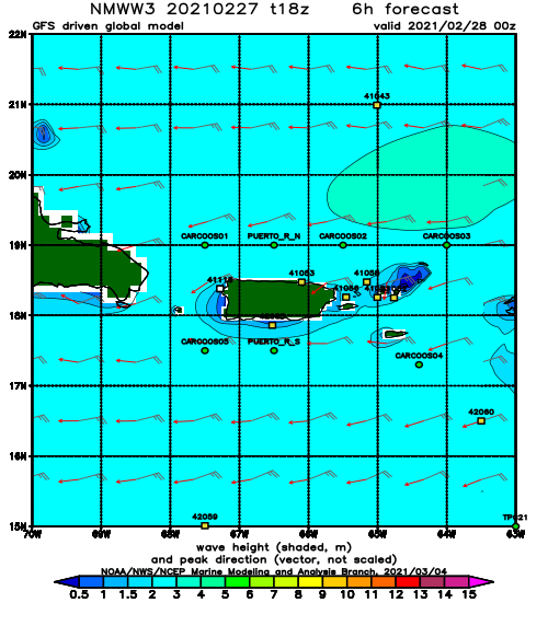
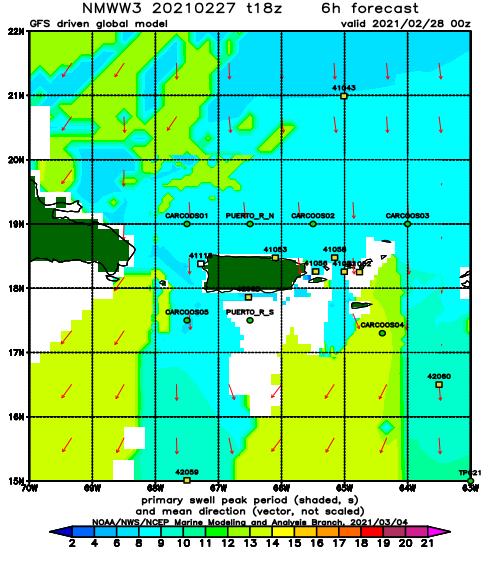
Forecast Swell Period:
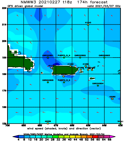
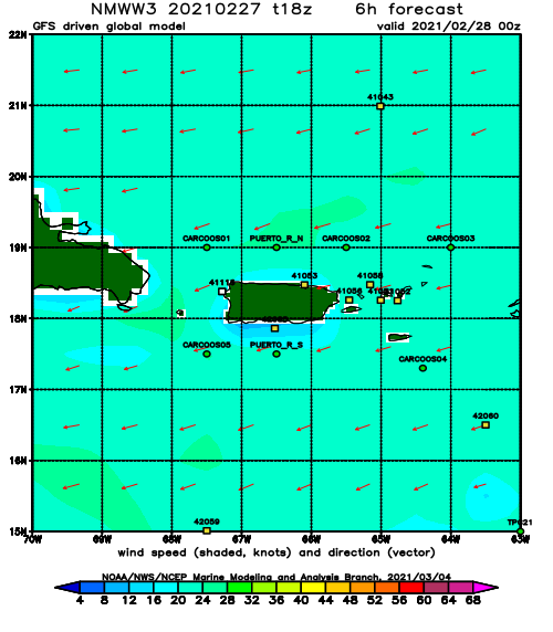
Forecast Winds:
Sat
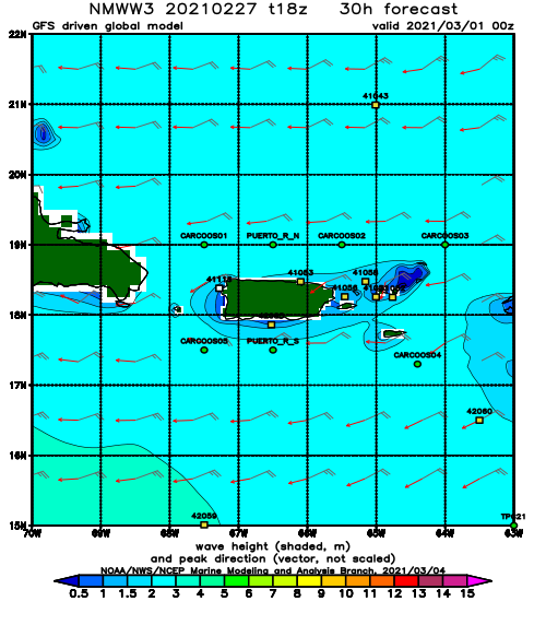
NOAA WaveWatch III Wave Model:
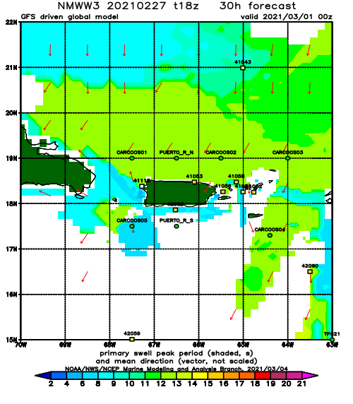
Forecast Swell Period:
Forecast Winds:
Sun
NOAA WaveWatch III Wave Model:
Forecast Swell Period:
Forecast Winds:
Mon
NOAA WaveWatch III Wave Model:
Forecast Swell Period:
Forecast Winds:
Tue
NOAA WaveWatch III Wave Model:
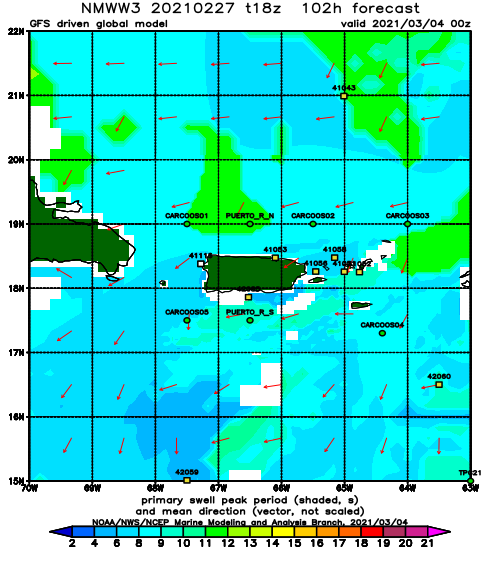
Forecast Swell Period:
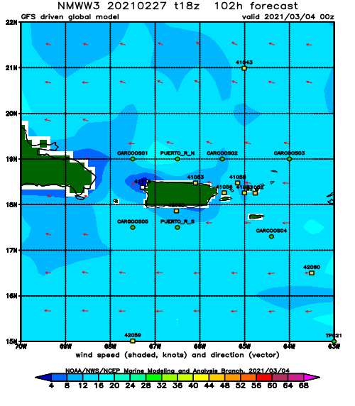
Forecast Winds:
Wed
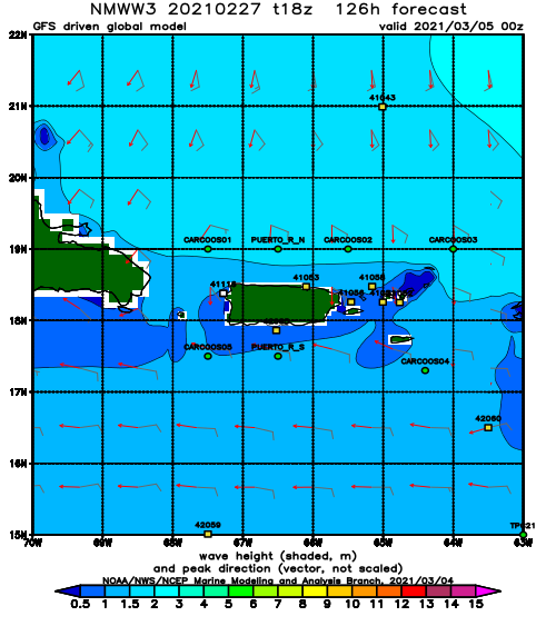
NOAA WaveWatch III Wave Model:
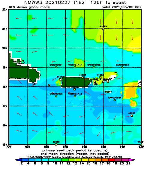
Forecast Swell Period:
Forecast Winds:
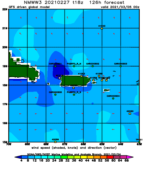
Thu
NOAA WaveWatch III Wave Model:
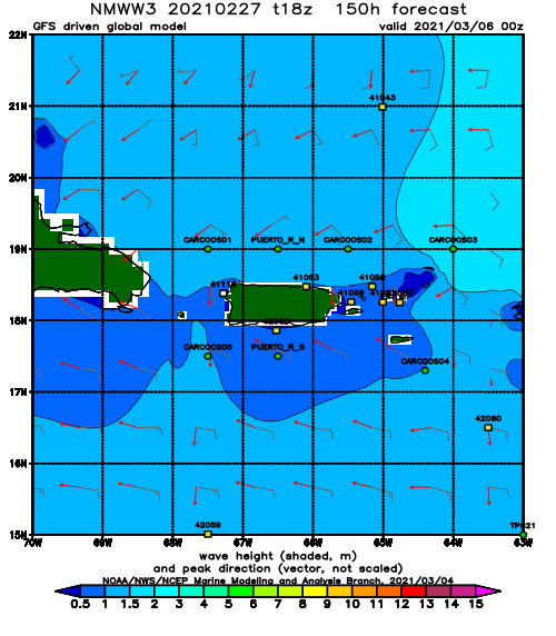
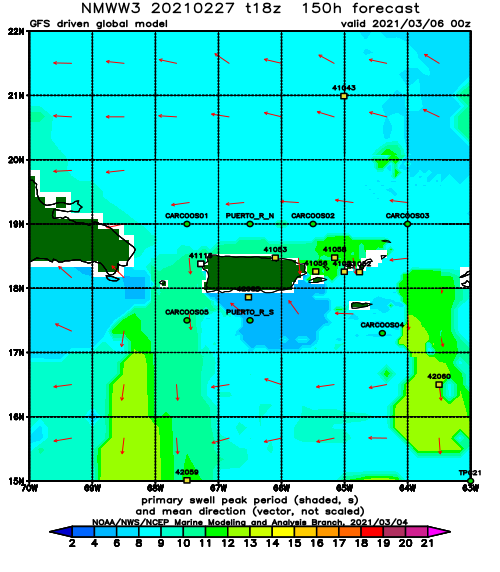
Forecast Swell Period:
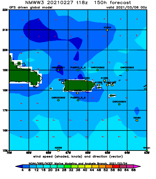
Forecast Winds:
Fri
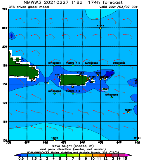
NOAA WaveWatch III Wave Model:
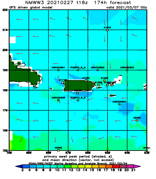
Forecast Swell Period:
Forecast Winds:
