Rincon, Puerto Rico Surf Forecast – Oct 11, 2016
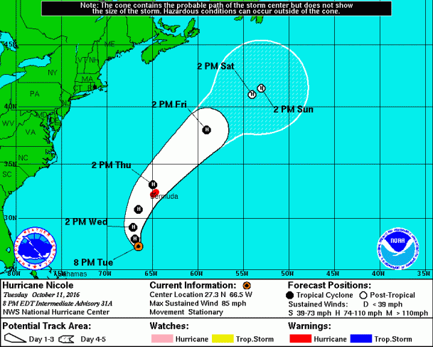
Hurricane Nicole Gives Us More Surf!
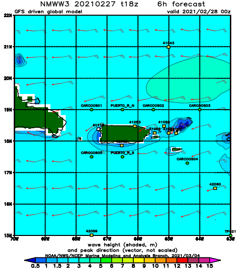
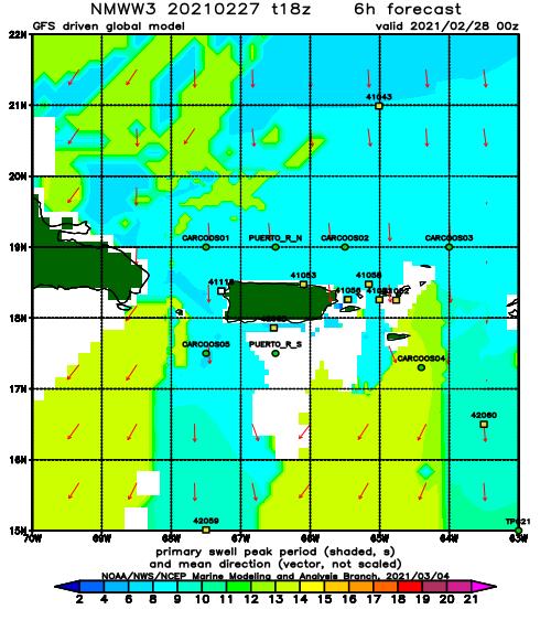
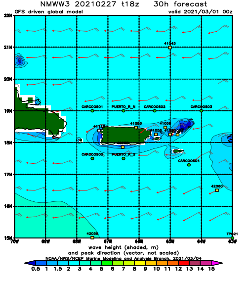
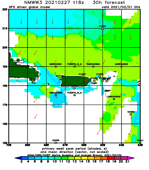
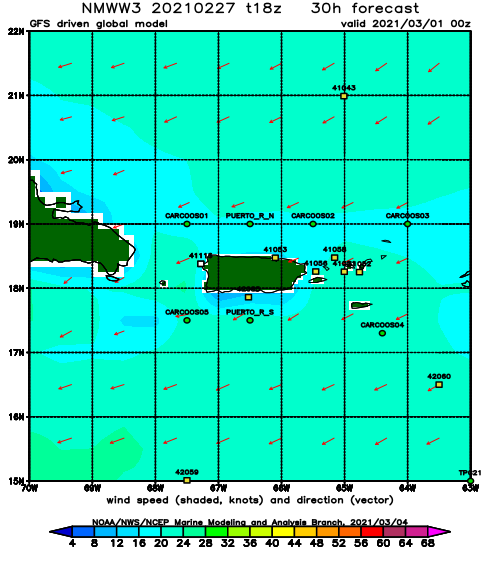
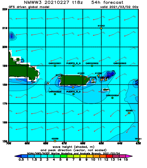
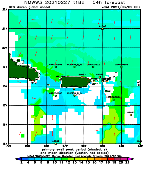
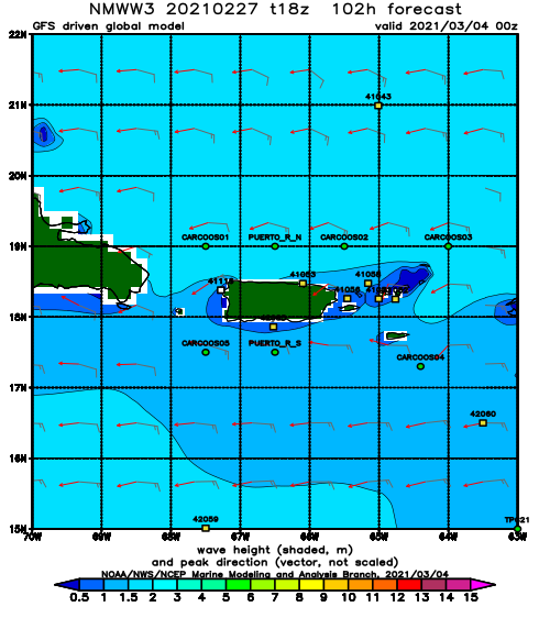
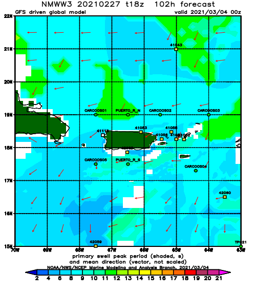
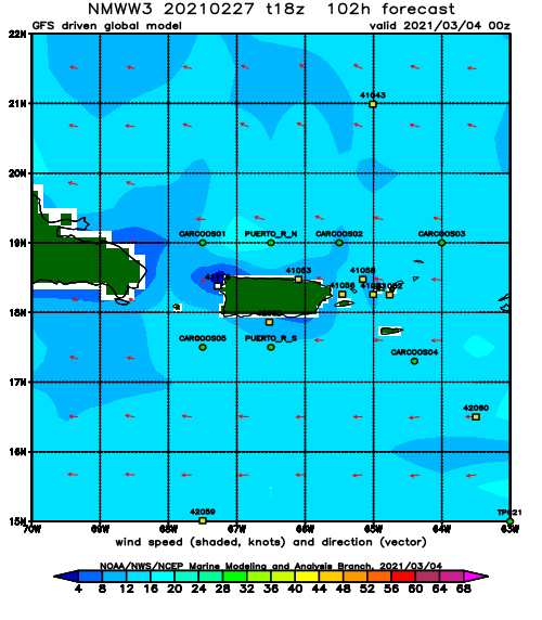
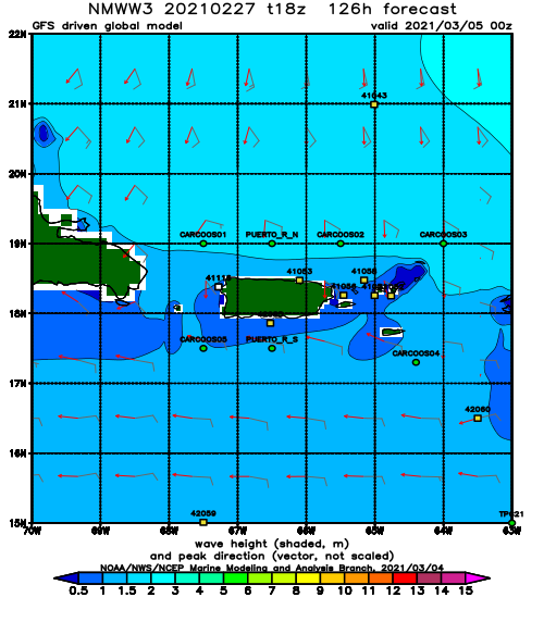
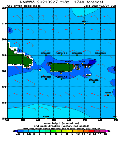
Enjoy the nonstop swell people. It’s been a long hot summer. Hurricane Nicole has just been sitting right in our swell window and strengthening. As the swell from the cold-front that ate Matthew fades out, we should have plenty of hurricane swell filling in. Expect conditions to remain overhead through the rest of the week and at least chest high over the weekend. Then next week we could see another round of long period swell when Nicole goes extra-tropical and merges with a cold front. What an amazing setup we have right now. Now go surf!
Today
NOAA WaveWatch III Wave Model:
Forecast Swell Period:
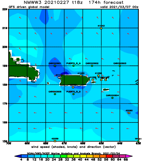
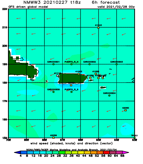
Forecast Winds:
Thu
NOAA WaveWatch III Wave Model:
Forecast Swell Period:
Forecast Winds:
Fri
NOAA WaveWatch III Wave Model:
Forecast Swell Period:
Forecast Winds:
Sat
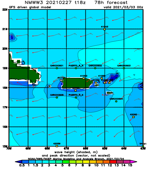
NOAA WaveWatch III Wave Model:
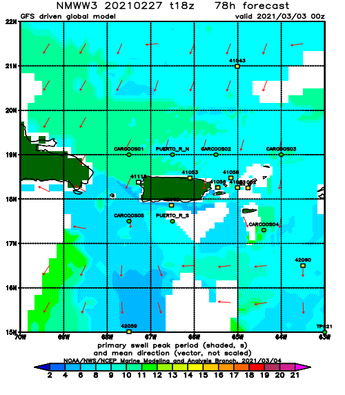
Forecast Swell Period:
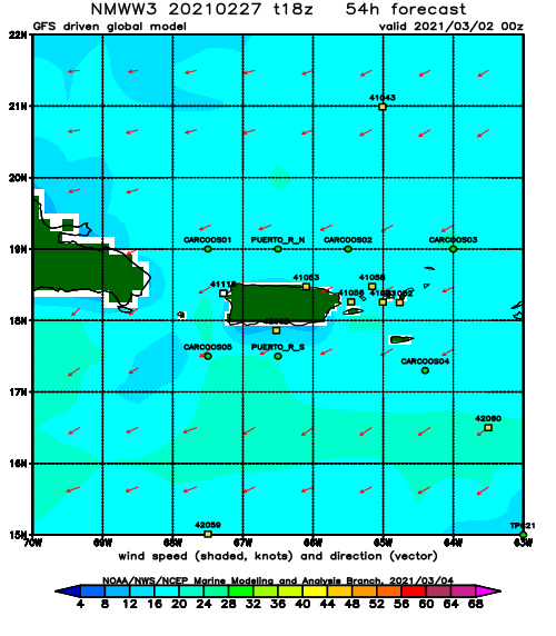
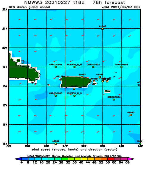
Forecast Winds:
Sun
NOAA WaveWatch III Wave Model:
Forecast Swell Period:
Forecast Winds:
Mon
NOAA WaveWatch III Wave Model:
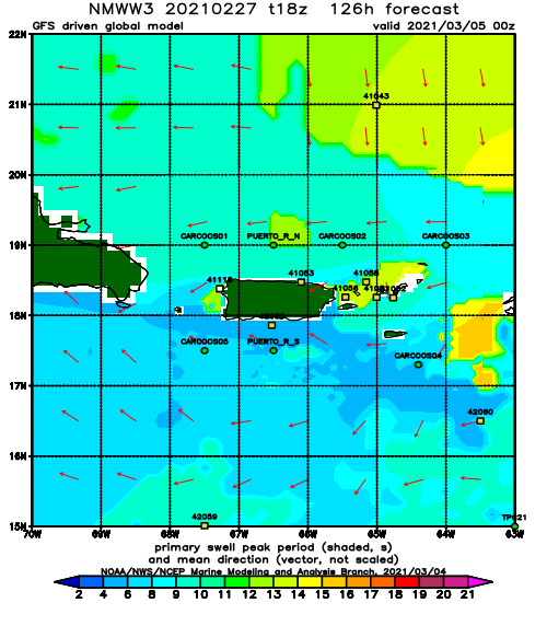
Forecast Swell Period:
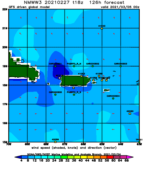
Forecast Winds:
Tue
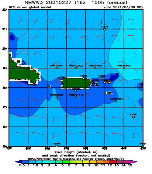
NOAA WaveWatch III Wave Model:
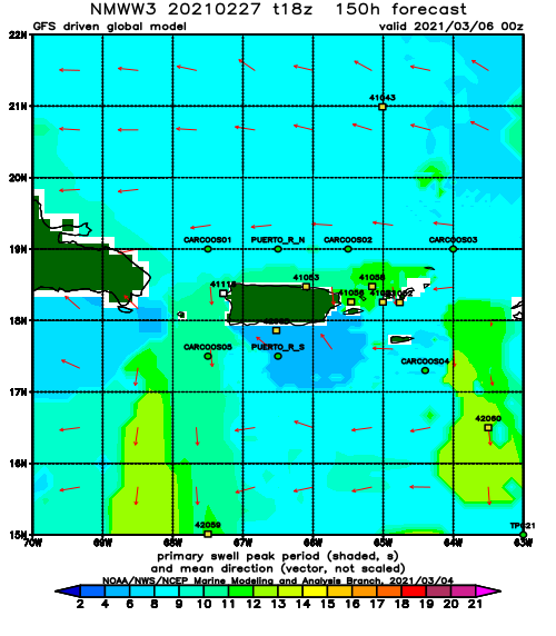
Forecast Swell Period:
Forecast Winds:
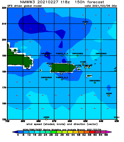
Wed
NOAA WaveWatch III Wave Model:
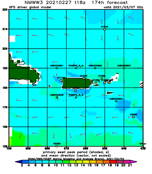
Forecast Swell Period:
Forecast Winds:
