Rincon, Puerto Rico Surf Forecast – Sept 2, 2019

Wake Up! It’s September in Full Effect!
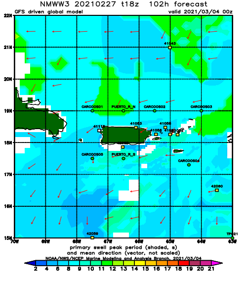
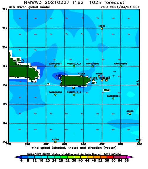
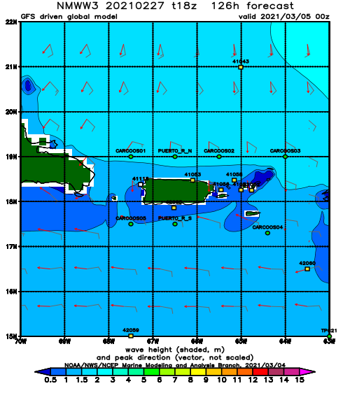
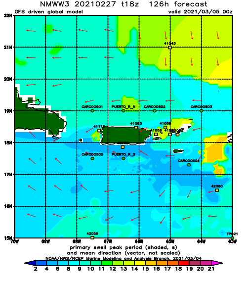
Take a look at the NHC image that is loaded at the bottom of this page and the satellite loop. We’re in for a very active September. September is always the peak of Hurricane Season and this 2019 has turned out to be a doozie! Hurricane Dorian decided to mercilessly and relentlessly pound the Bahamas as officially the strongest hurricane on record to hit the Northern Bahamas. If he can take a break from that and just move out into the ocean we will get waves and no more people will have to suffer his wrath. That is what we all want. As it is now, the next two or three days are supposed to remain small scale for surf here in Rincon. But wow next week is starting to look like a legit swell will move in. We might see some overhead surf from Dorian’s escapades in the North Atlantic. We might see some hard angle WNW swell hit in the weekend before the bigger stuff early next week.
Today
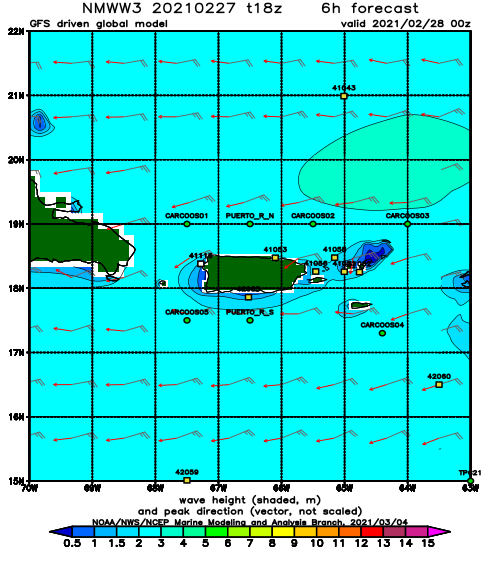
NOAA WaveWatch III Wave Model:
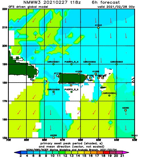
Forecast Swell Period:
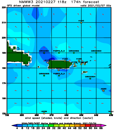
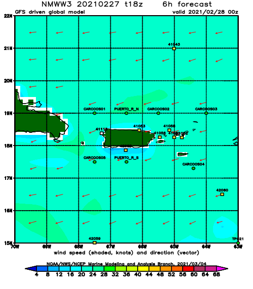
Forecast Winds:
Sat
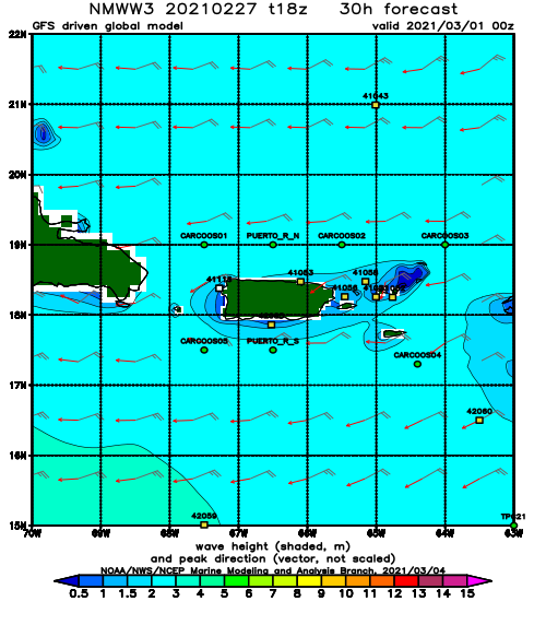
NOAA WaveWatch III Wave Model:
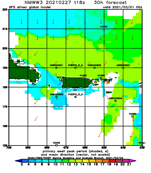
Forecast Swell Period:
Forecast Winds:
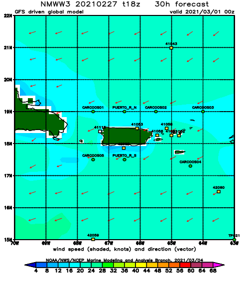
Sun
NOAA WaveWatch III Wave Model:
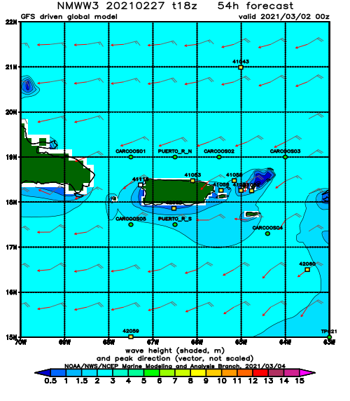
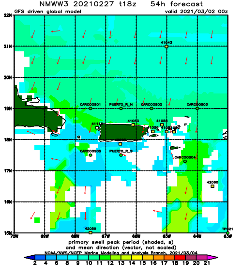
Forecast Swell Period:
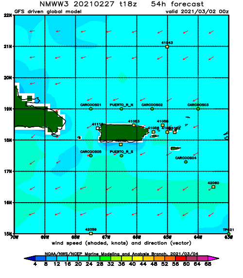
Forecast Winds:
Mon
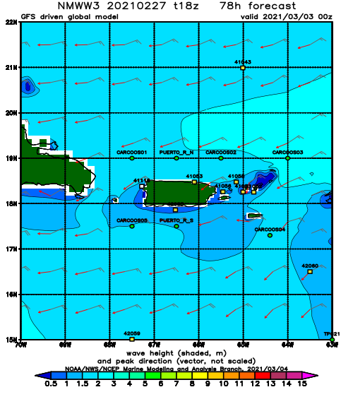
NOAA WaveWatch III Wave Model:
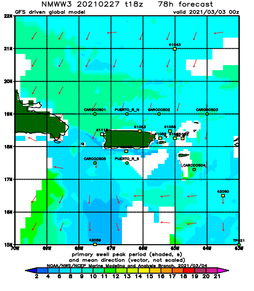
Forecast Swell Period:
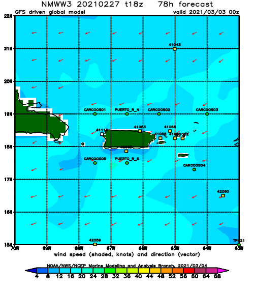
Forecast Winds:
Tue
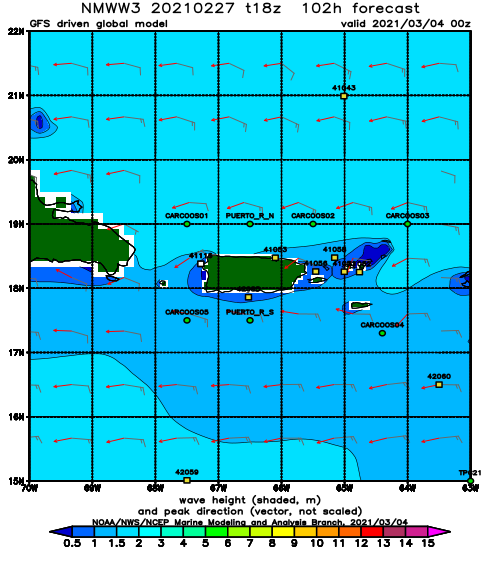
NOAA WaveWatch III Wave Model:
Forecast Swell Period:
Forecast Winds:
Wed
NOAA WaveWatch III Wave Model:
Forecast Swell Period:
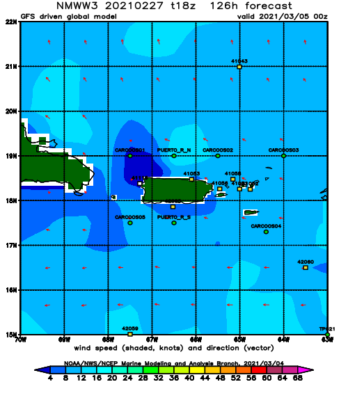
Forecast Winds:
Thu
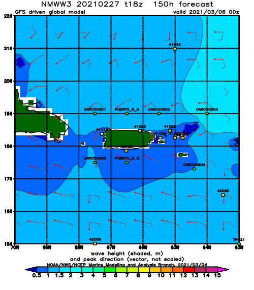
NOAA WaveWatch III Wave Model:
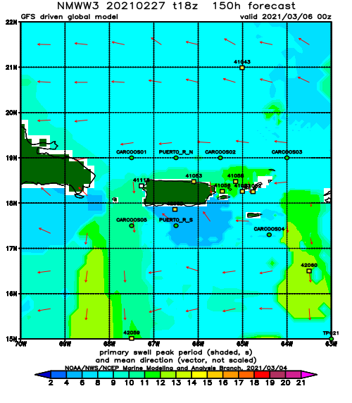
Forecast Swell Period:
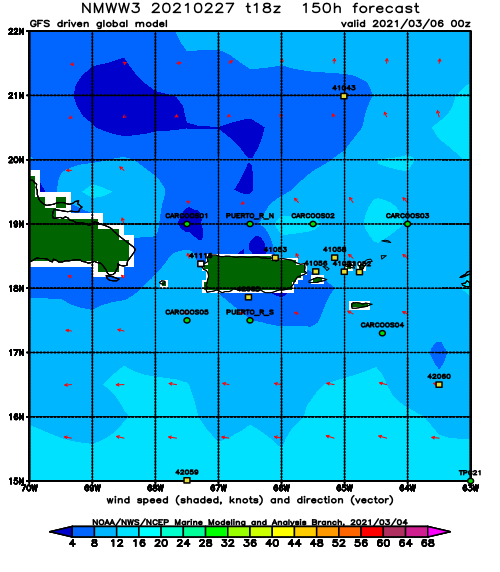
Forecast Winds:
Fri
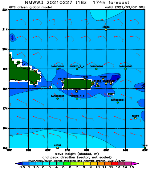
NOAA WaveWatch III Wave Model:
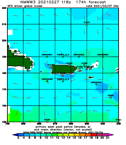
Forecast Swell Period:
Forecast Winds:
