Rincon, Puerto Rico Surf Forecast – Sept 3, 2021

Hurricane Larry forecast to bring some surf!
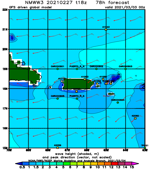
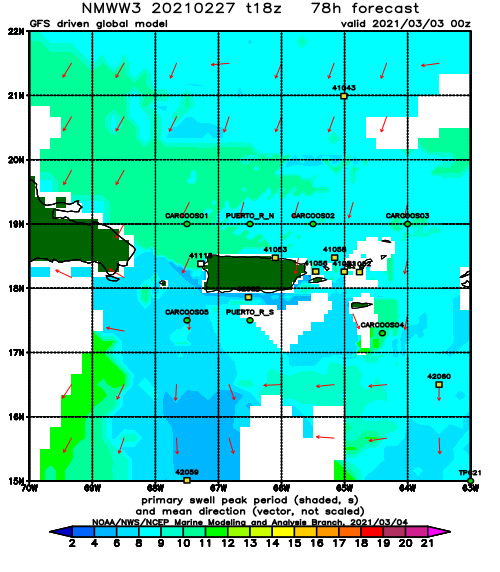
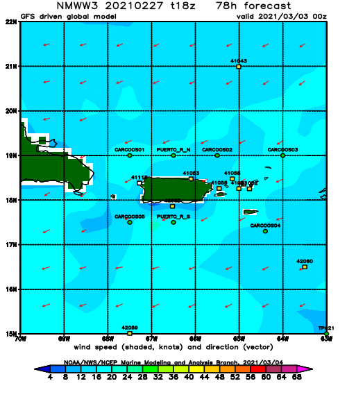
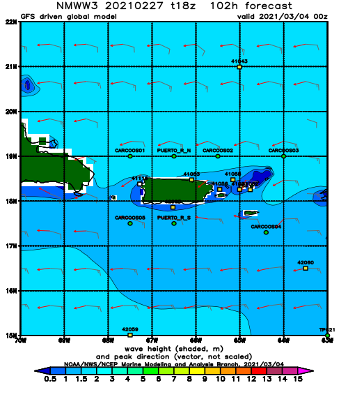
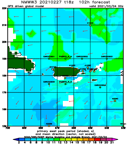
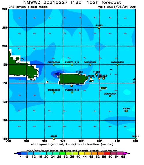
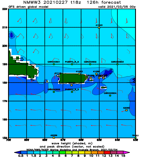
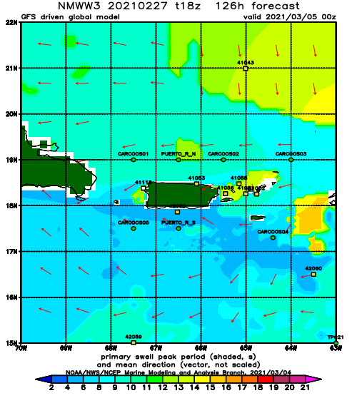
Where all other storms so far have failed, Larry should be able to “Git-R-Done”. The current forecast brings Hurricane Larry to major hurricane strength over the weekend. If Larry continues to grow in size and intensity, he should be a proper wave maker. Everyone will get to surf from this storm if it keeps it’s middle of Atlantic forecast track. Giant open ocean storms with no land damage is what everyone wants during hurricane season – not catastrophic damage. By Sunday, the east side of the island will receive it’s first dose of solid long-period ground swell. Monday will most likely see the initial pulse at extremely exposed spots on the North side of the island. Most of the island will be surfable with good conditions. Rincon, however will very much get the smallest waves on the island during this swell event. The track of Larry doesn’t look to pass 65 West – the make or break zone for a storm swell to really hit Rincon. If the wind gets pulled south, we could possibly see the entire North coast of Puerto Rico firing with glassy conditions. No need to fight at crowded peaks. How big will the swell be? I’m anticipating head high with sets a couple feet overhead for most spots. The exception will be Fajardo. Fajardo will be huge at the swells arrival. The current will probably also be a bit intense. Also, never mind what I just said, there’s no waves in Fajardo. Don’t go there. Anyways, Rincon should start to see some swell early next week perhaps around Tuesday. For Rincon I forecast conditions great for wavestorm’s to crash into eachother and flail through the air after nose diving. Some decent, chest high sets should be able to roll in at some exposed Rincon spots perfect for beginners to drop in eachother and frustrate the one dude who can actually surf but wasn’t able to drive north all swell. Surf lessons should continue to populate the line-up with at least 30-50 people at each main break. Stay safe and have fun!
Today
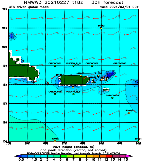
NOAA WaveWatch III Wave Model:
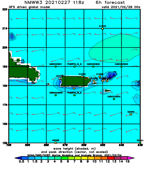
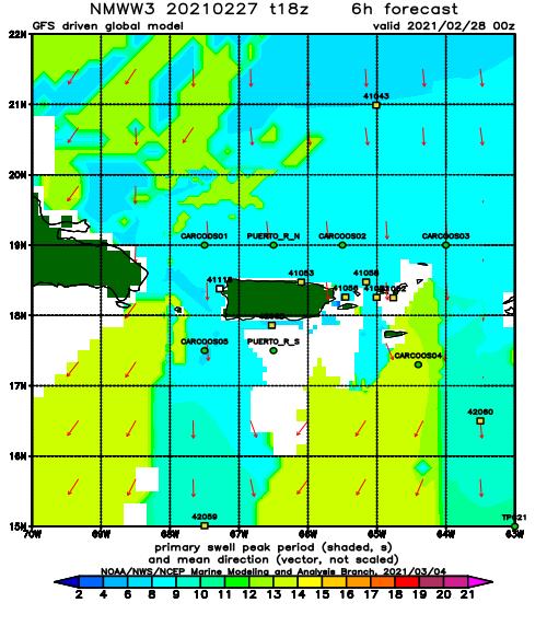
Forecast Swell Period:
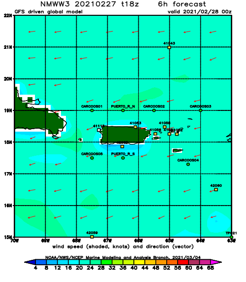
Forecast Winds:
Thu
NOAA WaveWatch III Wave Model:
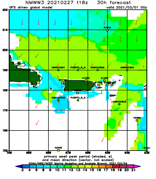
Forecast Swell Period:
Forecast Winds:
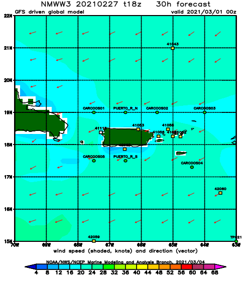
Fri
NOAA WaveWatch III Wave Model:
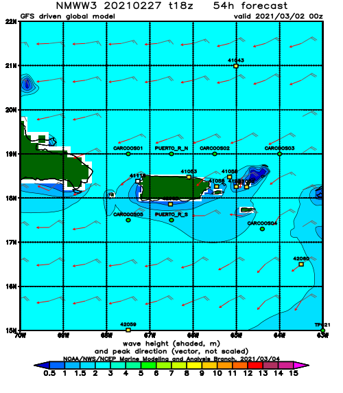
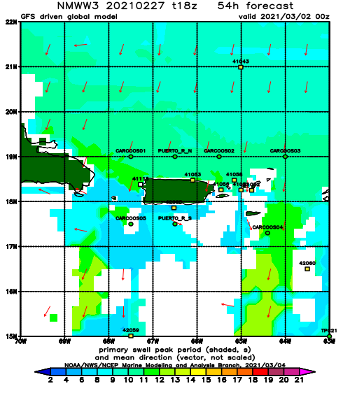
Forecast Swell Period:
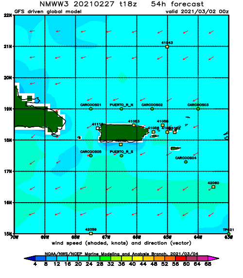
Forecast Winds:
Sat
NOAA WaveWatch III Wave Model:
Forecast Swell Period:
Forecast Winds:
Sun
NOAA WaveWatch III Wave Model:
Forecast Swell Period:
Forecast Winds:
Mon
NOAA WaveWatch III Wave Model:
Forecast Swell Period:
Forecast Winds:
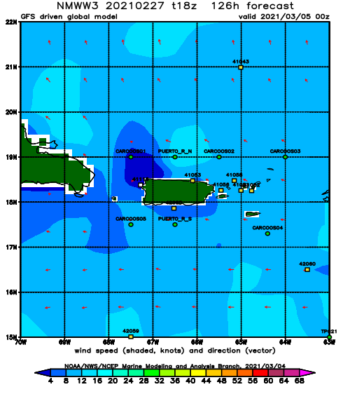
Tue
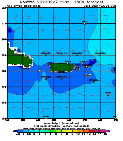
NOAA WaveWatch III Wave Model:
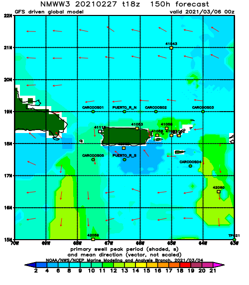
Forecast Swell Period:
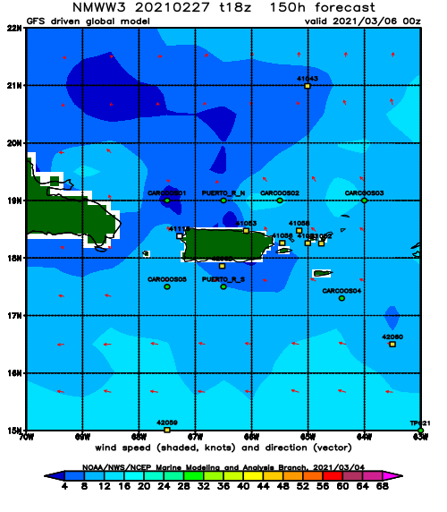
Forecast Winds:
Wed
NOAA WaveWatch III Wave Model:
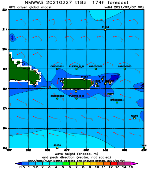
Forecast Swell Period:
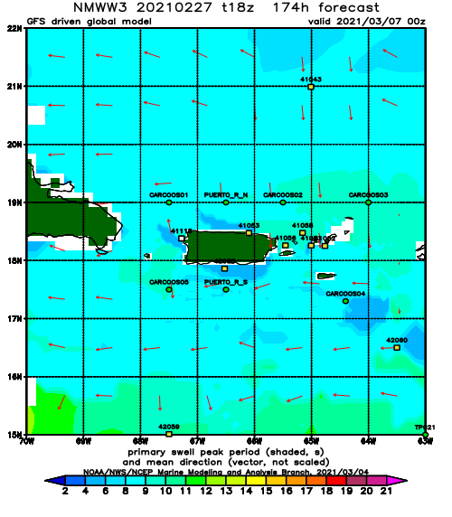
Forecast Winds:
